The Faroe Islands are a self-governing archipelago of 18 volcanic islands in the North Atlantic Ocean, located roughly halfway between Iceland and Norway. They are part of the Kingdom of Denmark but govern most of their own domestic affairs.
- Capital: Tórshavn
- Population: About 55,000
- Languages: Faroese (official) and Danish
- Currency: Faroese króna (pegged to the Danish krone)
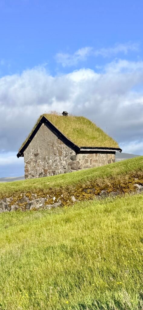
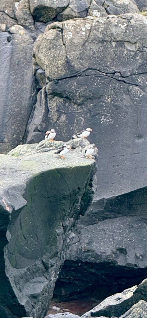
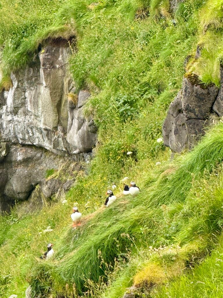
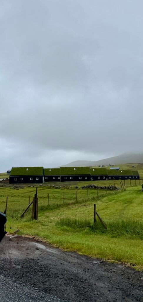
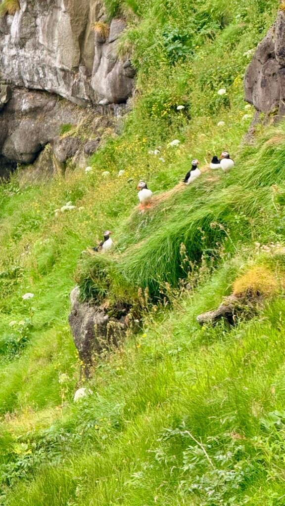
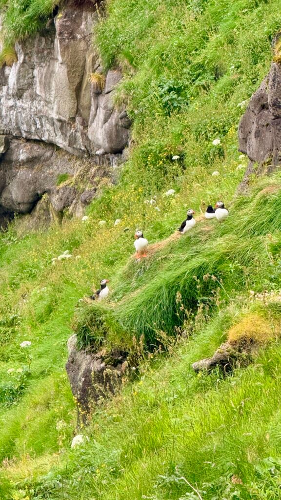
- Best known for: Dramatic sea cliffs, waterfalls, puffins, turf-roofed houses, and excellent hiking
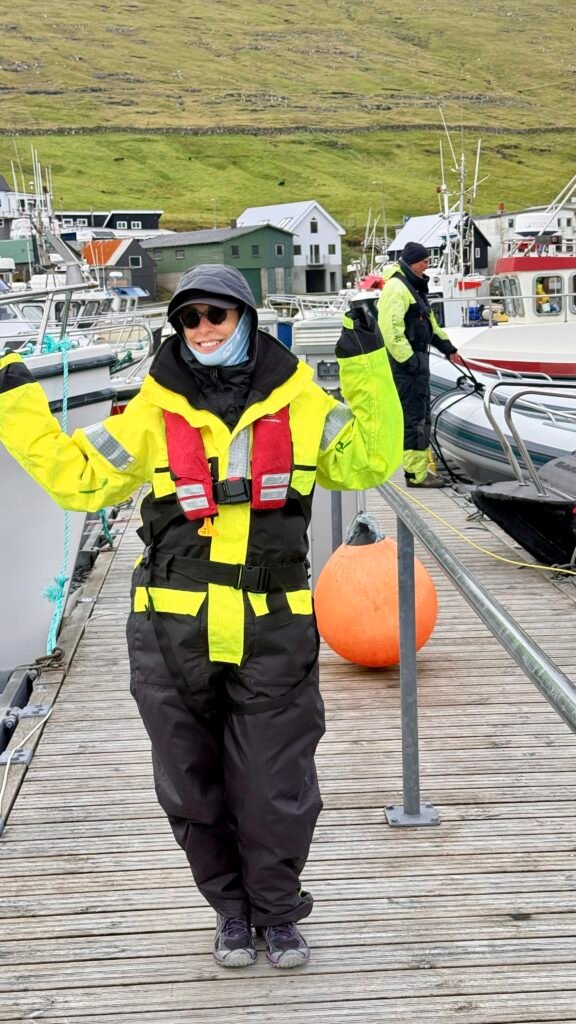
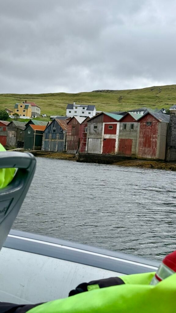
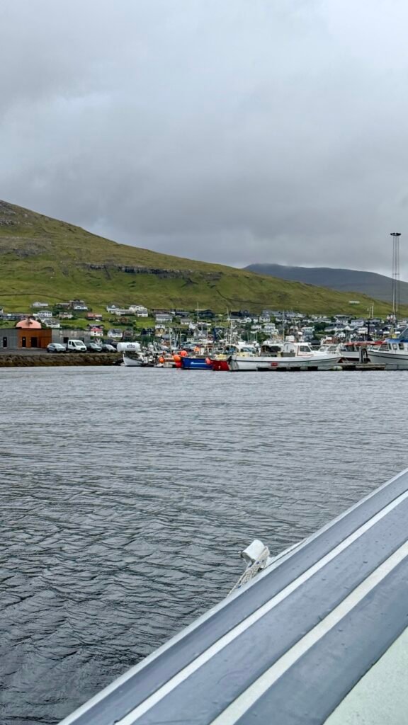
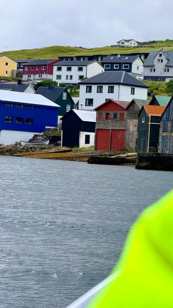
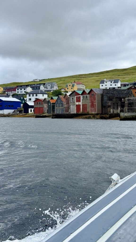
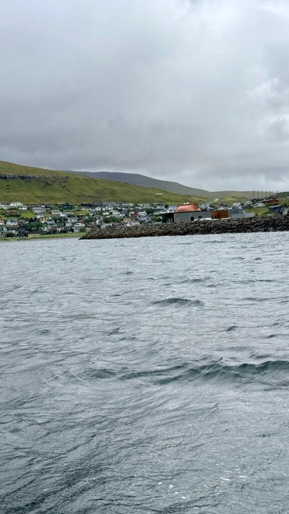
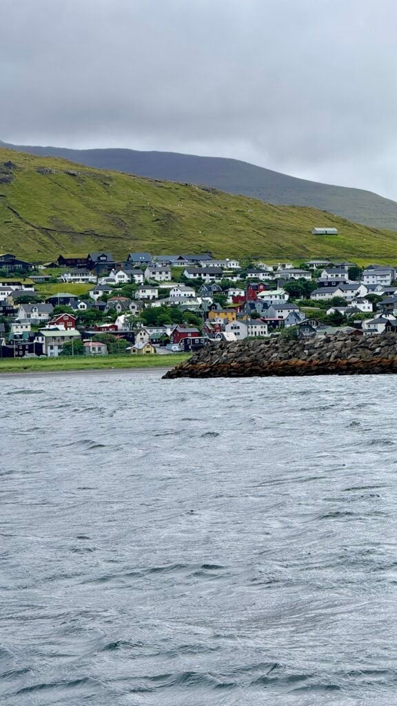
We based in Torshavn for 5 days and did a daytrip to the different islands each day. A wonderful place that is still untouched by tourism.
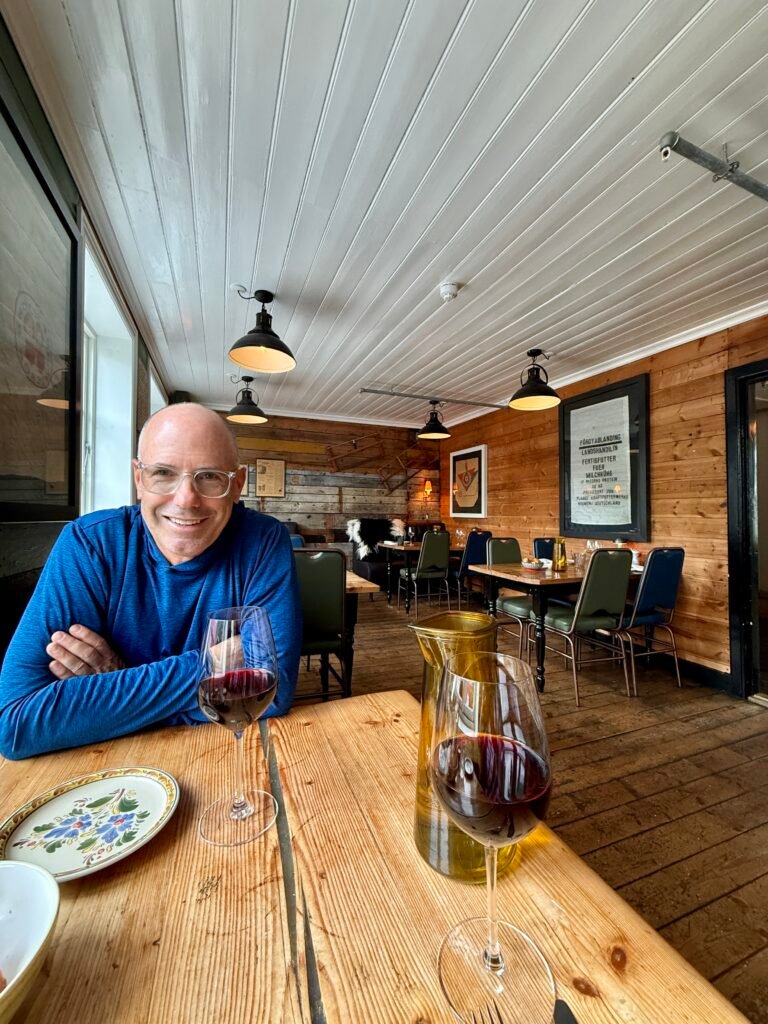
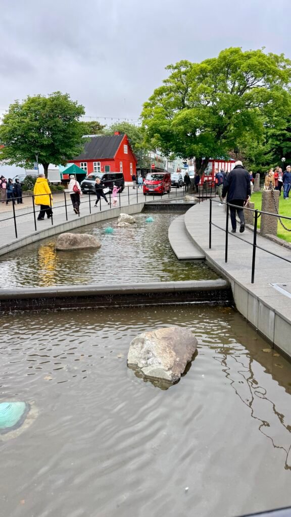
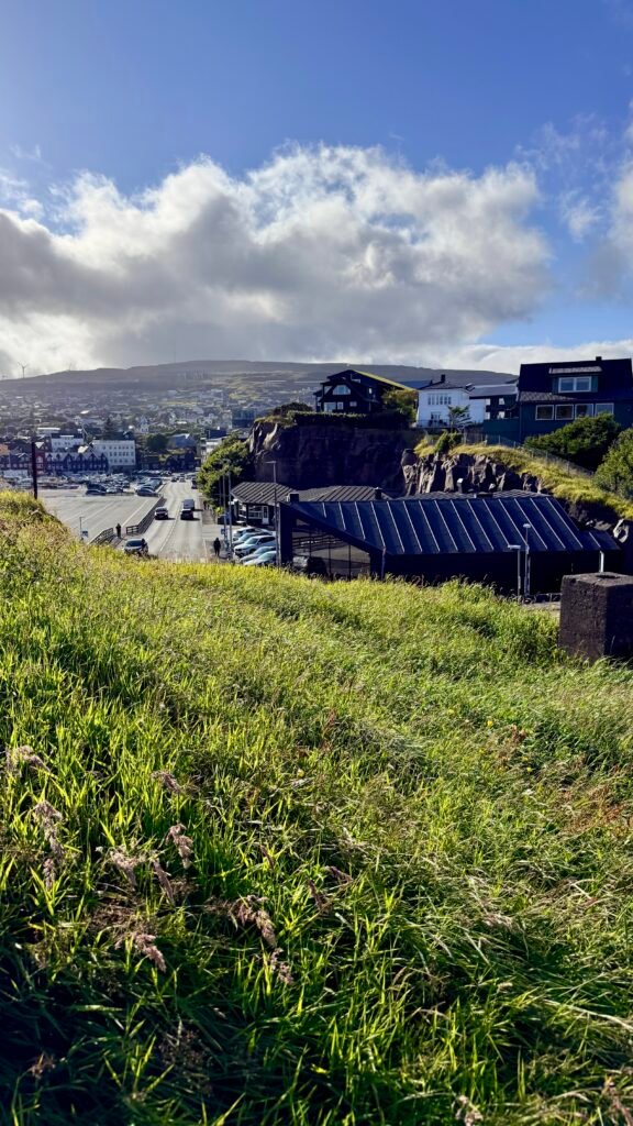
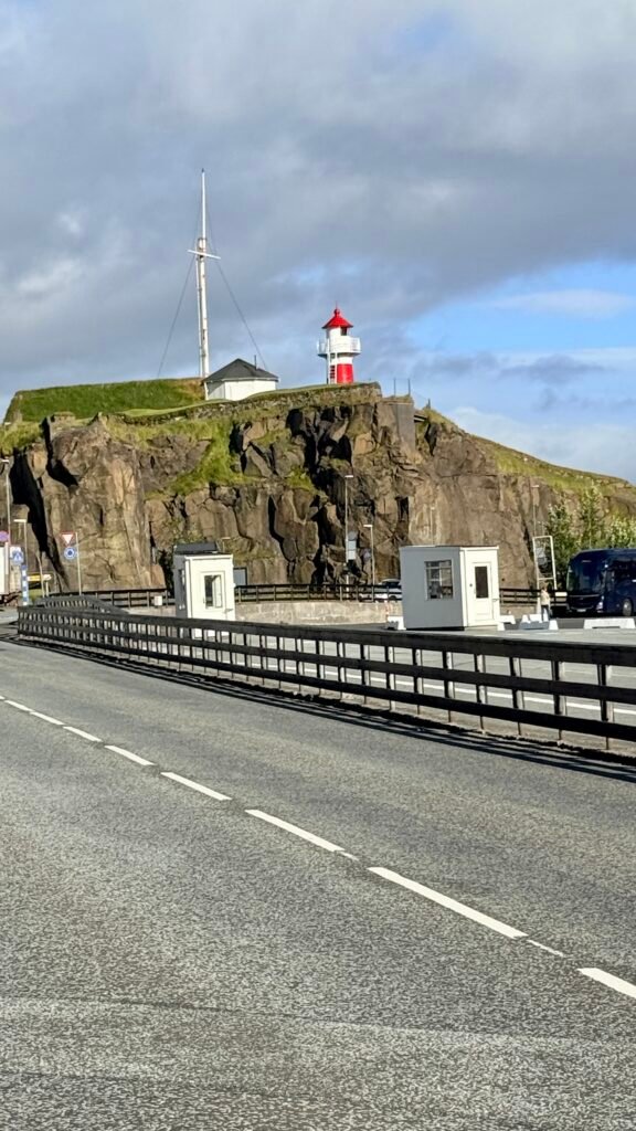
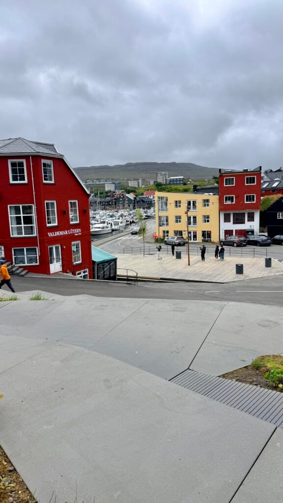
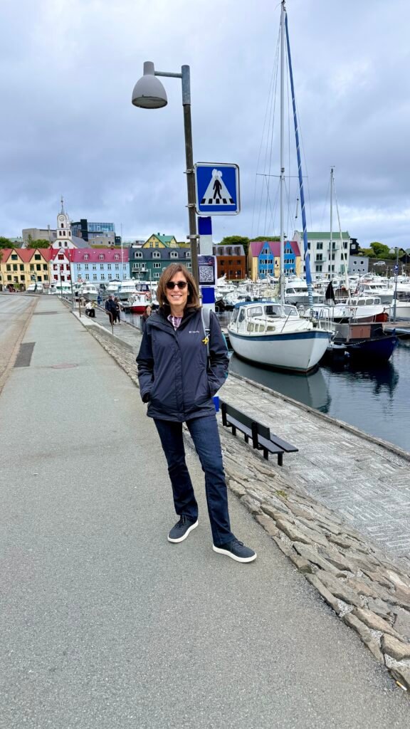
Tórshavn is the capital and largest town of the Faroe Islands, with around 14,000 people. It makes an excellent base for exploring the islands. Make sure you have dinner reservations each night and we loved the Foroyar Hotel.
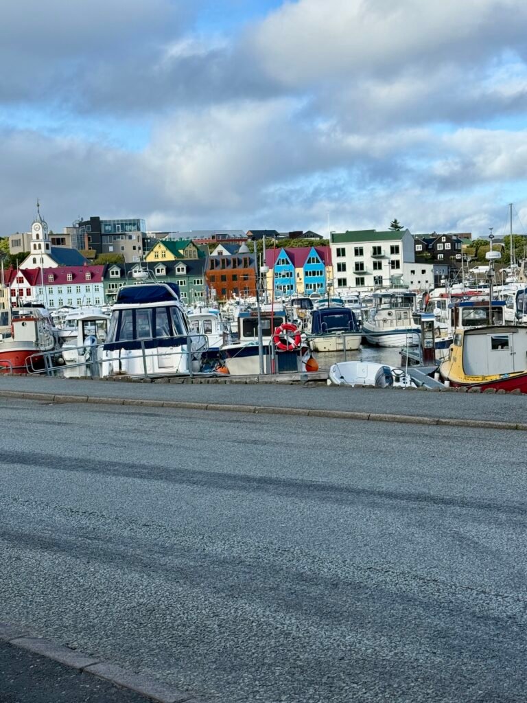
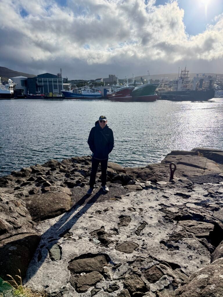
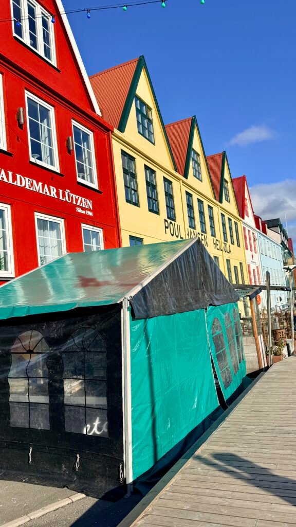
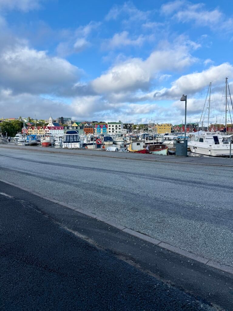
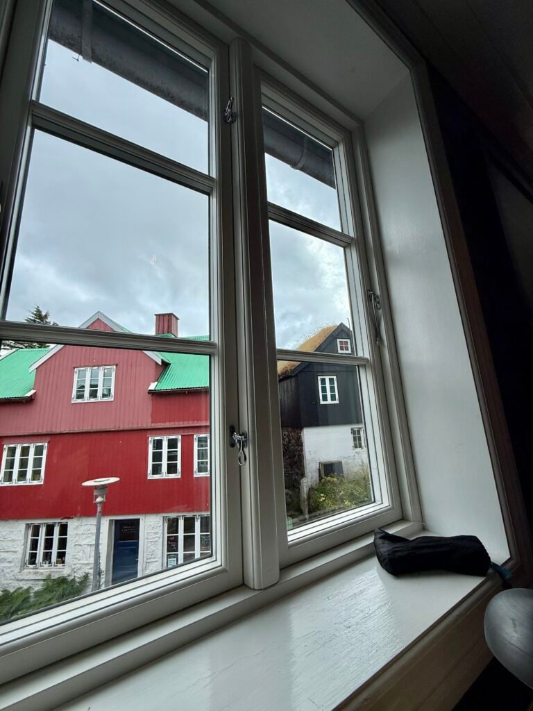
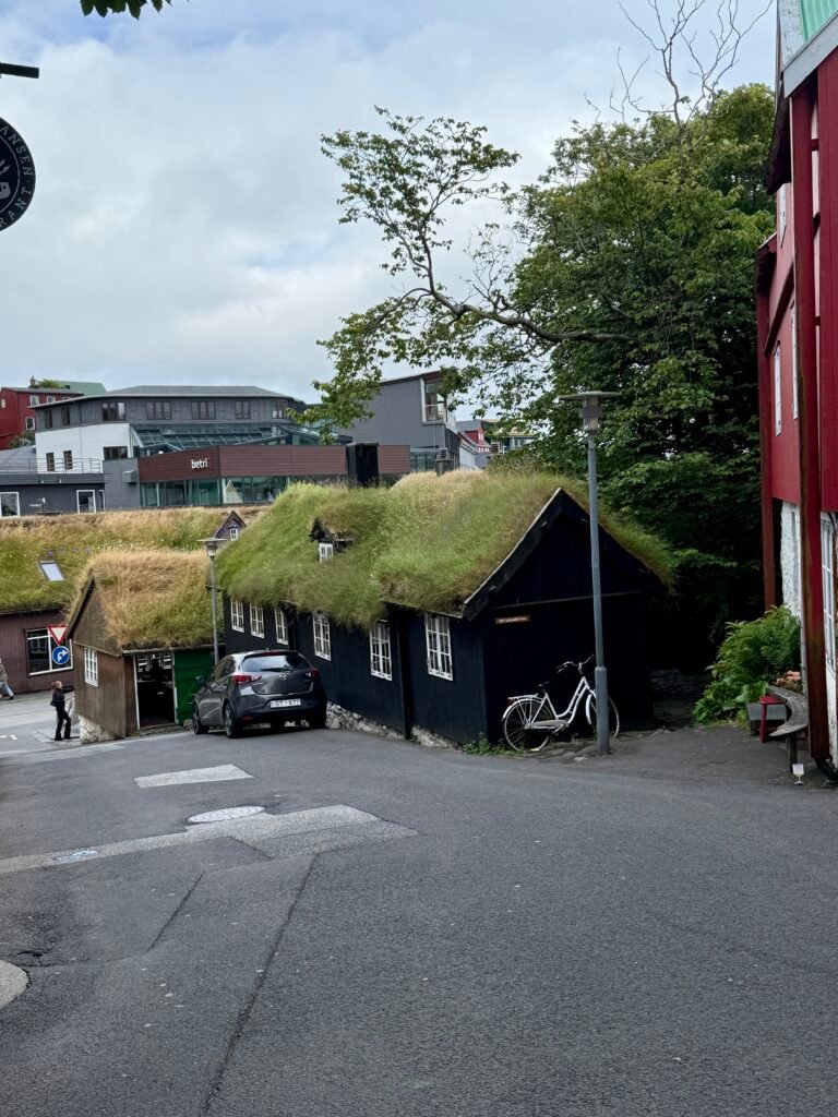
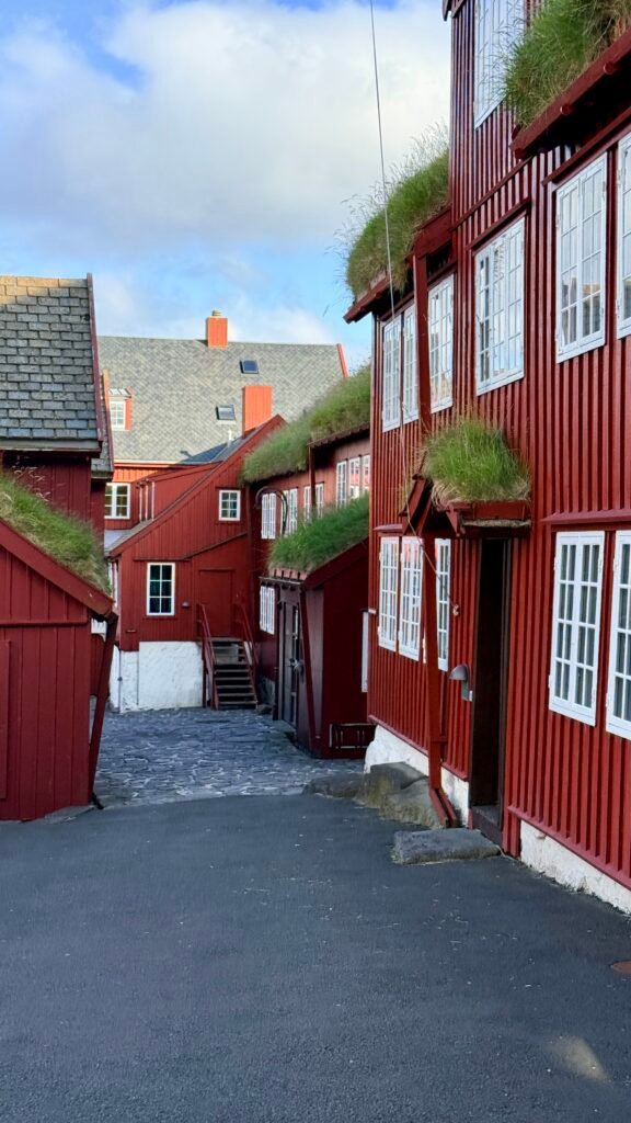
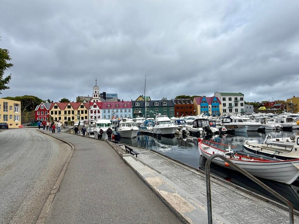
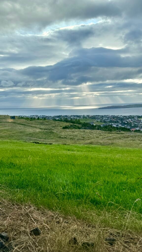
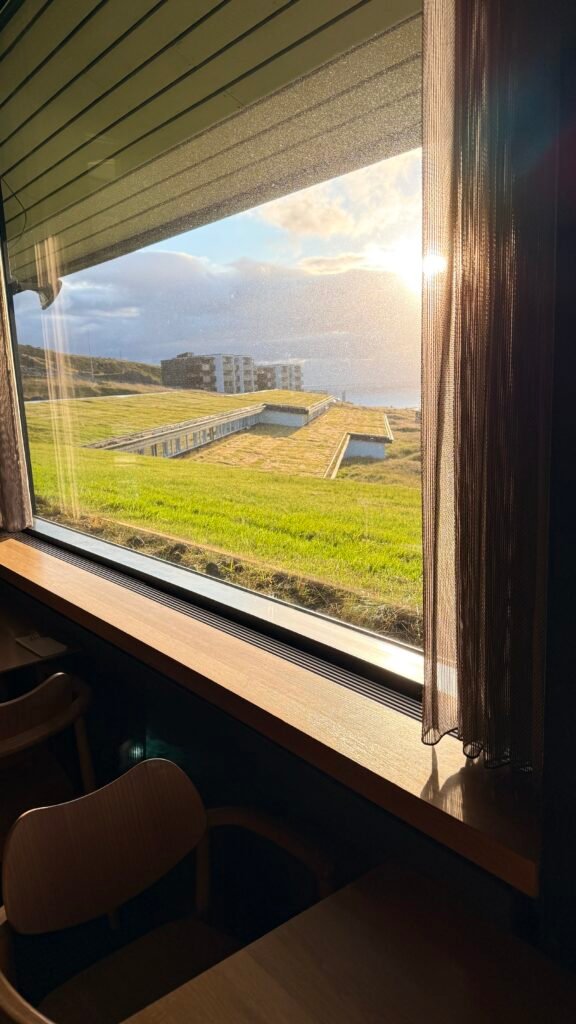
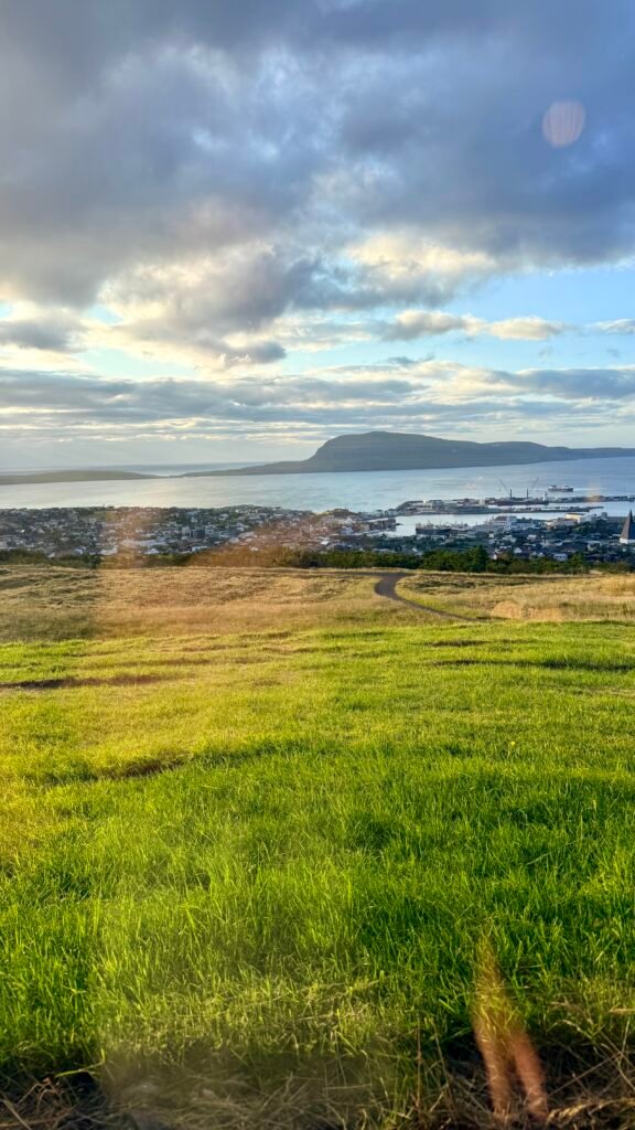
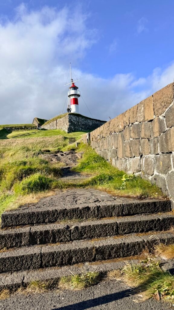
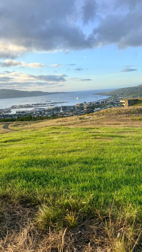
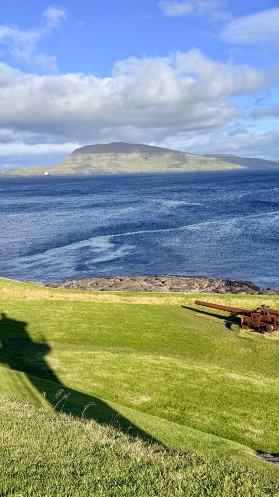
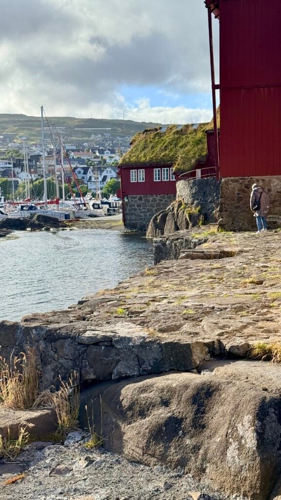
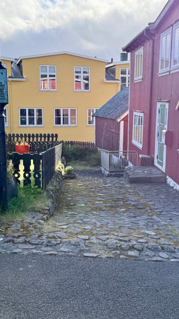
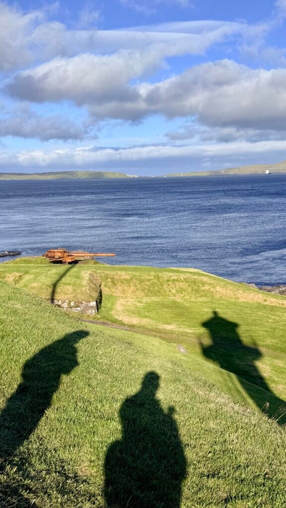
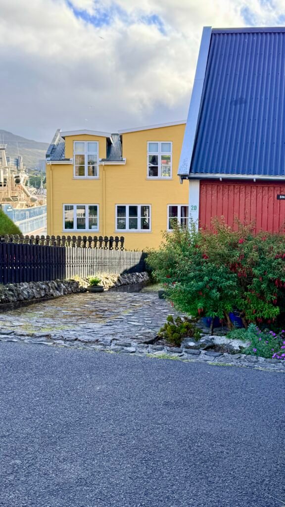
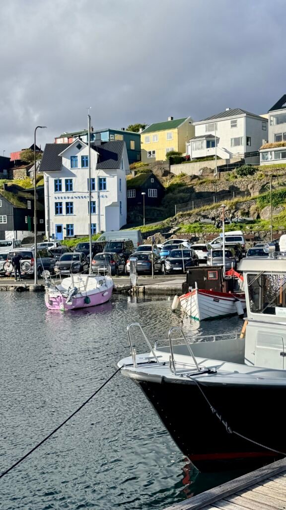
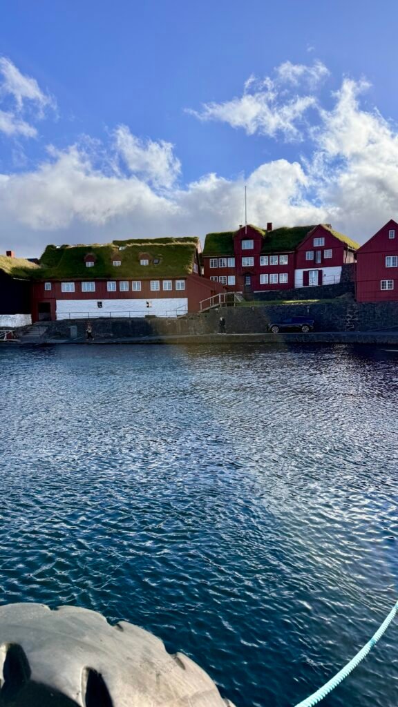
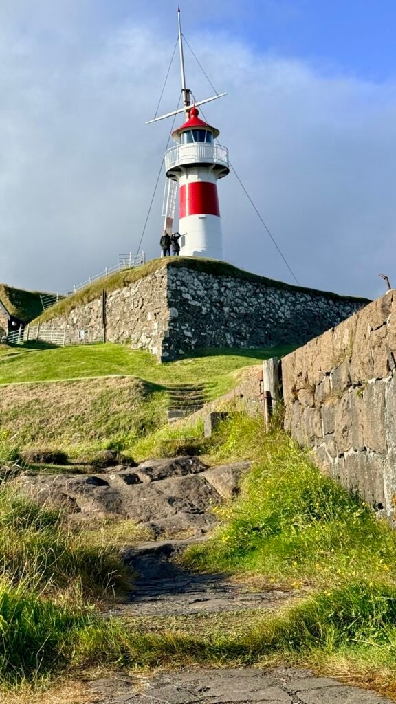
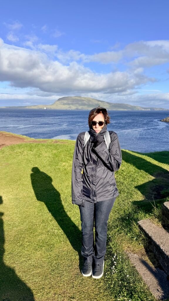
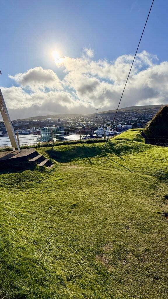
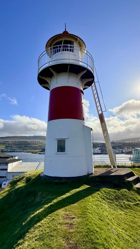
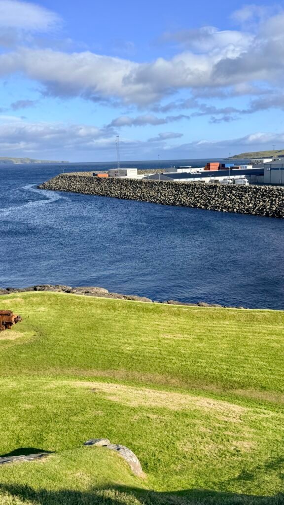
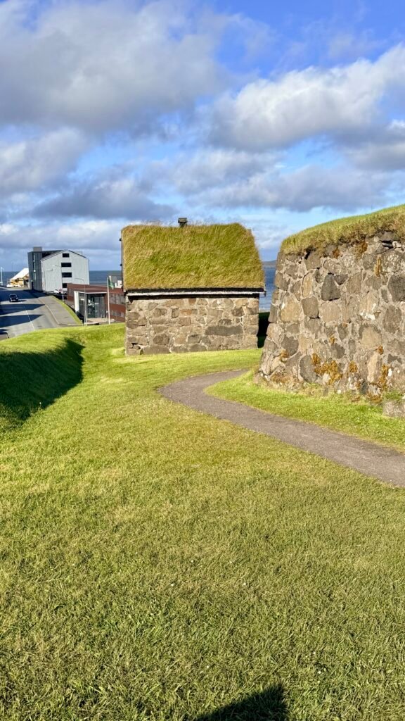
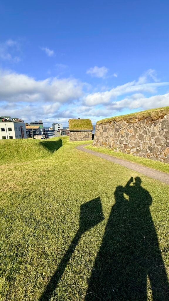
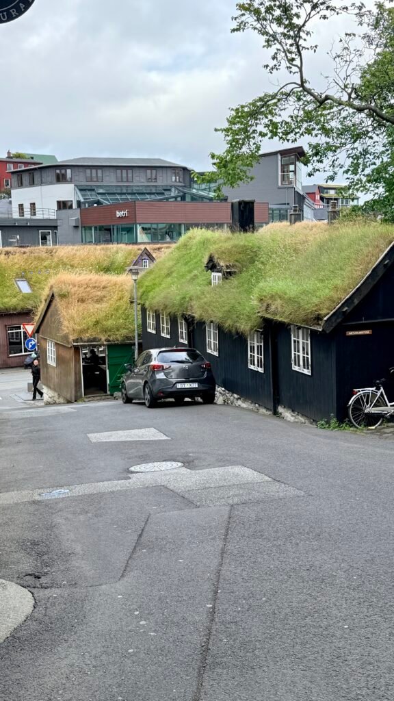
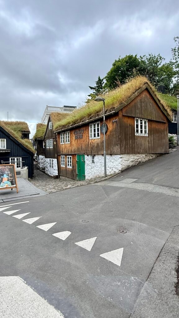
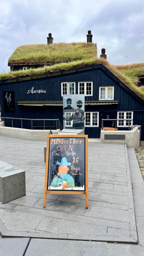
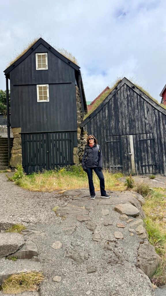
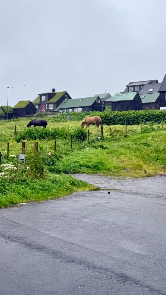
- Tinganes – The historic heart of Tórshavn, with narrow lanes and red wooden buildings with traditional turf roofs. It is one of the town’s highlights.
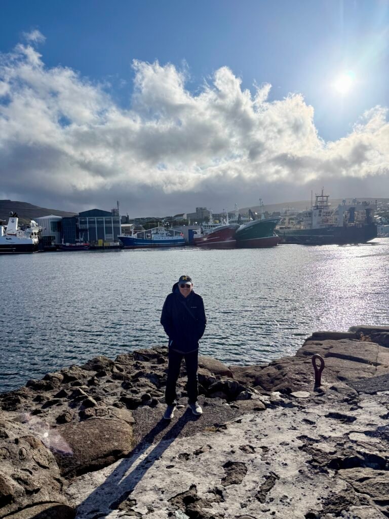
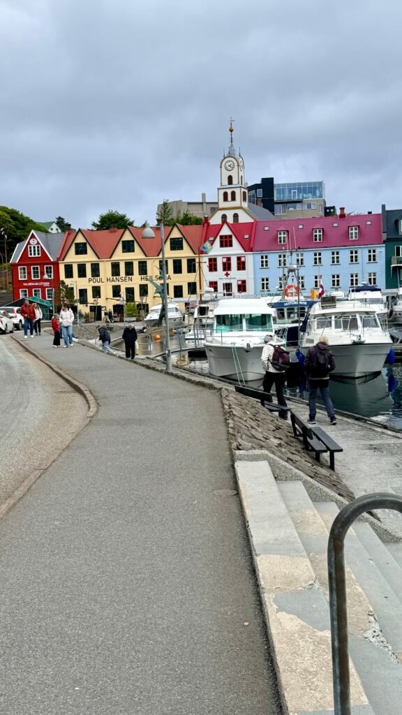
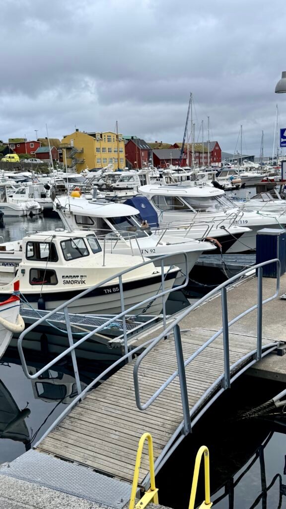
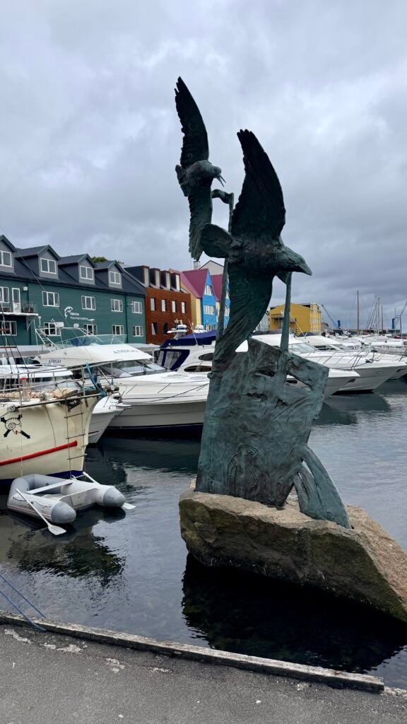
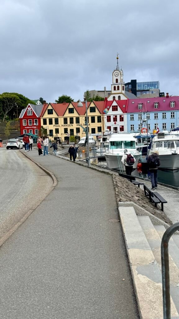
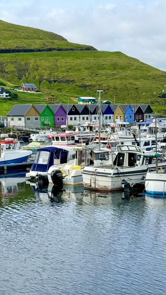
- Vágsbotnur harbor – A pleasant waterfront area with restaurants, cafés, and colorful boats.
- Old Town – Small, atmospheric, and easy to explore on foot.
- Tórshavn Cathedral – A small historic church in the center of town.
- National Museum of the Faroe Islands – Good introduction to Faroese history and culture.
- Viðarlundin Park – Surprisingly lush for such a windswept location and a nice place for a short walk.
Kalsoy Island
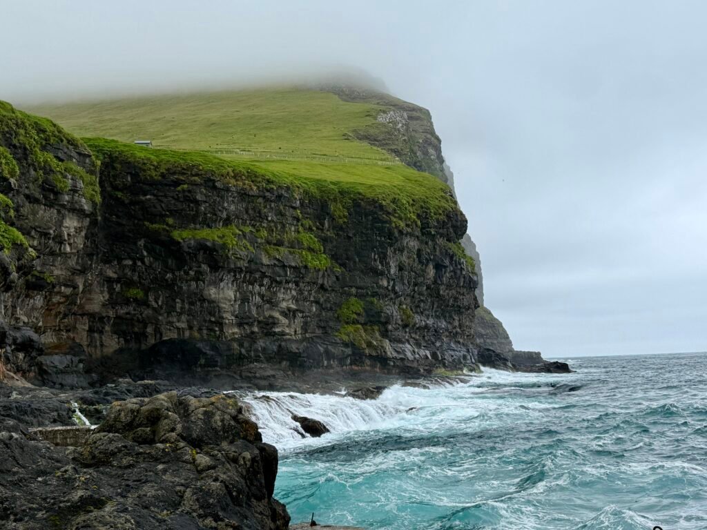
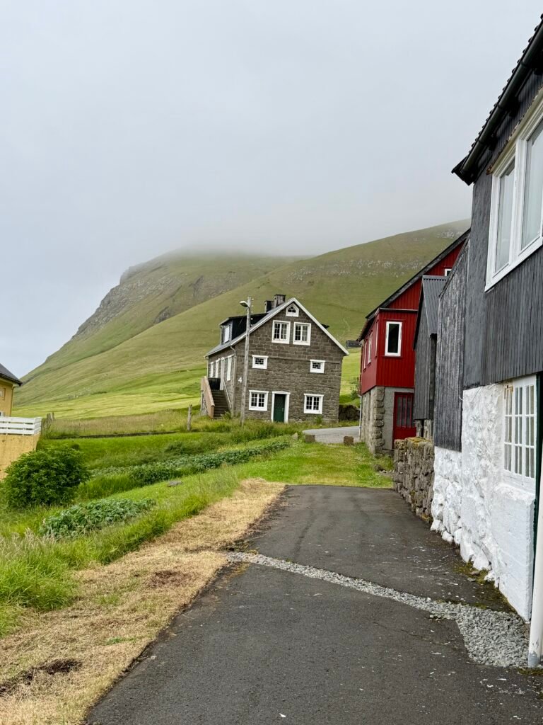
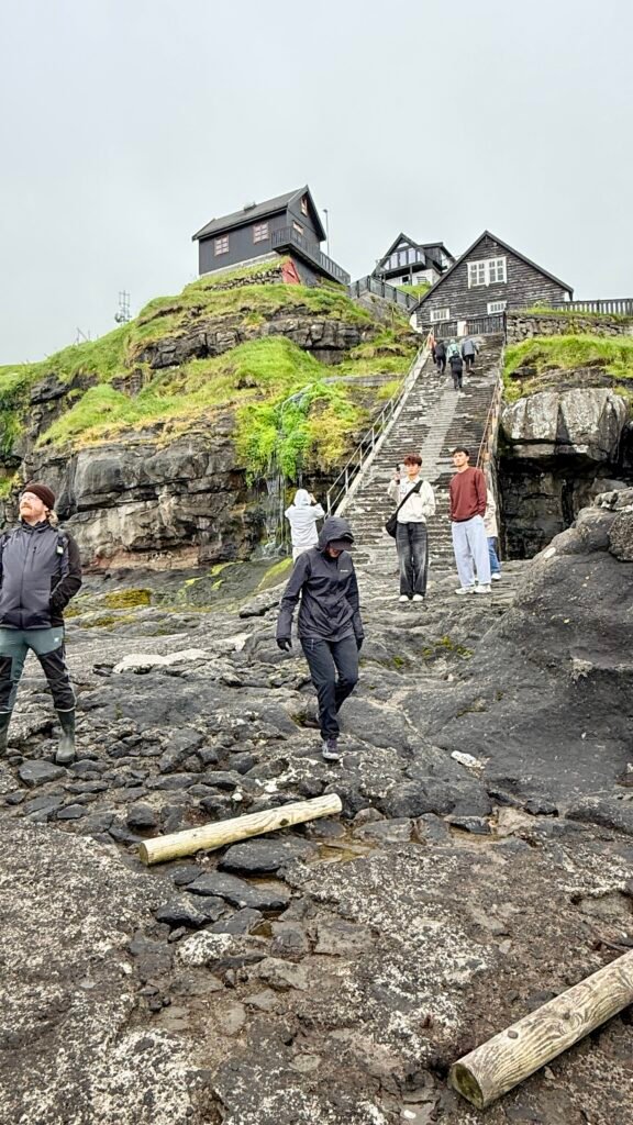
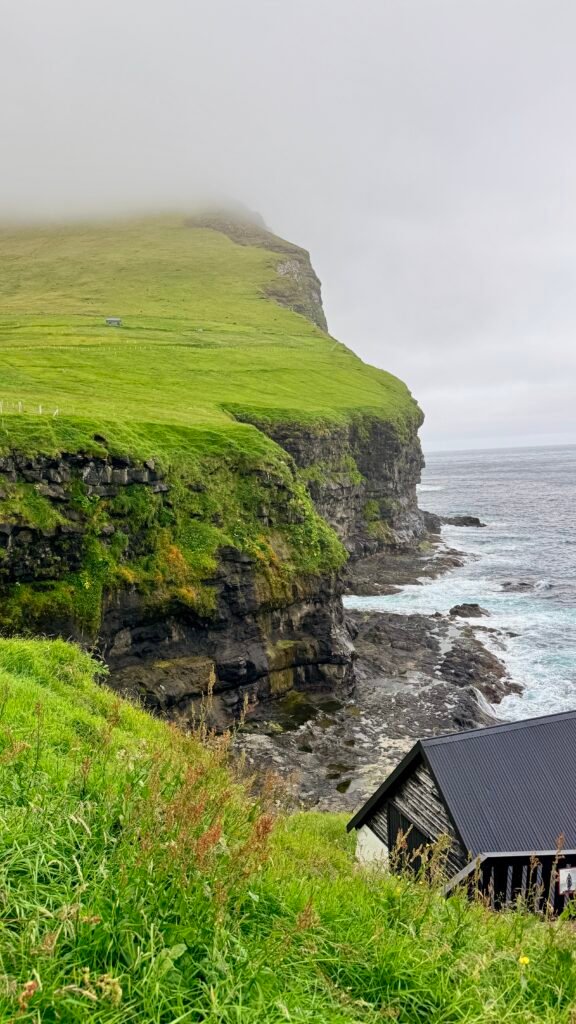
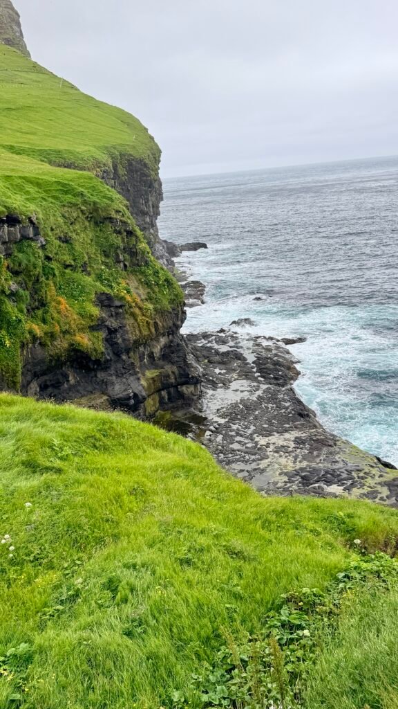
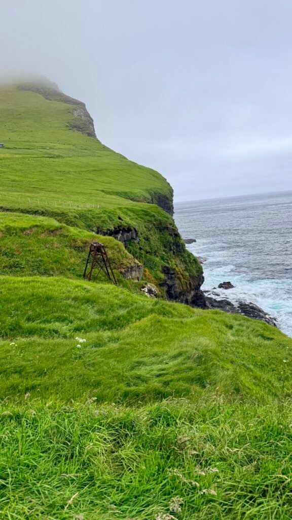
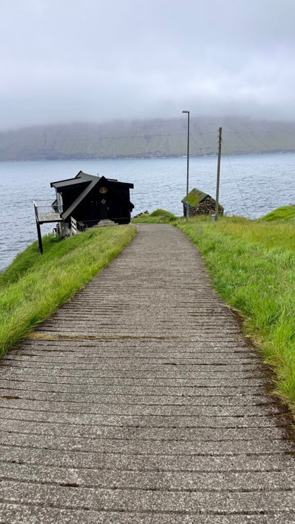
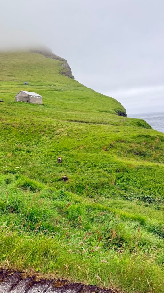
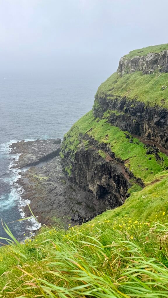
Kalsoy is one of the most spectacular islands in the Faroe Islands and, in my opinion, one of the places you should prioritize. It is a long, narrow island with dramatic mountains, cliffs, tunnels, and tiny villages.
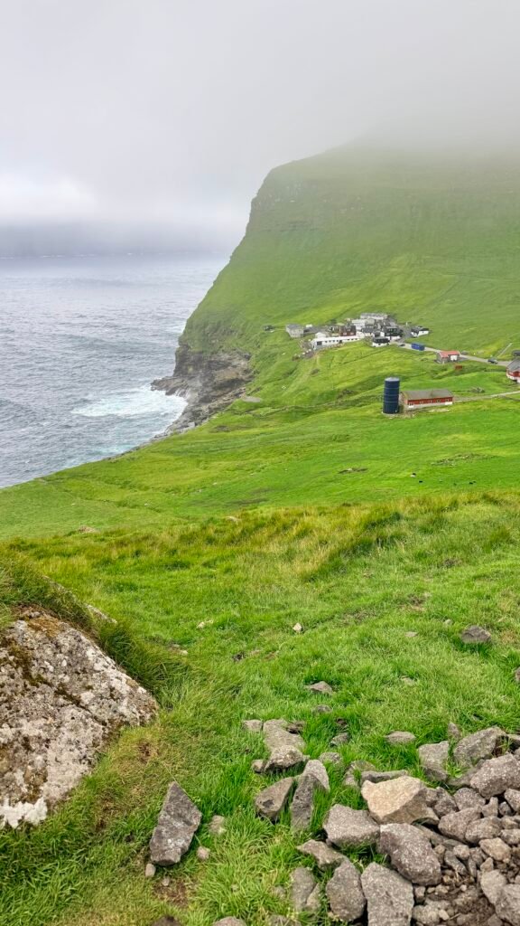
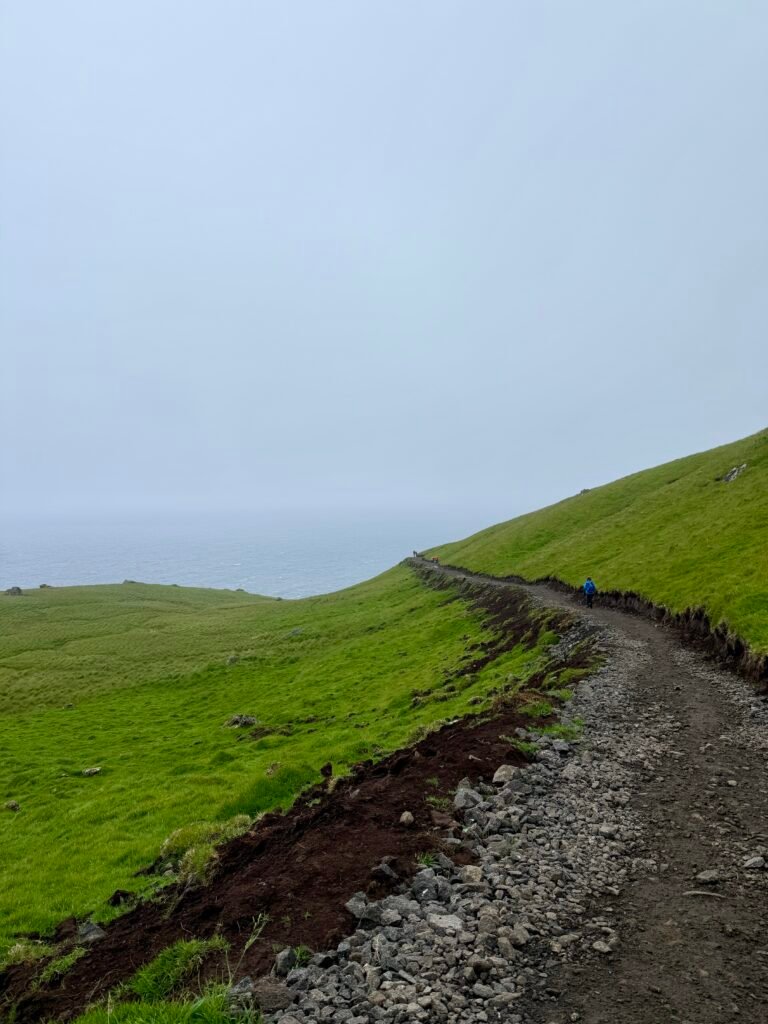
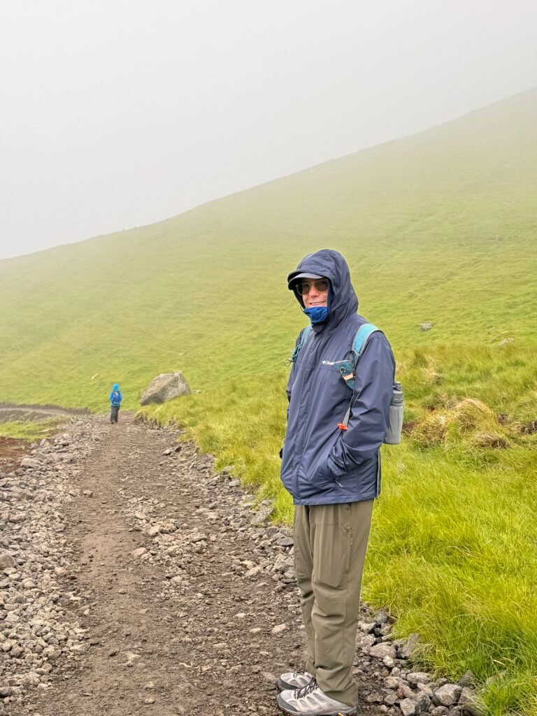
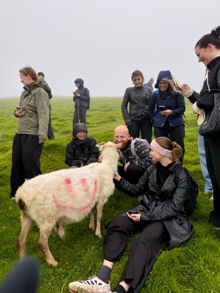
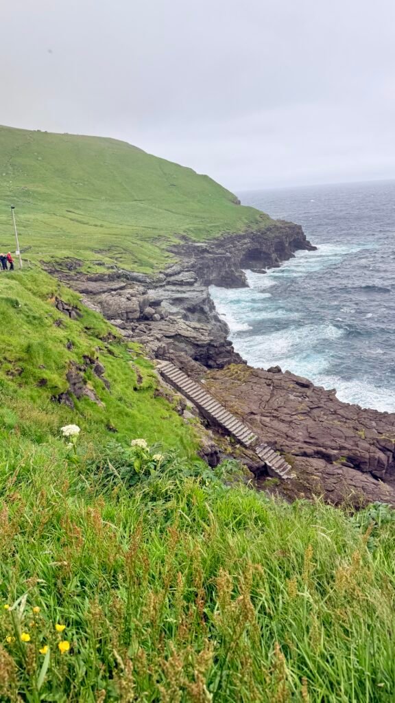
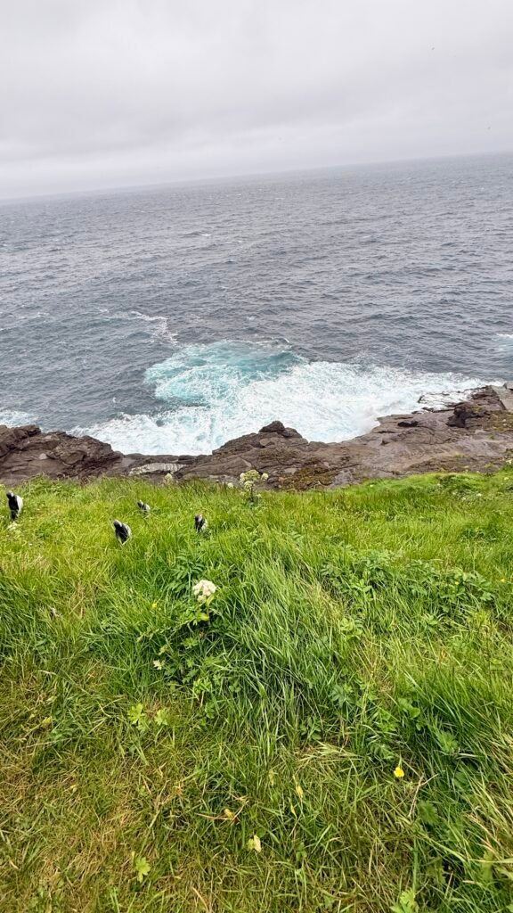
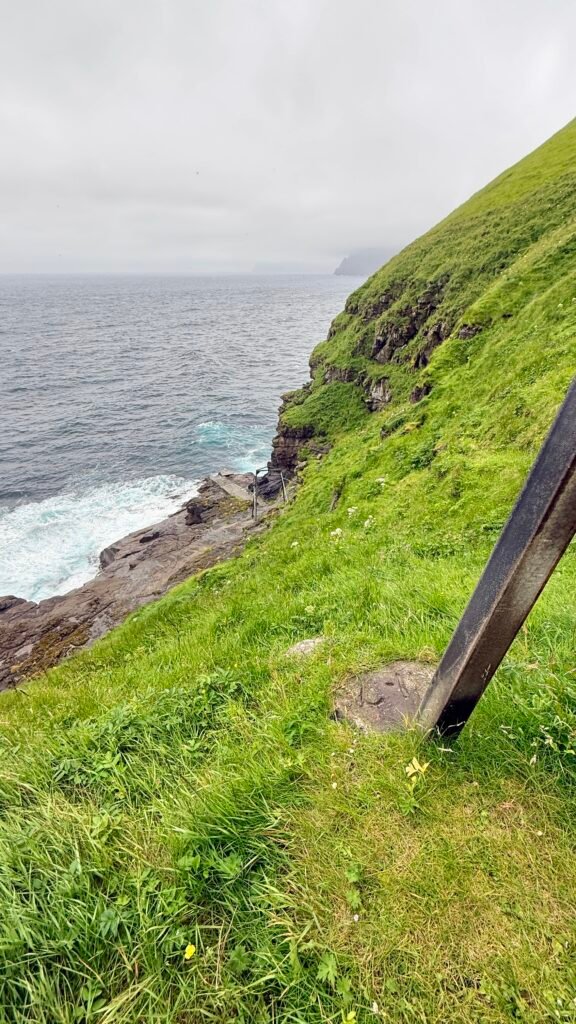
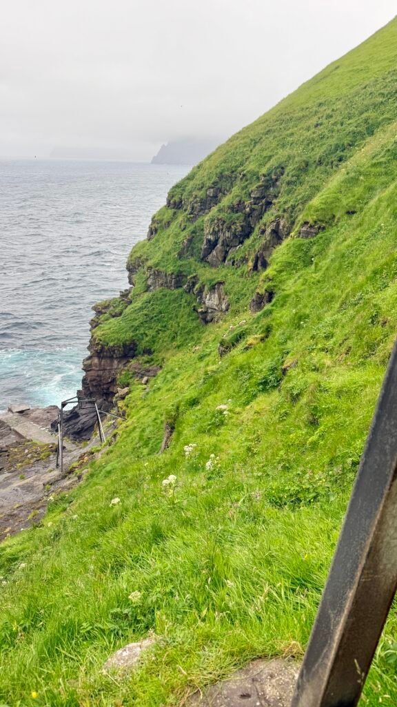
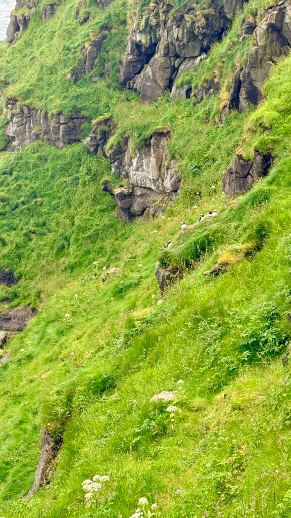
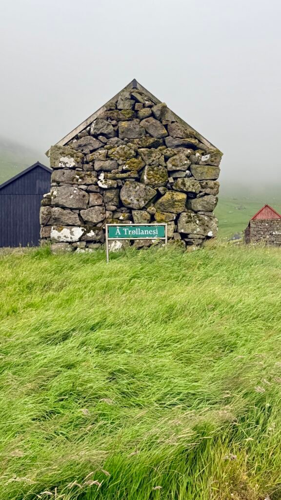
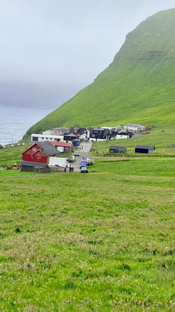
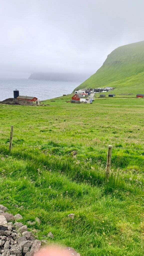
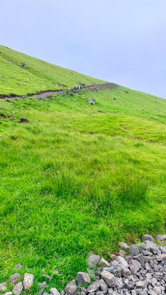
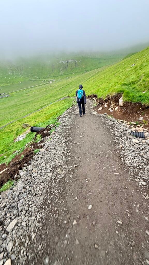
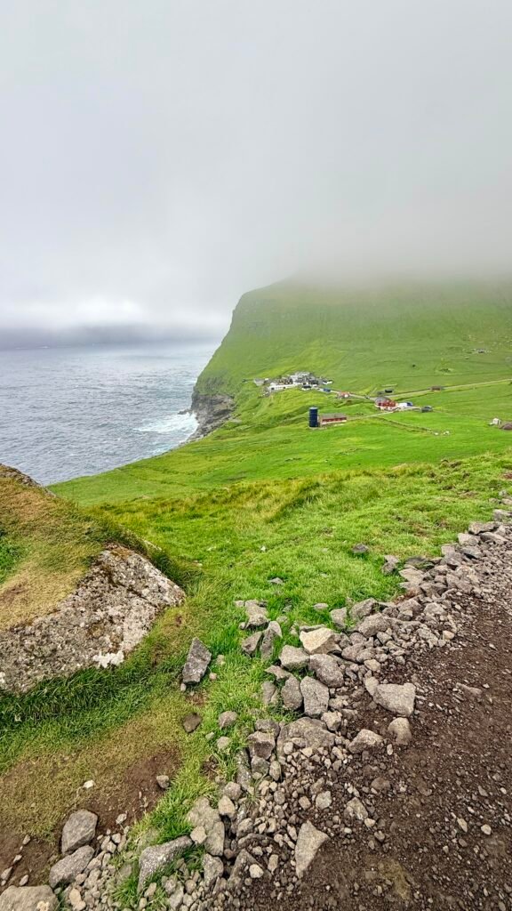
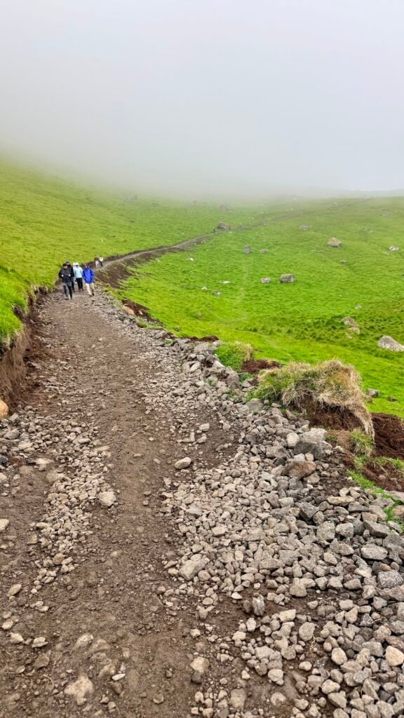
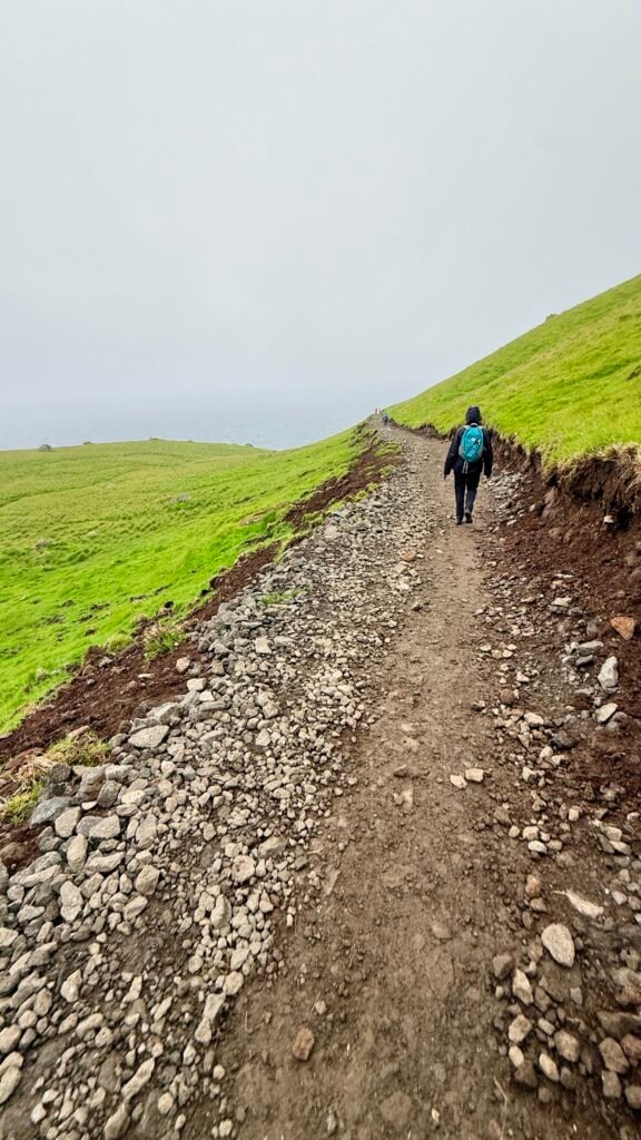

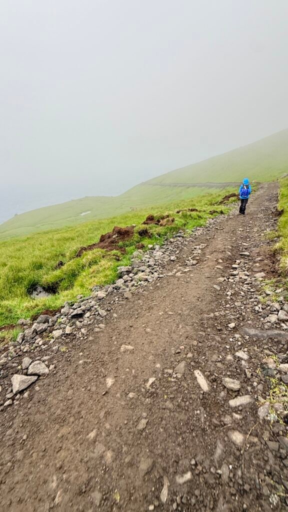
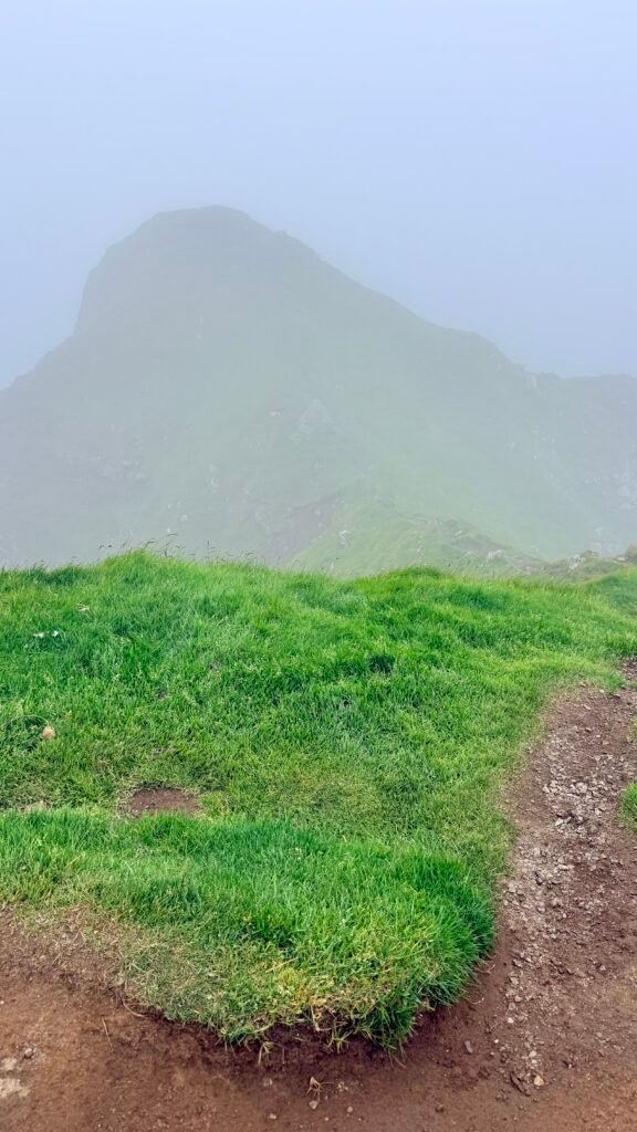
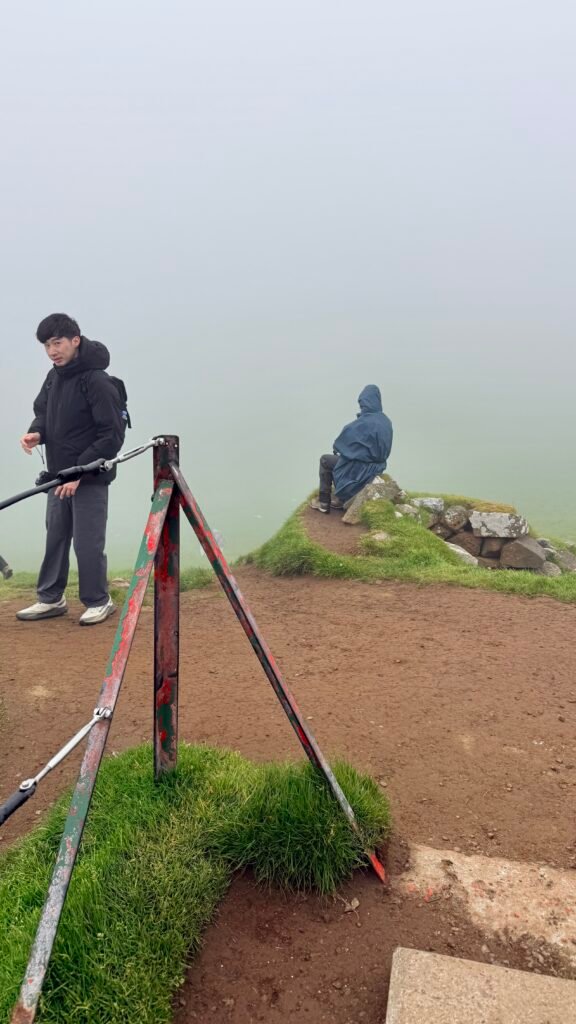
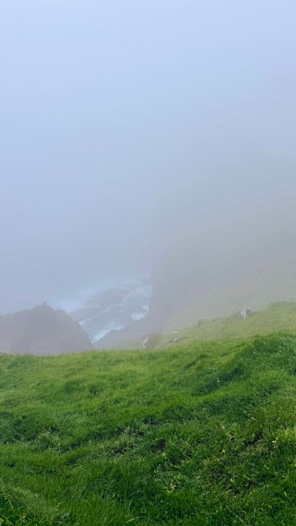
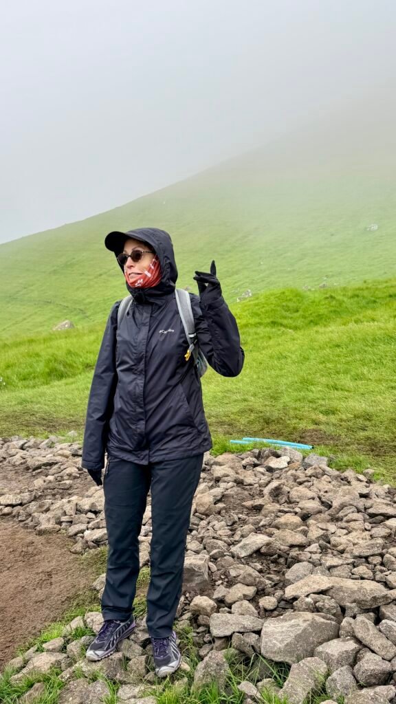
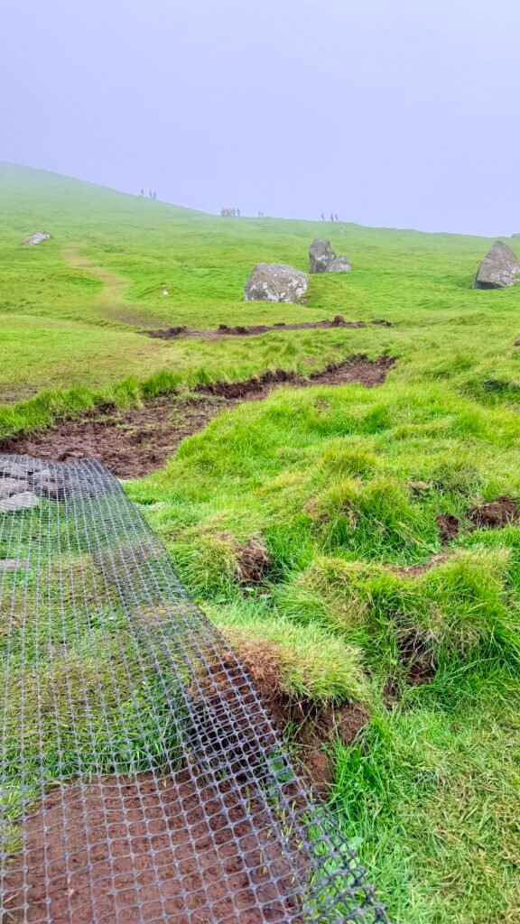
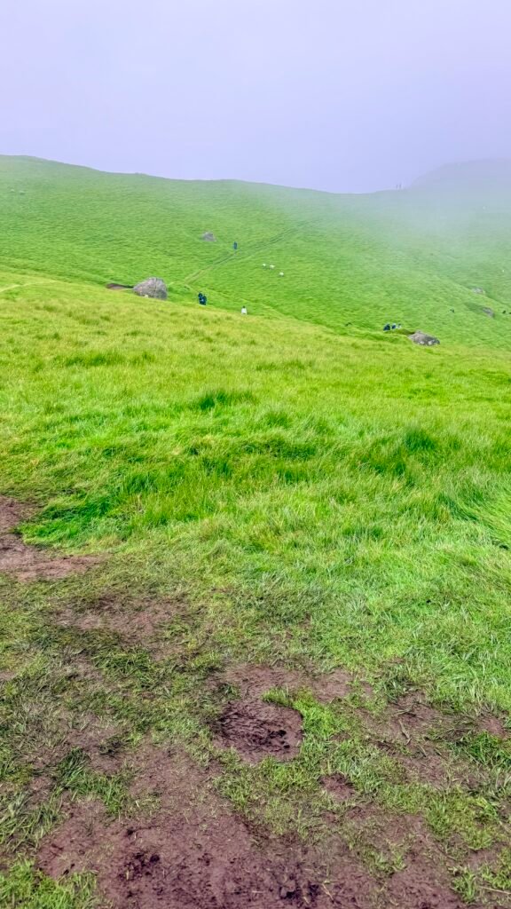
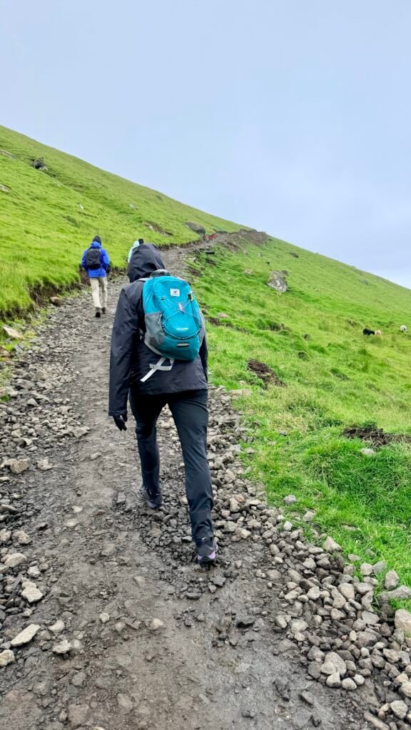
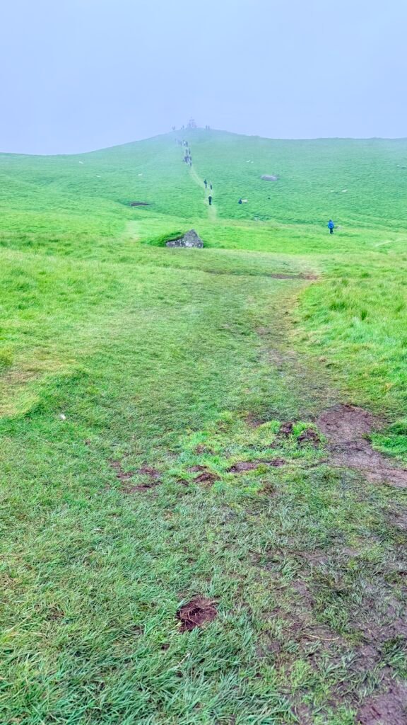
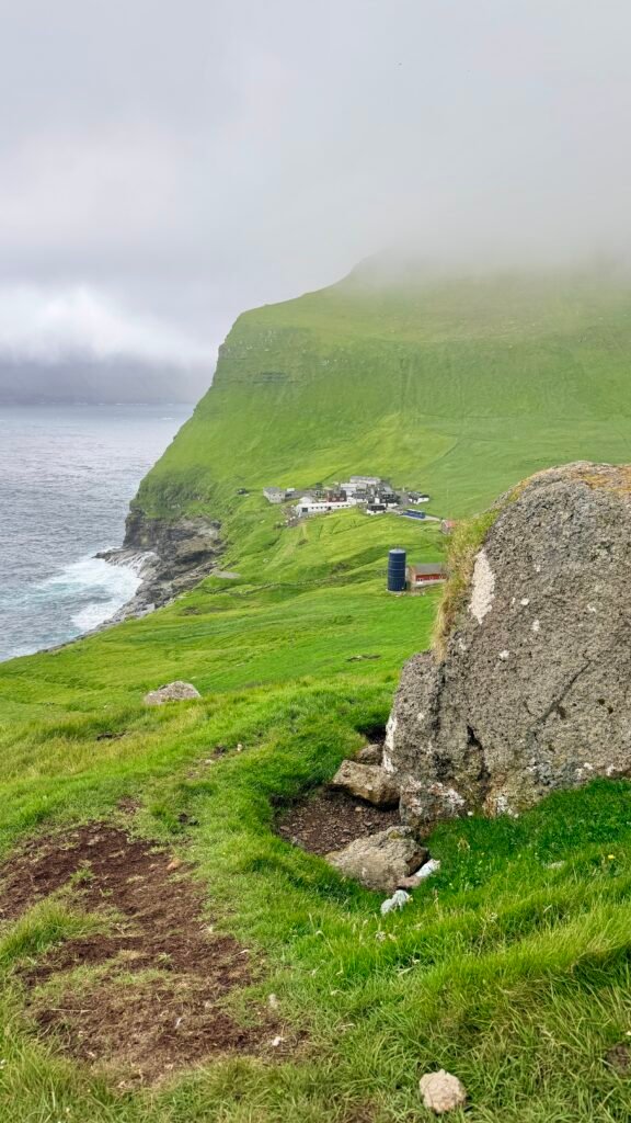
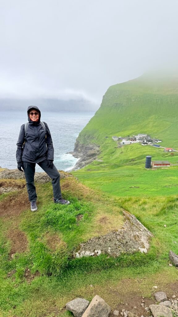
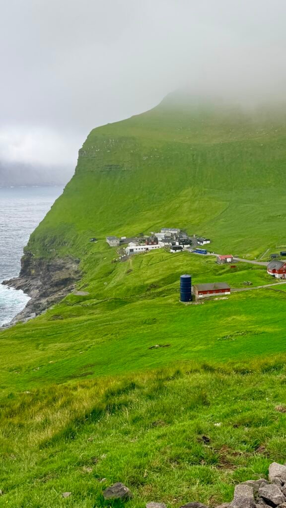
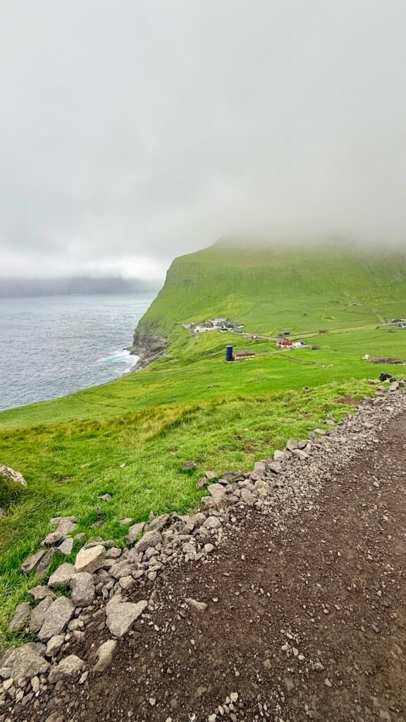
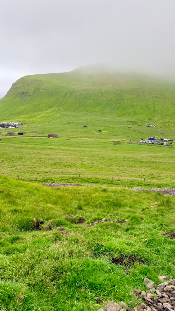
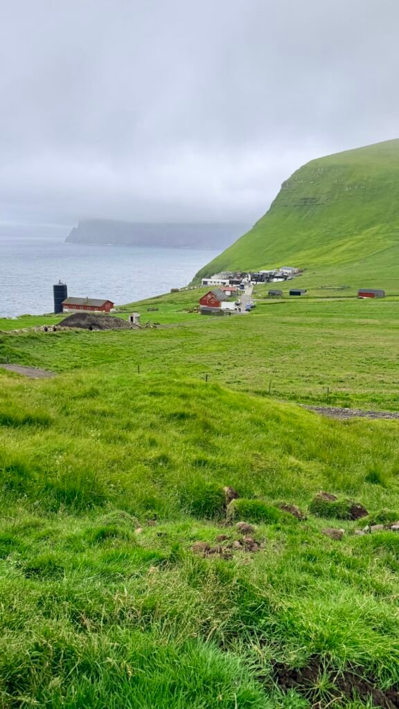
- The hike to Kallur Lighthouse is the big reason to visit Kalsoy.
- The trail starts near Trøllanes, at the northern end of the island.
- You get spectacular views of steep cliffs and the surrounding ocean.
- The famous viewpoint toward the Kallur Lighthouse and sea stacks is particularly impressive.
- The location appeared in the James Bond film No Time to Die.
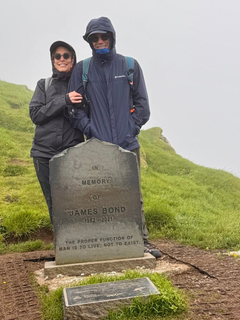
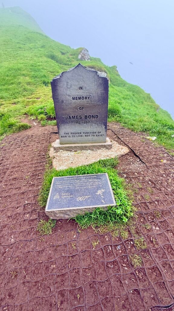
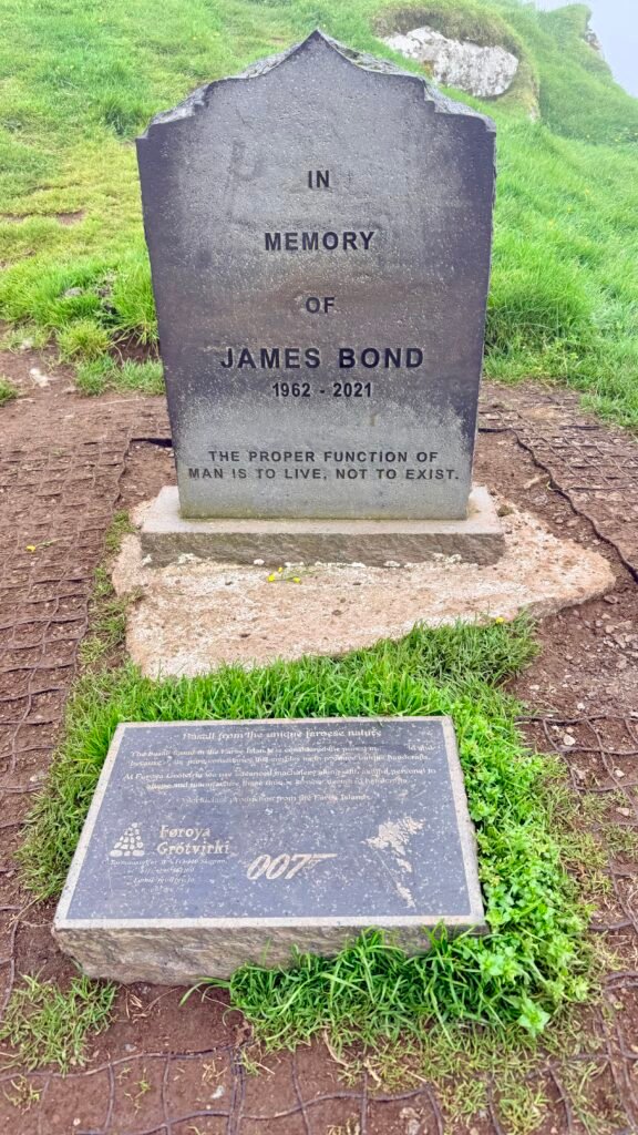
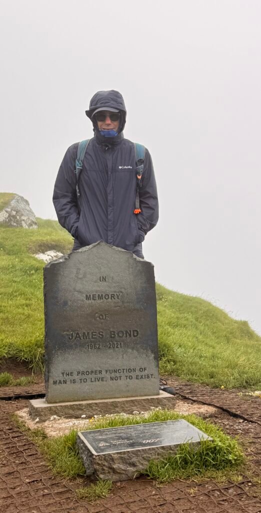
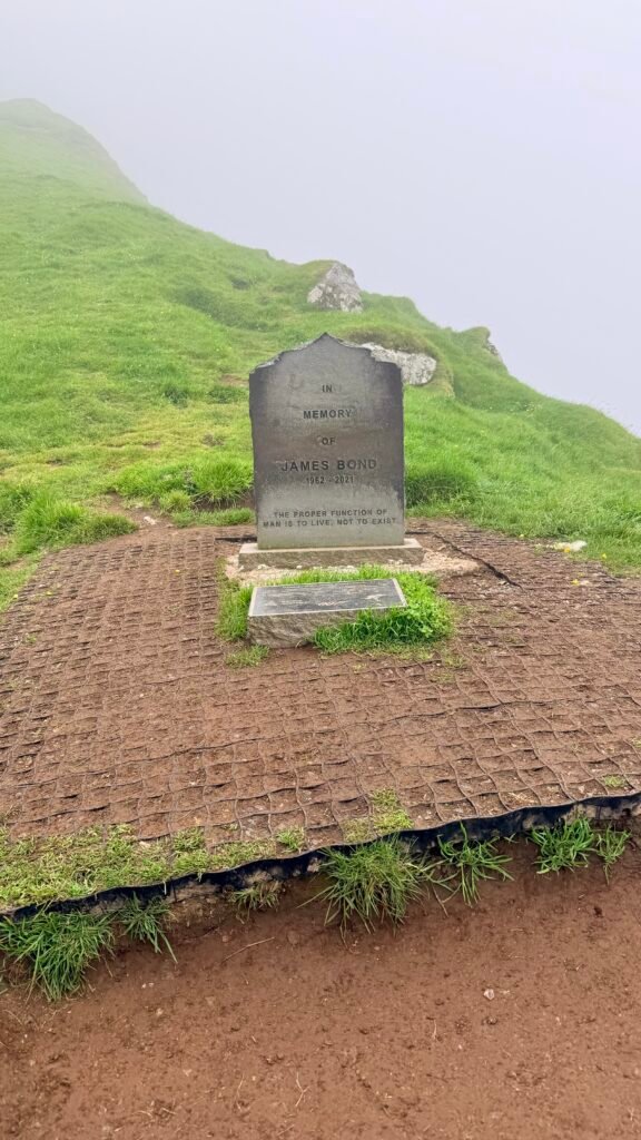
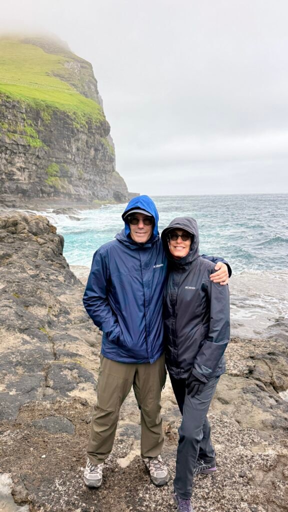
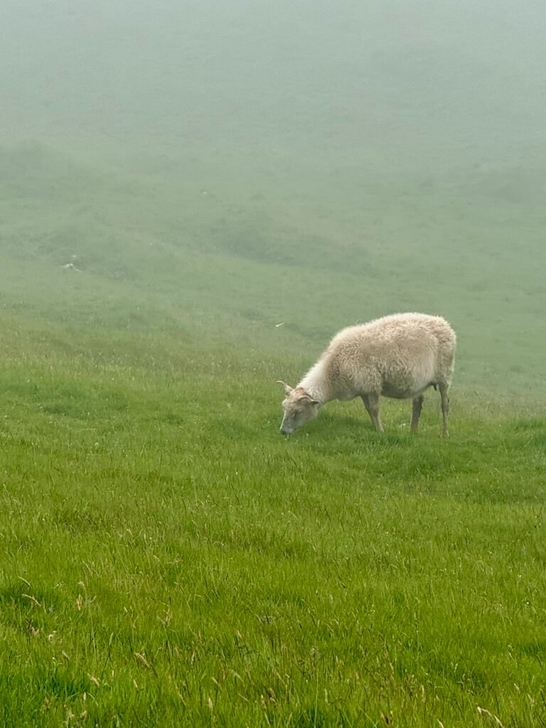
It was foggy when we hiked, so it was difficult to see the lighthouse, but the hike was great.
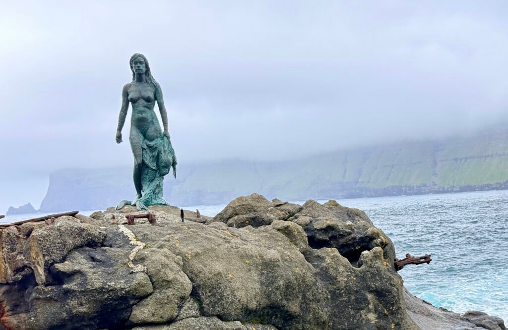
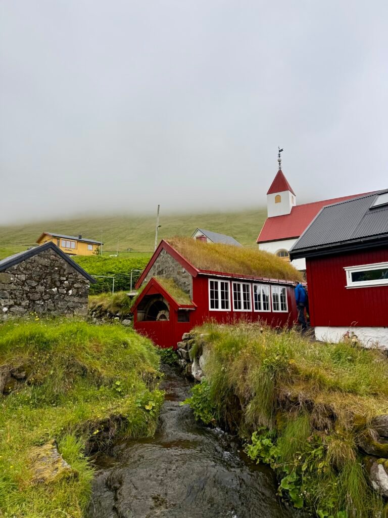
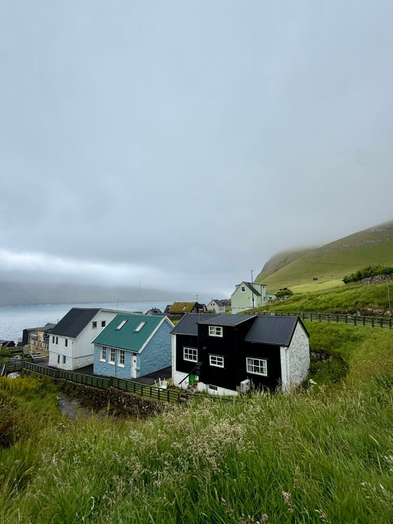
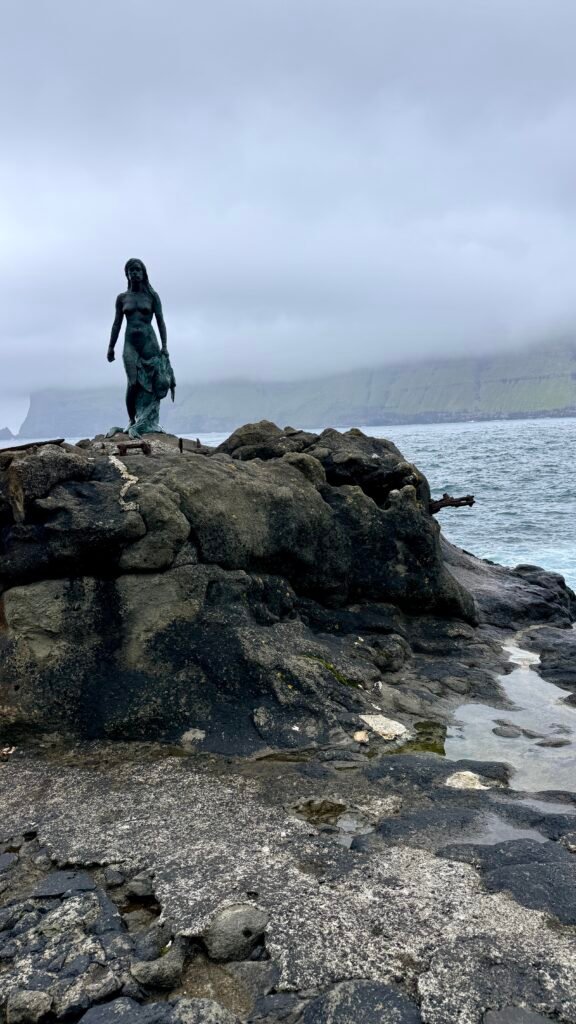
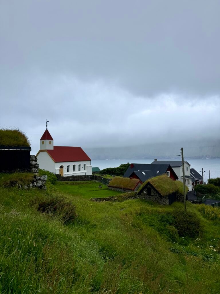
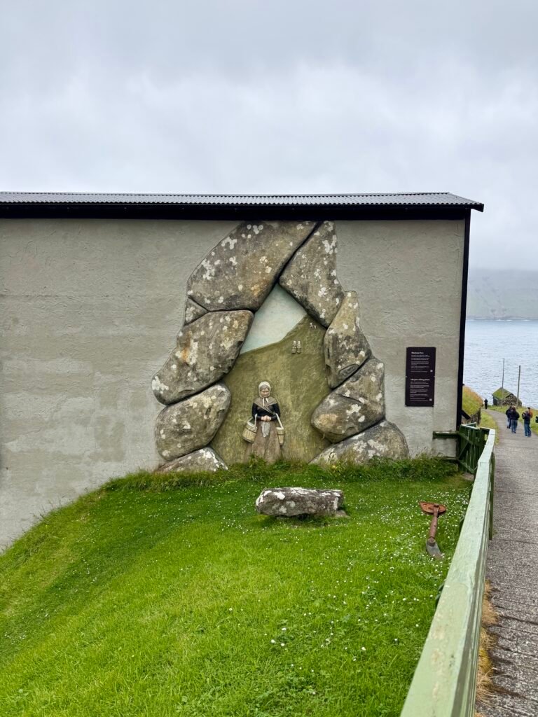
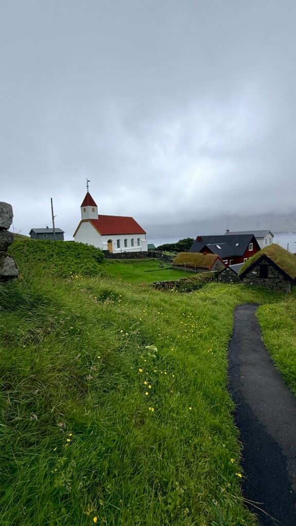
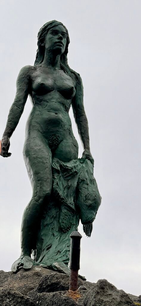
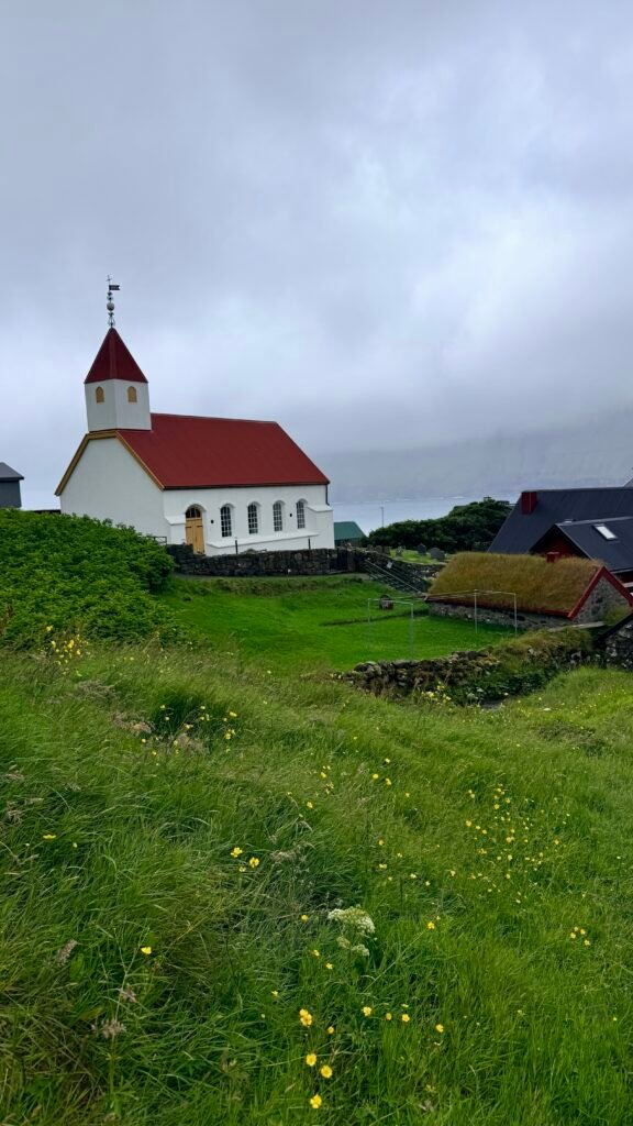
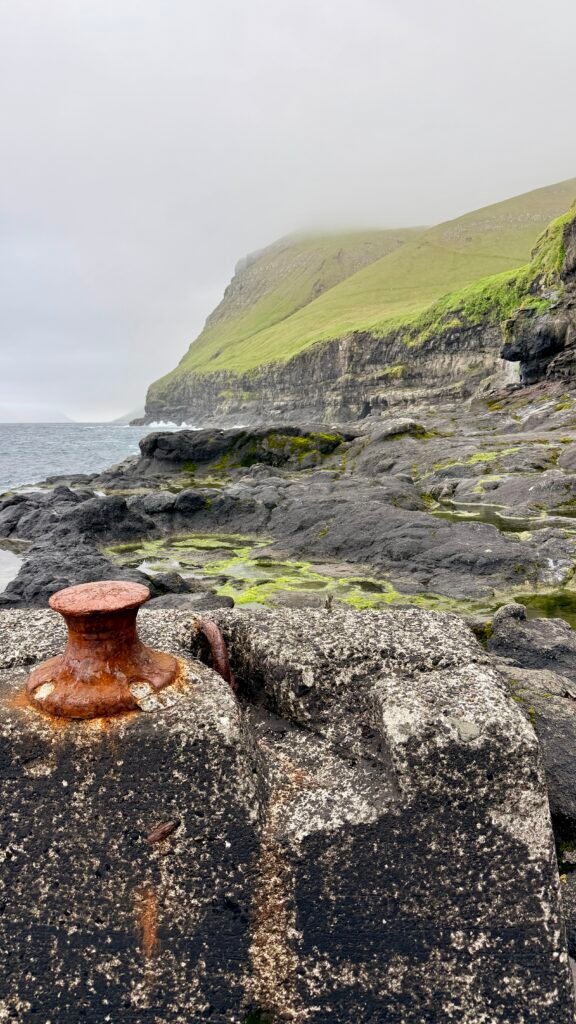
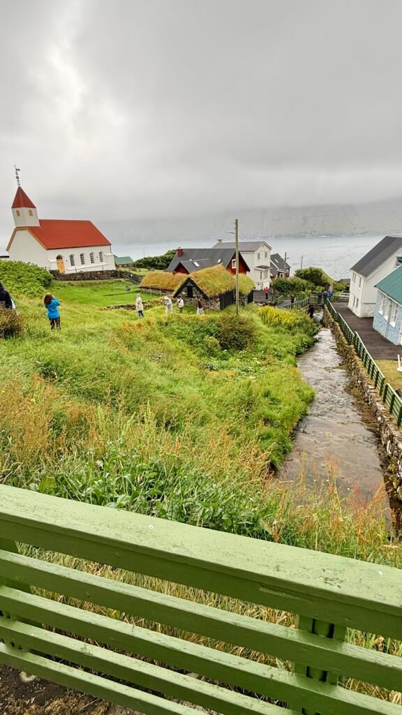
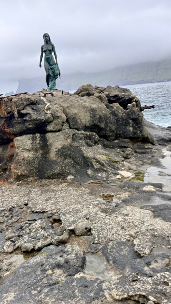
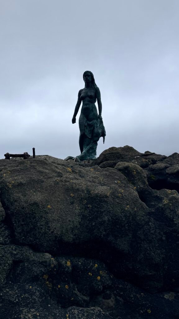
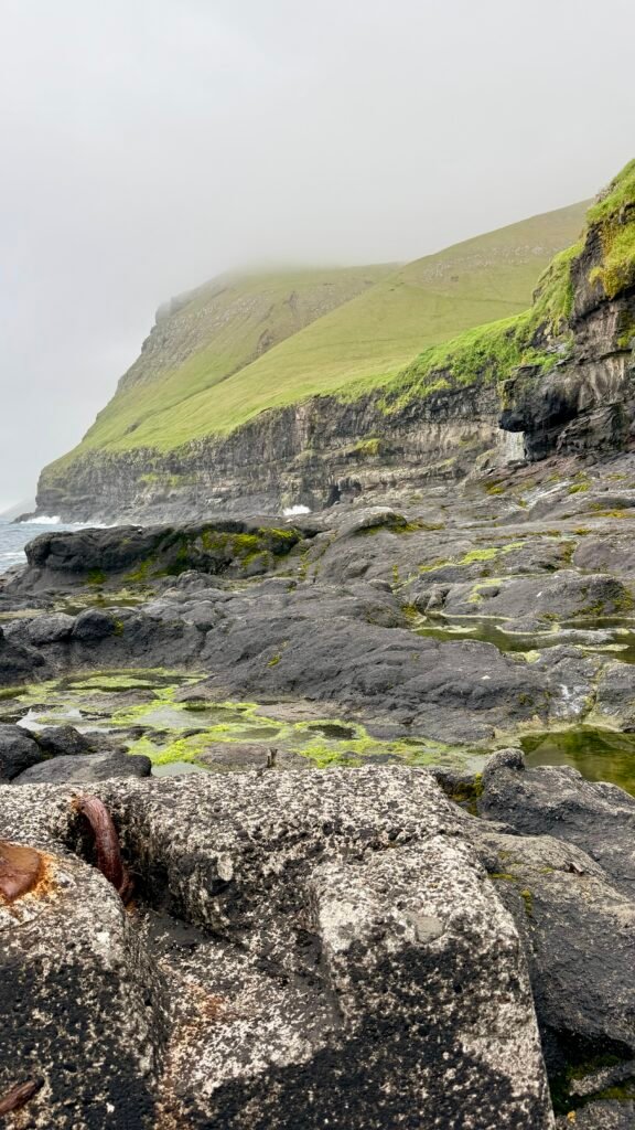
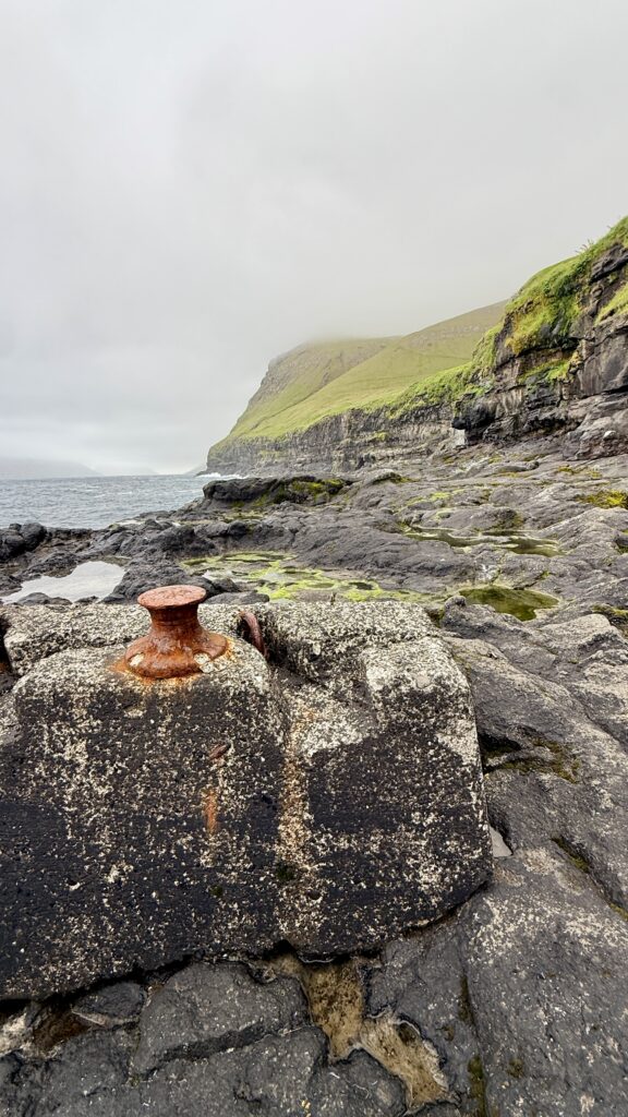
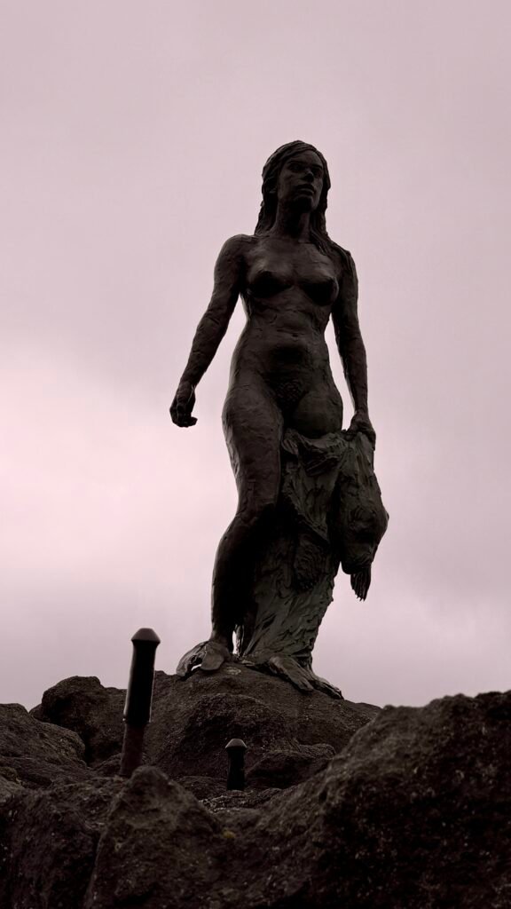
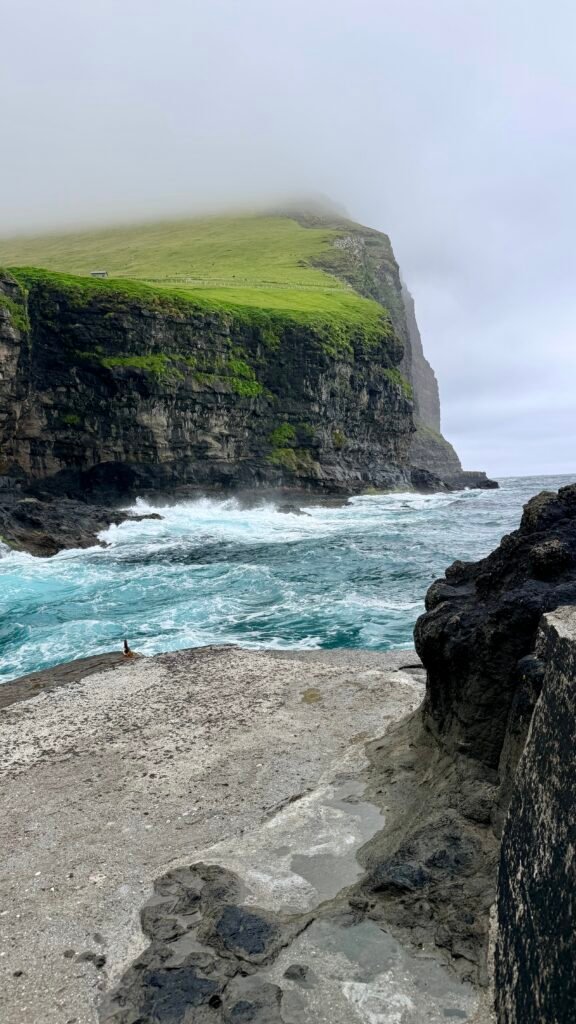
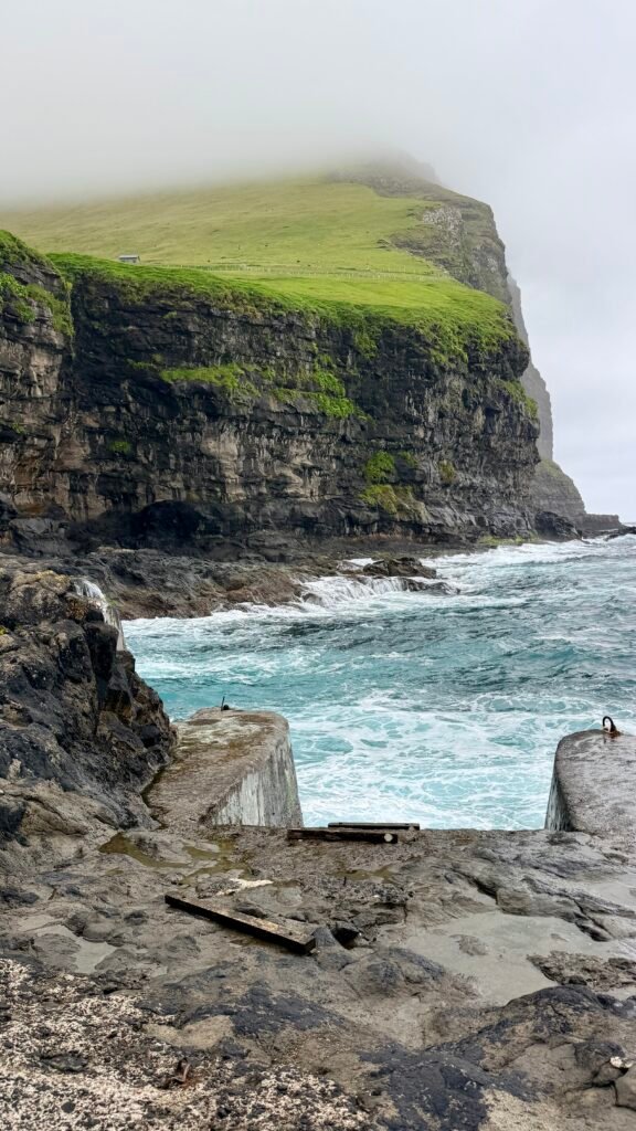
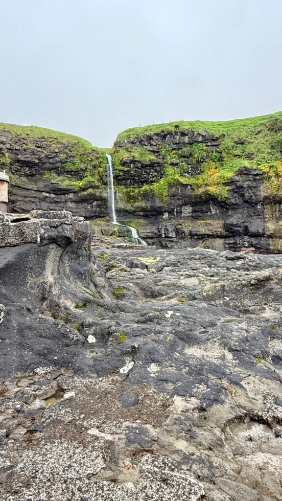
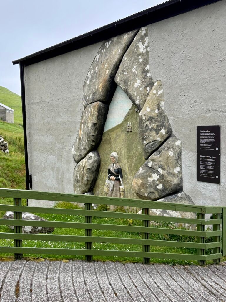
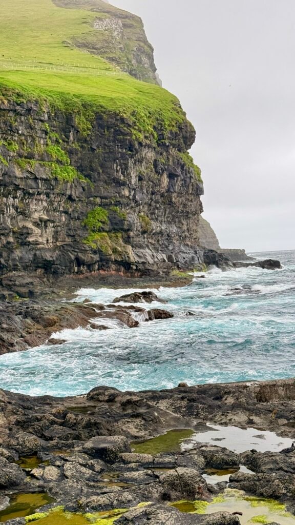
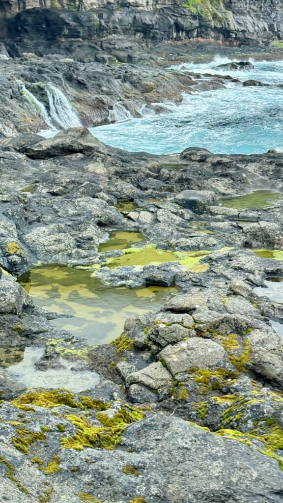
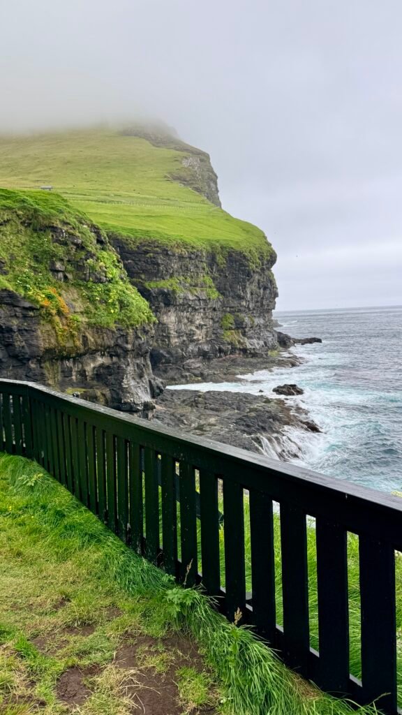
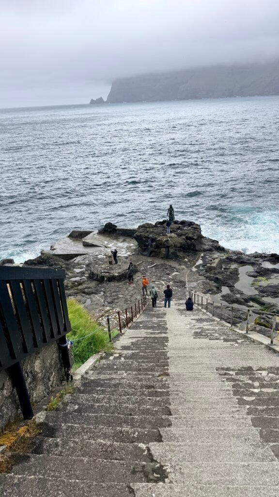
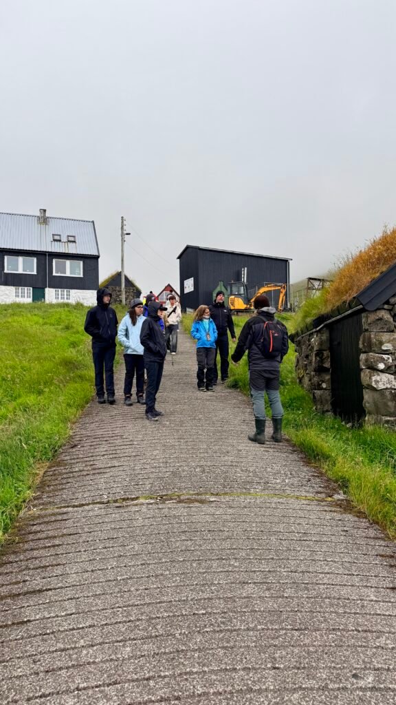
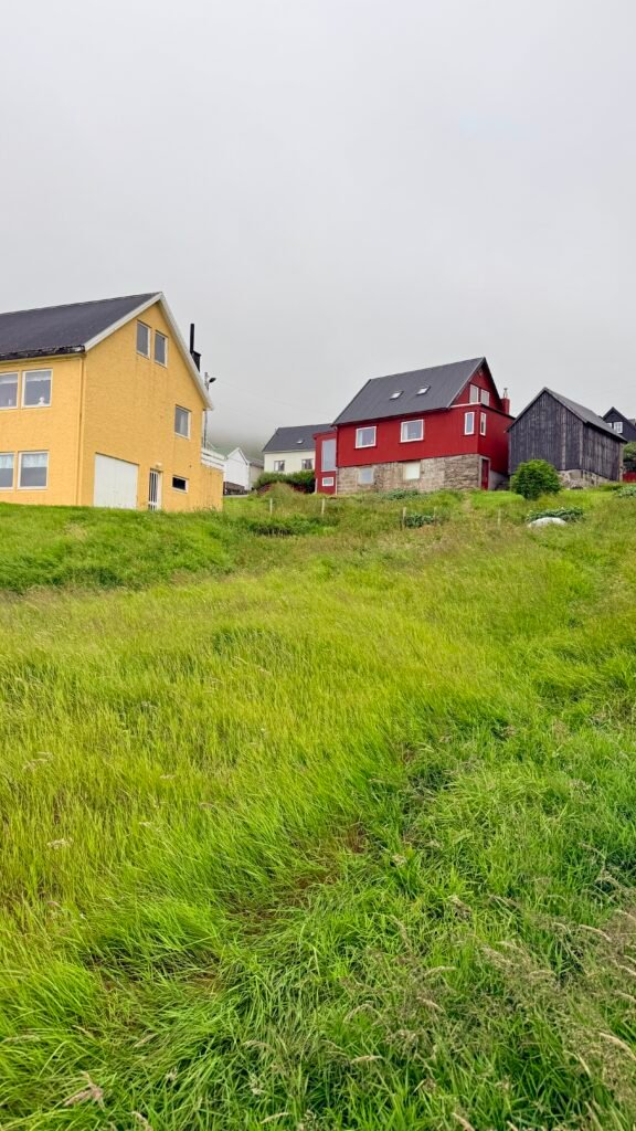
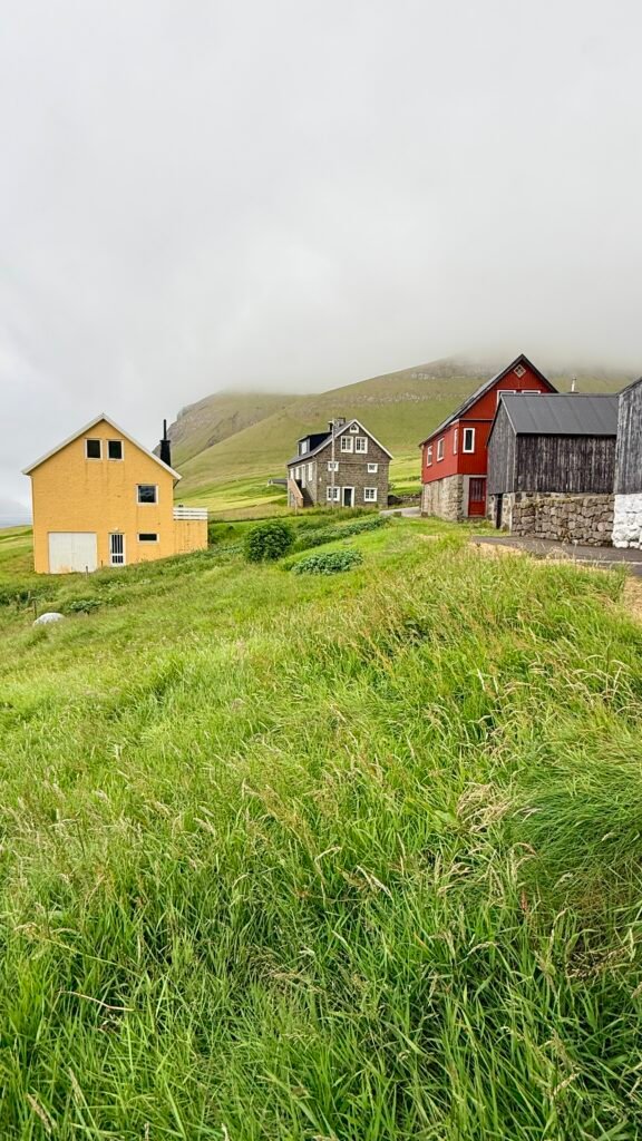
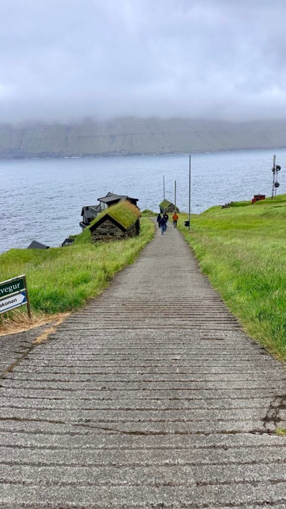
The other village worth seeing is Mikladalur, famous for the Kópakonan (Seal Woman) statue overlooking the ocean. It comes from one of the Faroes’ best-known legends.
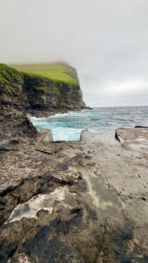
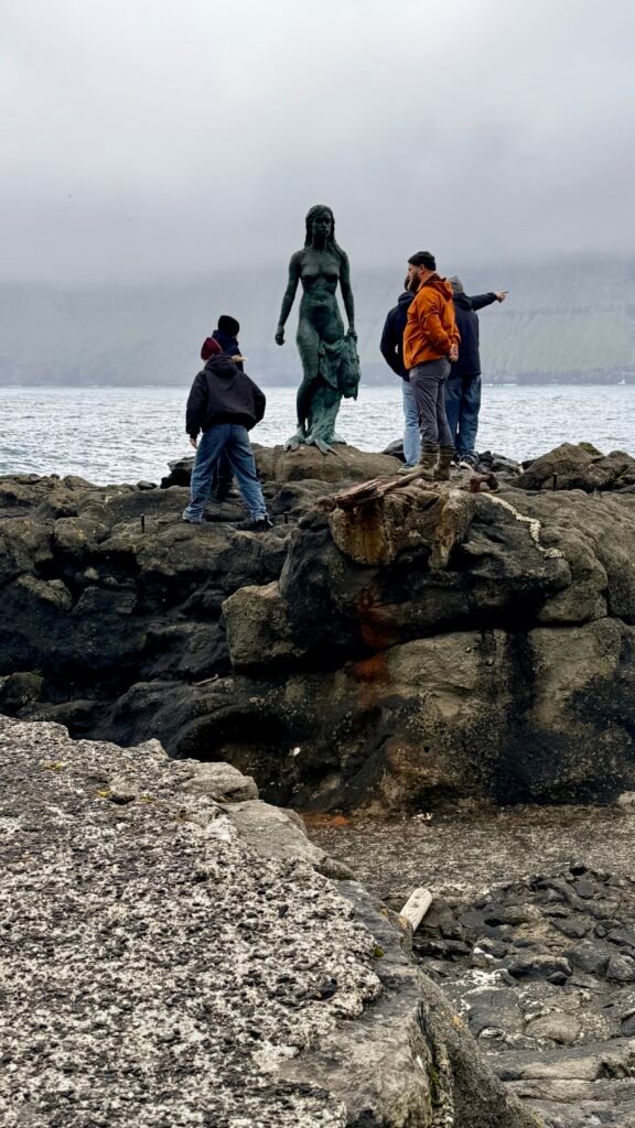
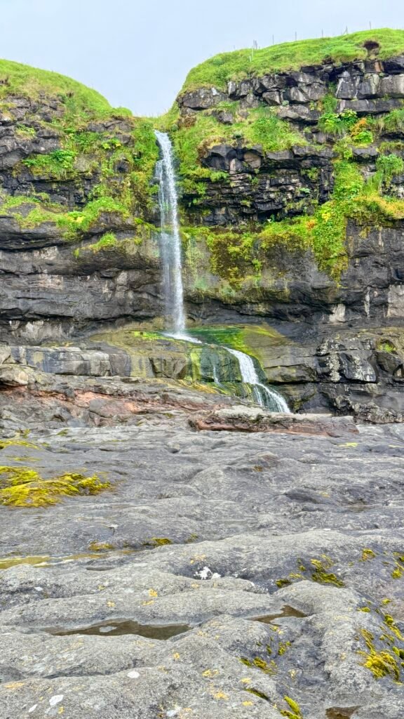
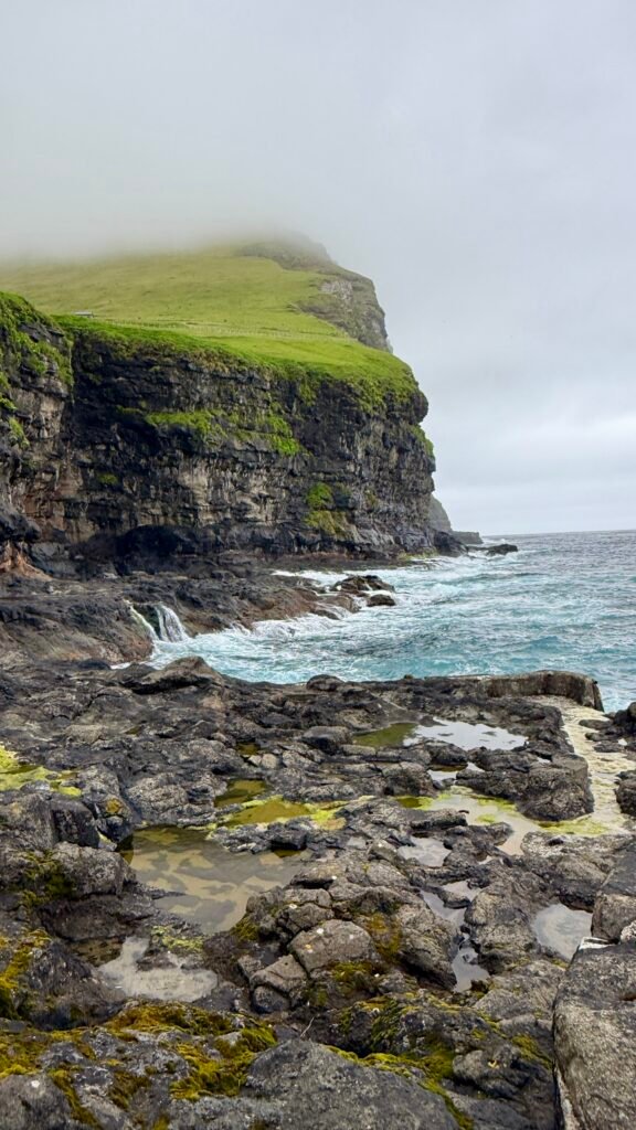
Getting there requires a little more planning:
- Drive to Klaksvík.
- Take the ferry from Klaksvík to Syðradalur on Kalsoy.
- From Syðradalur, drive or take a bus/taxi toward Mikladalur and Trøllanes.
- Hike to Kallur Lighthouse.
- We took a tour which made the parking, the ferry and everything else easier.
The ferry carries vehicles, but reservations/timing can be important, especially in summer.
Streymoy Island
Streymoy is the largest and most populated island in the Faroe Islands and is where Tórshavn is located. It’s one of the best islands to explore because several major sights are relatively close together.
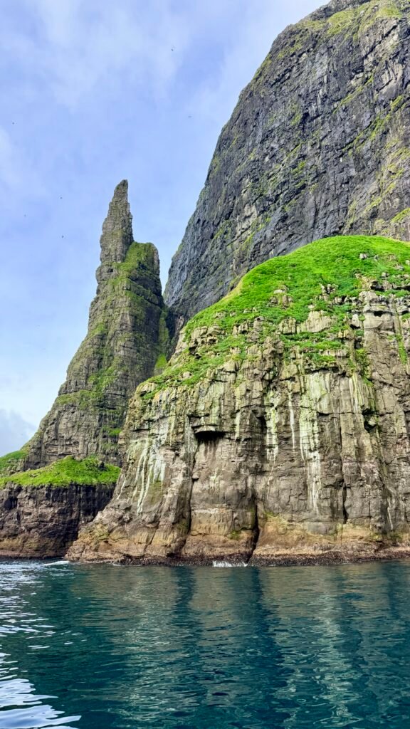
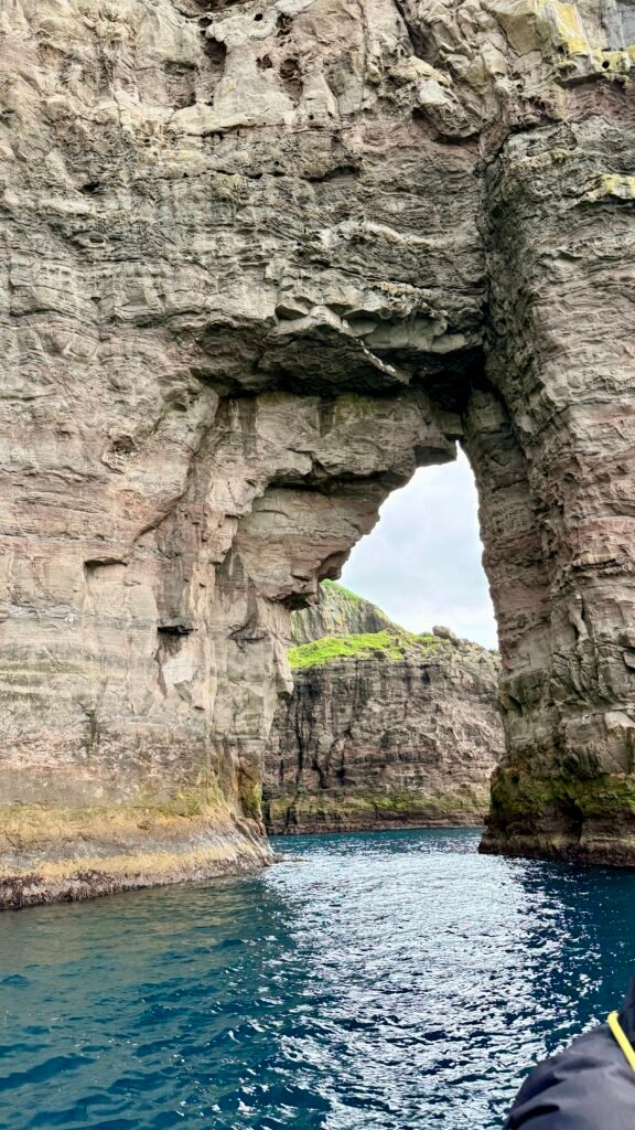
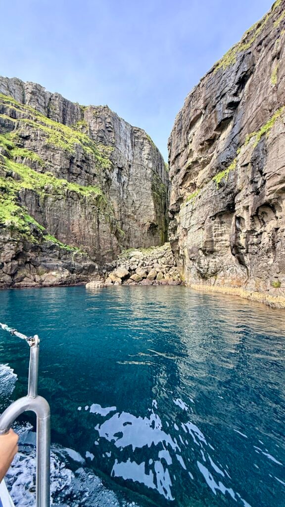
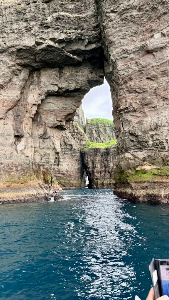
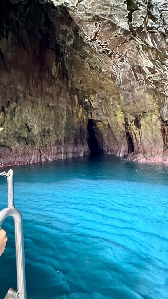
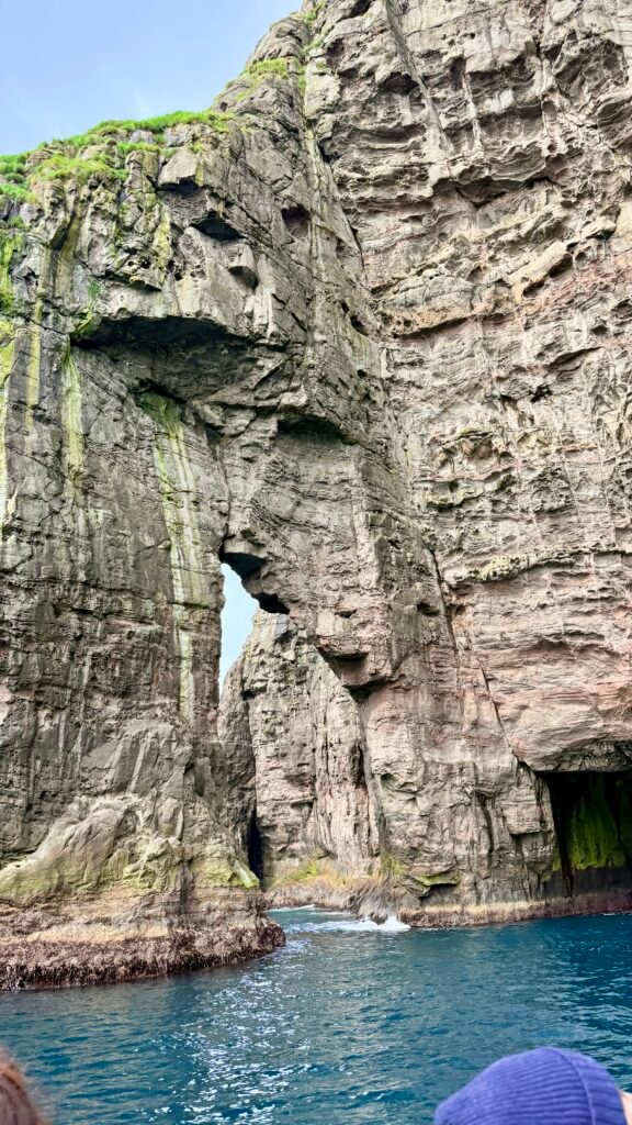
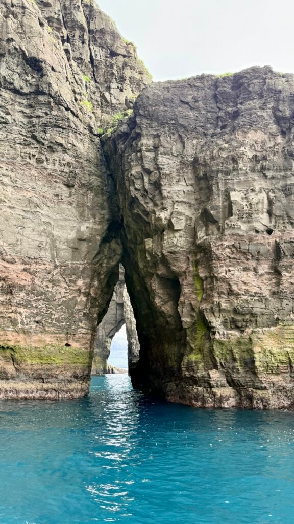
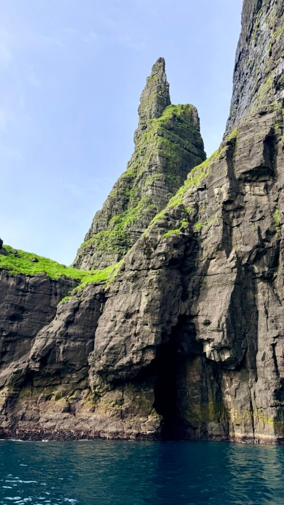
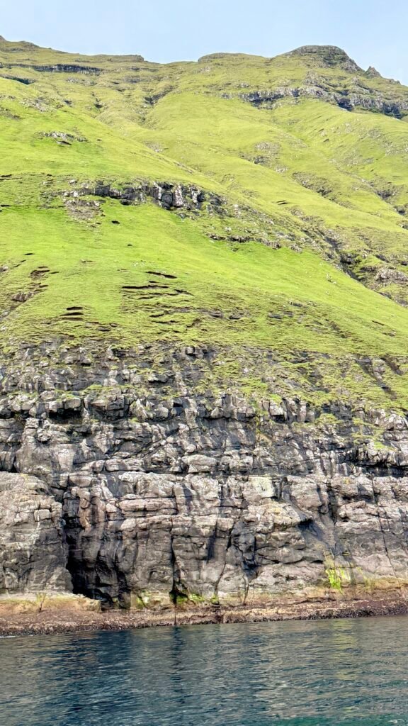
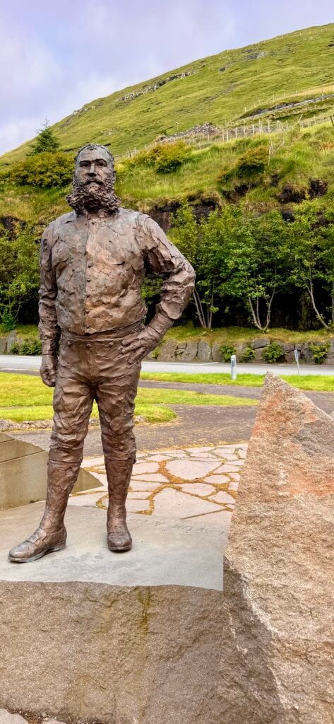
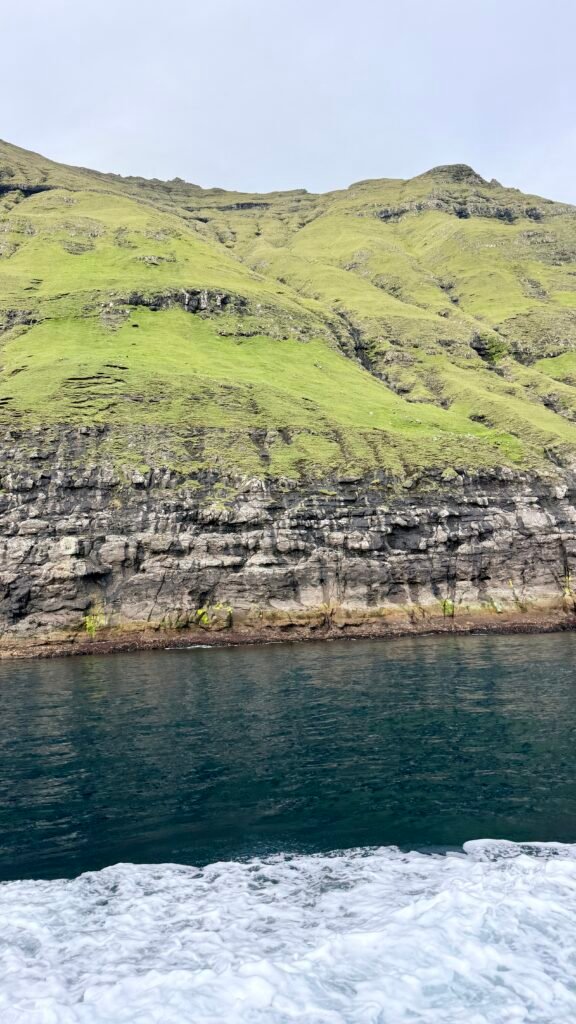
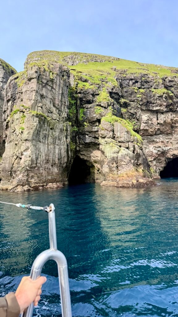
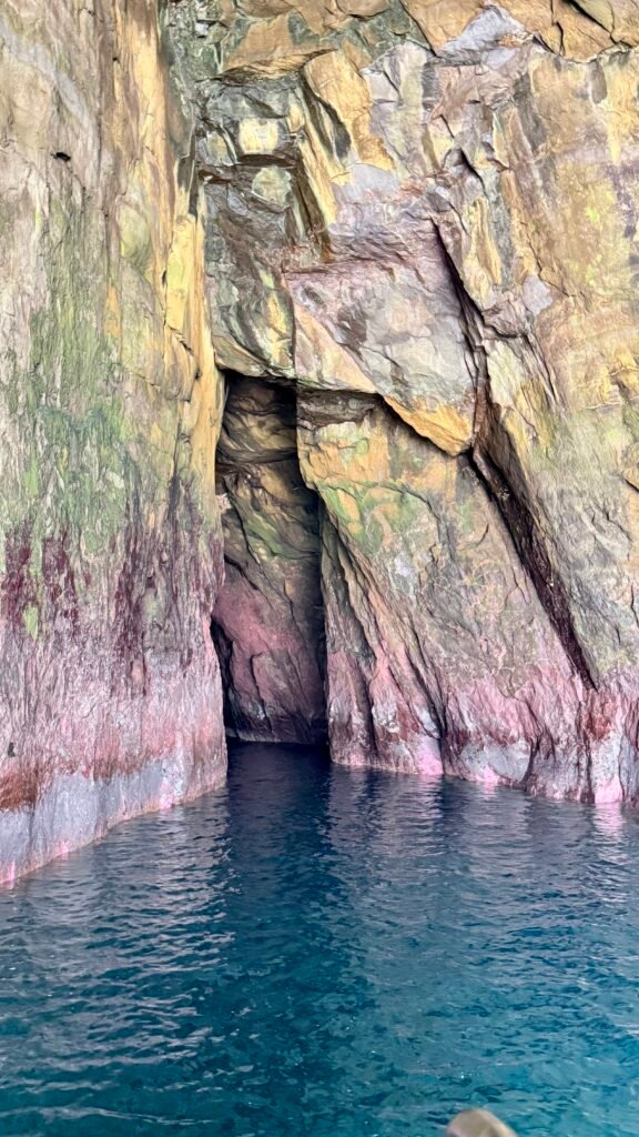
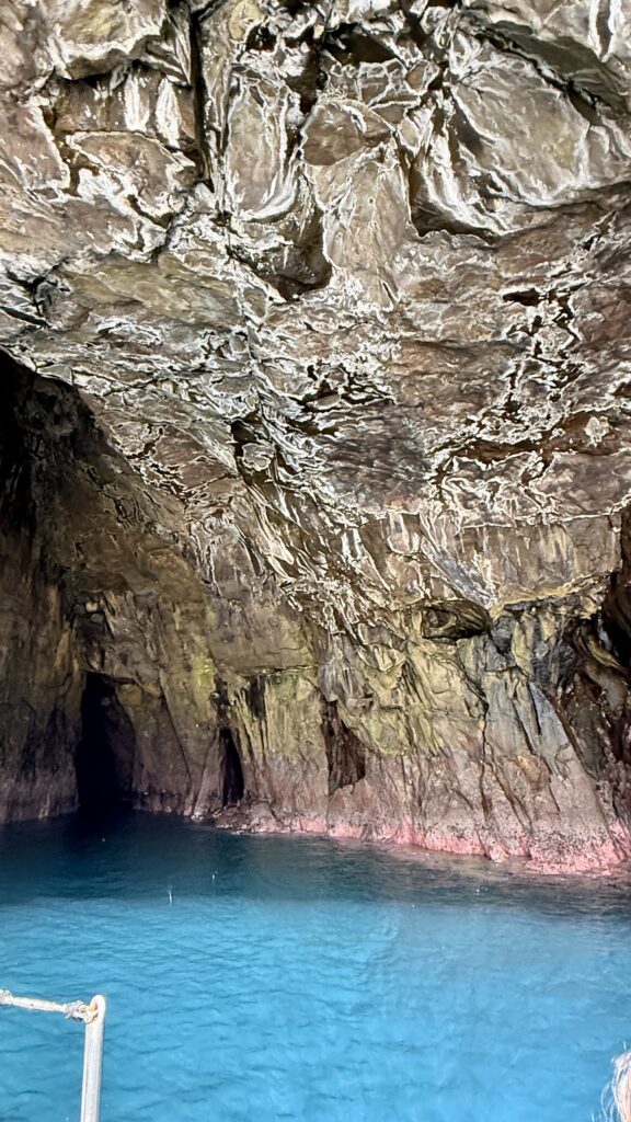
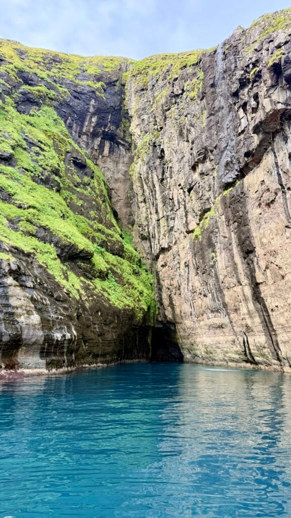
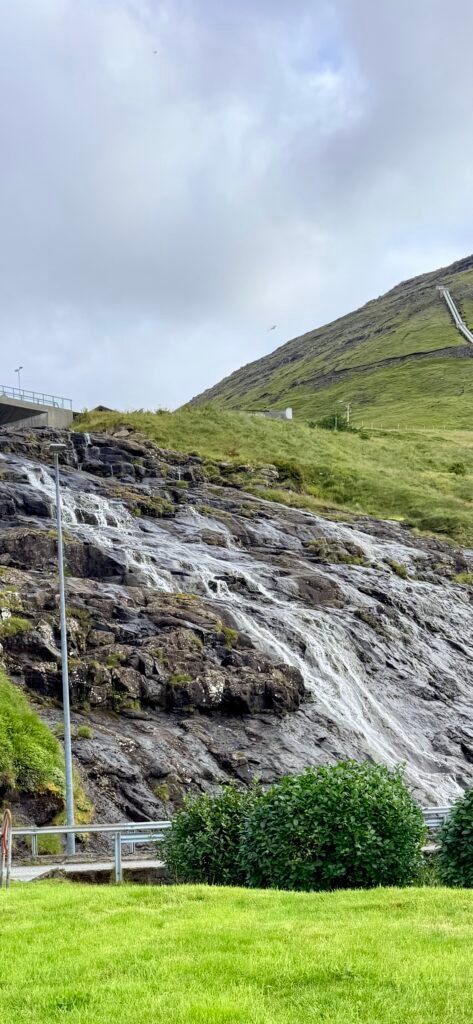
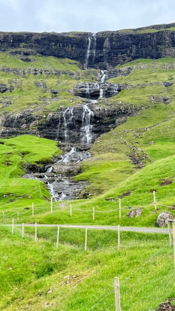
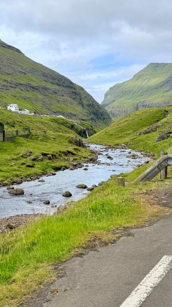
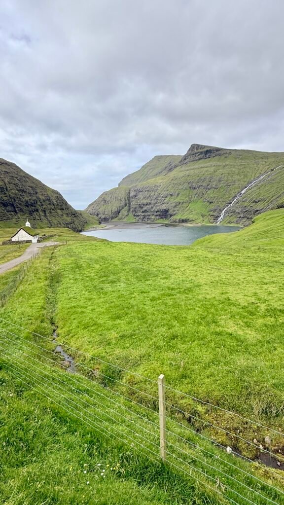
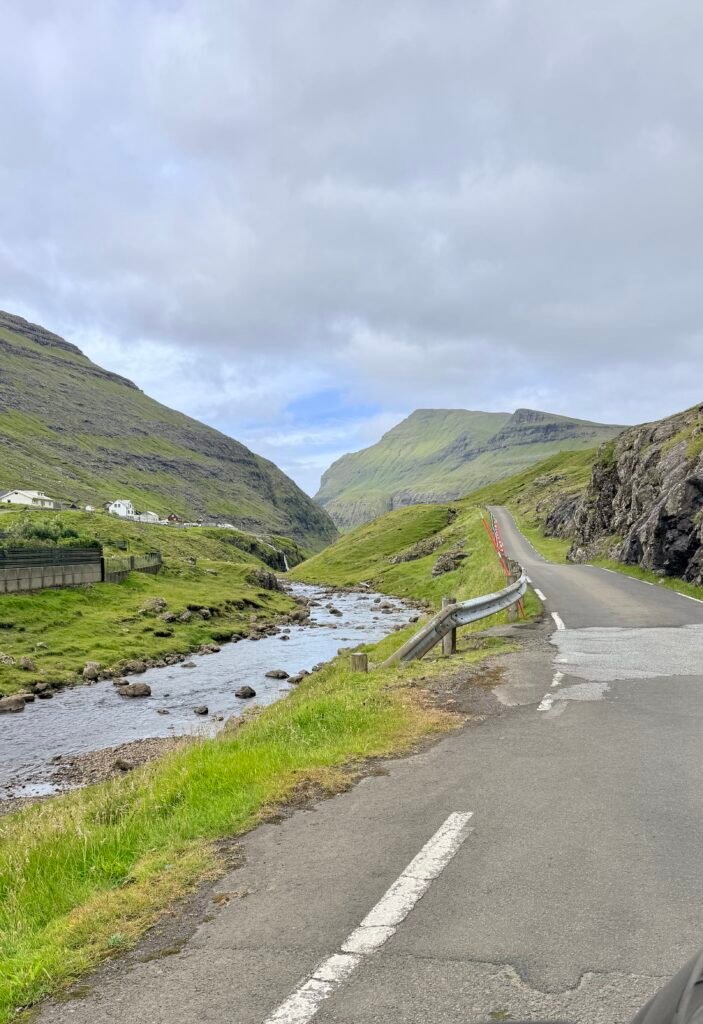
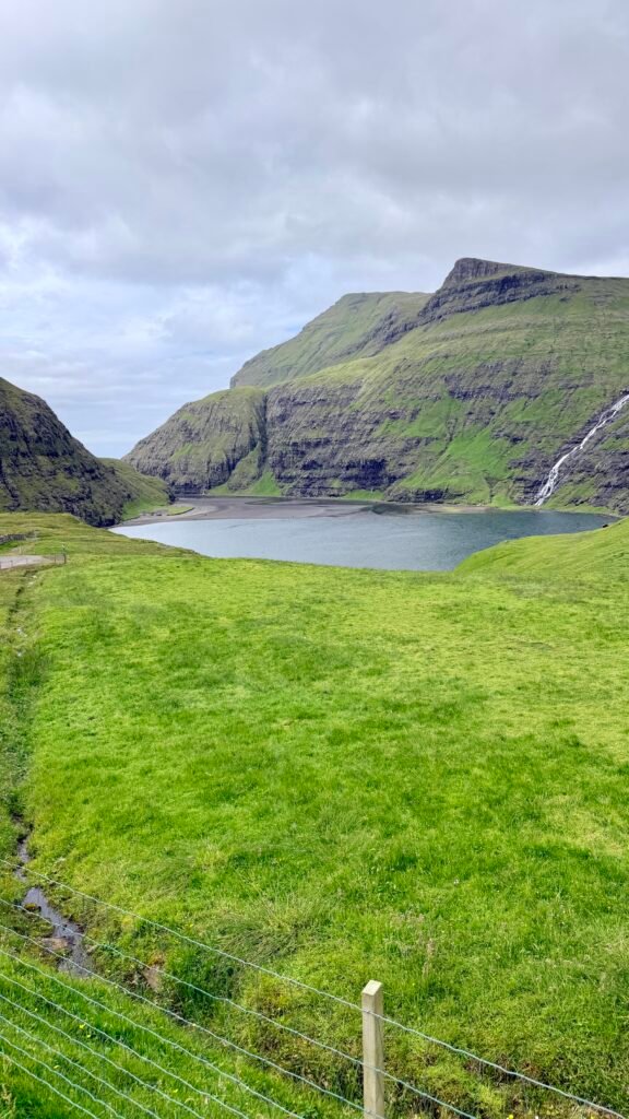
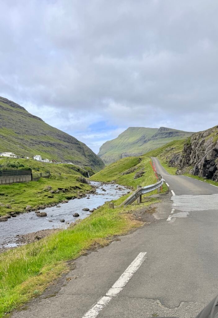
- Saksun ⭐ – One of the most beautiful villages in the Faroes. Traditional turf-roofed houses sit beneath dramatic mountains around a tidal lagoon. The walk toward the black-sand beach is a highlight.
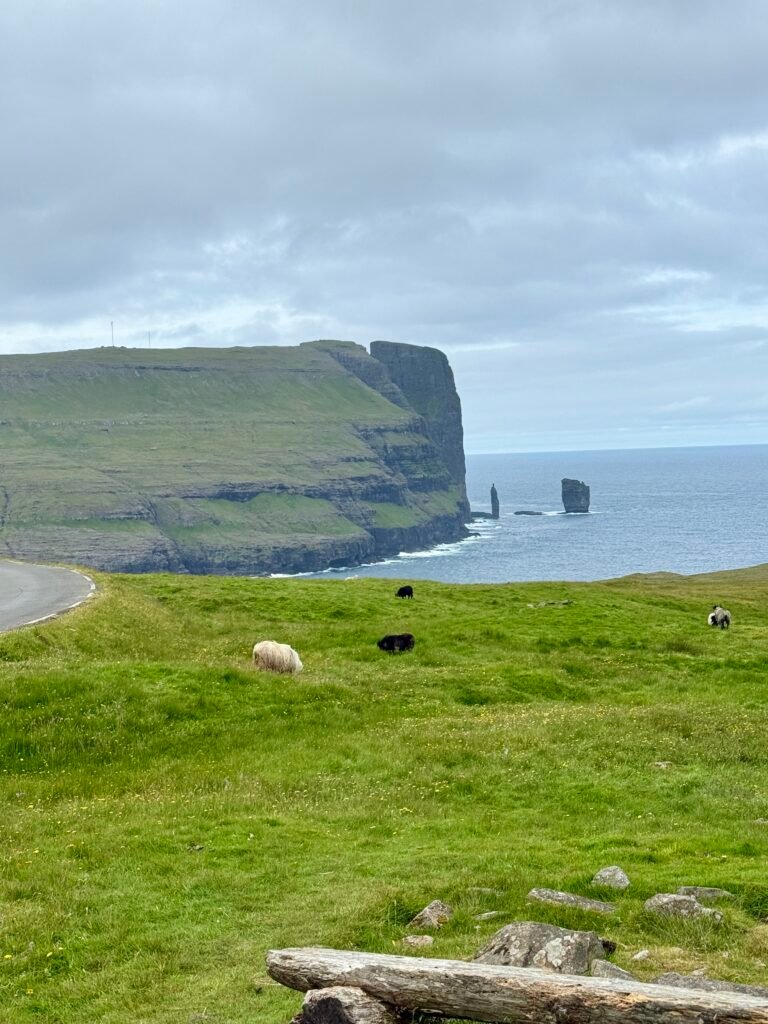
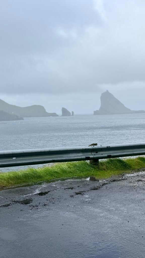
- Tjørnuvík – A tiny village surrounded by steep mountains, with a beautiful black-sand beach. You can see the famous Risin og Kellingin (Giant and Witch) sea stacks offshore.
- Kirkjubøur – Historic village just south of Tórshavn. See the medieval St. Magnus Cathedral ruins, Ólavskirkjan, and the historic Roykstovan farmhouse.
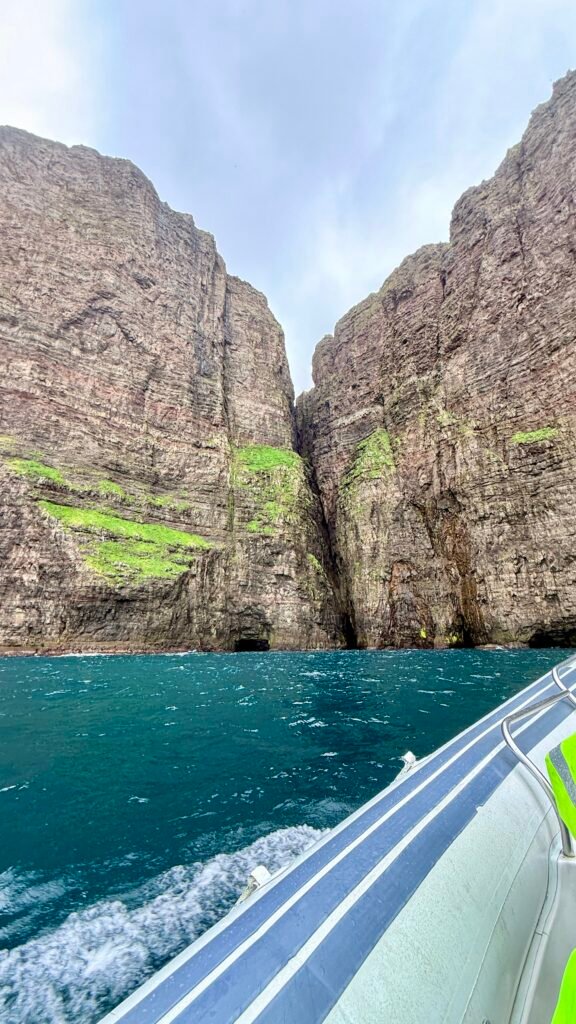
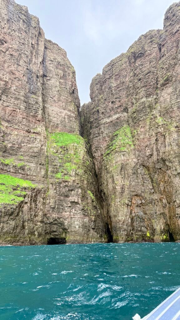
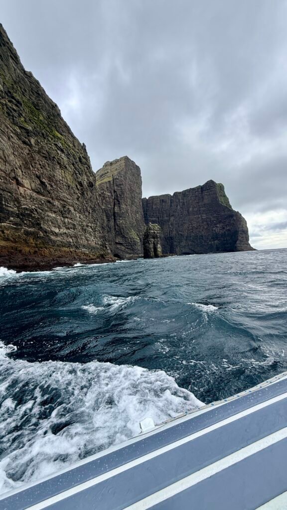
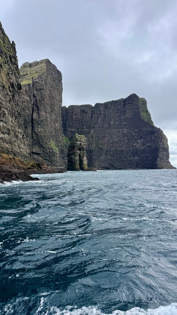
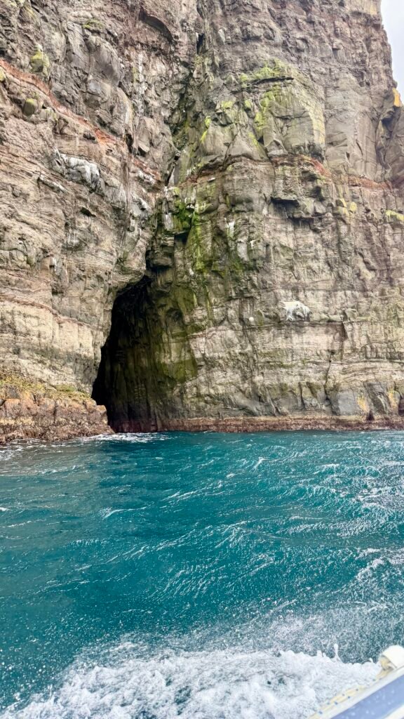
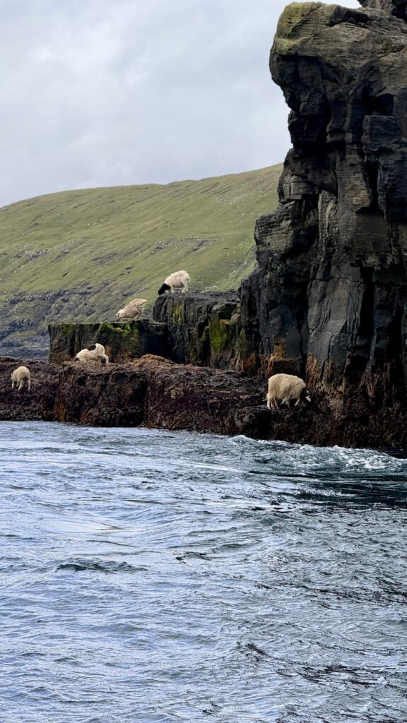
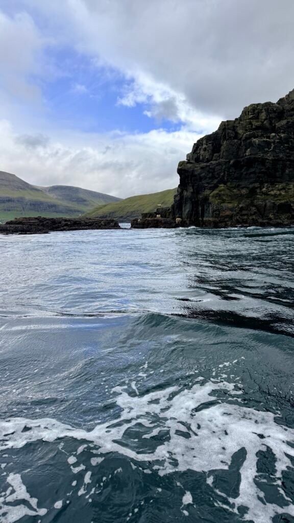
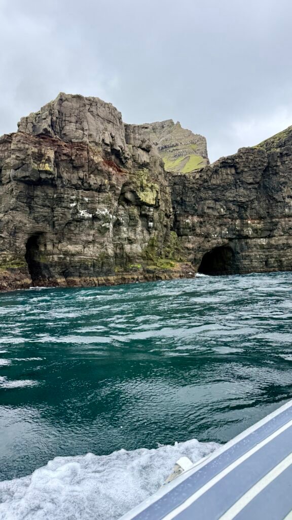
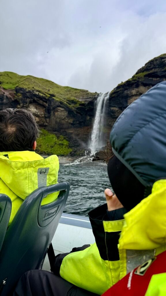
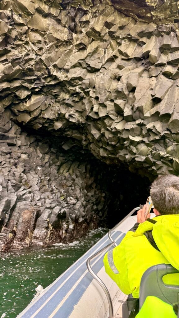
- Vestmanna – Gateway to the famous Vestmanna Sea Cliffs, where boat trips take you beneath enormous cliffs and into sea caves.
- Hvalvík & Haldórsvík – Small traditional villages that are easy stops while driving around northern Streymoy.
Eysturoy Island
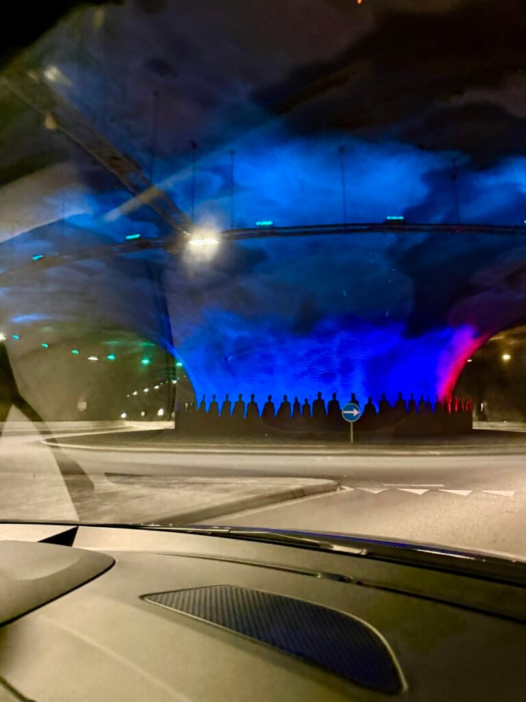
Eysturoy is the second-largest island in the Faroe Islands and is one of the best islands for dramatic mountain scenery, villages, and hiking. It’s connected to Streymoy by the spectacular Eysturoyartunnilin.
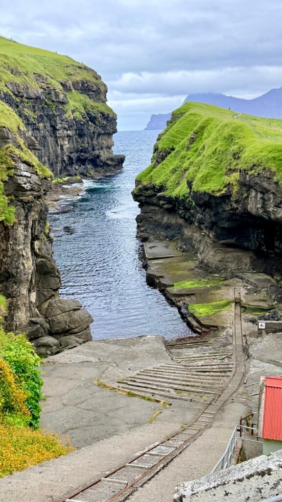
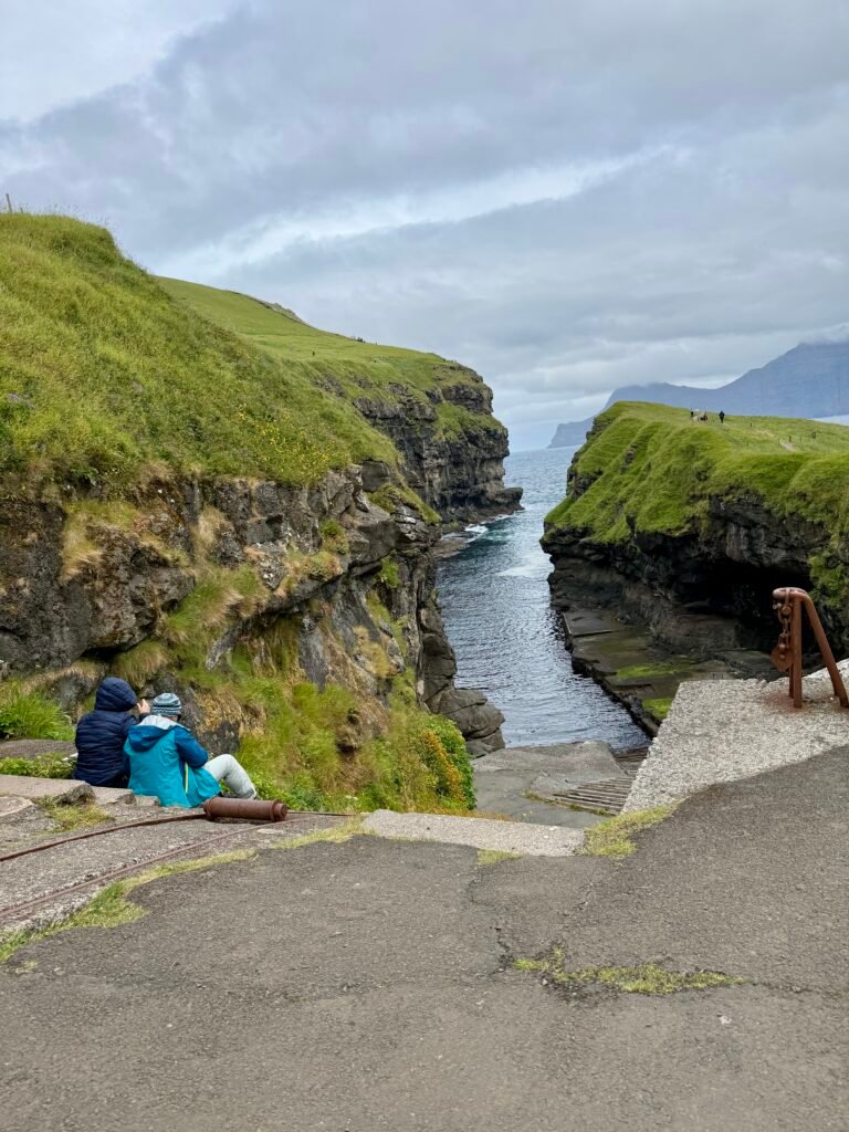
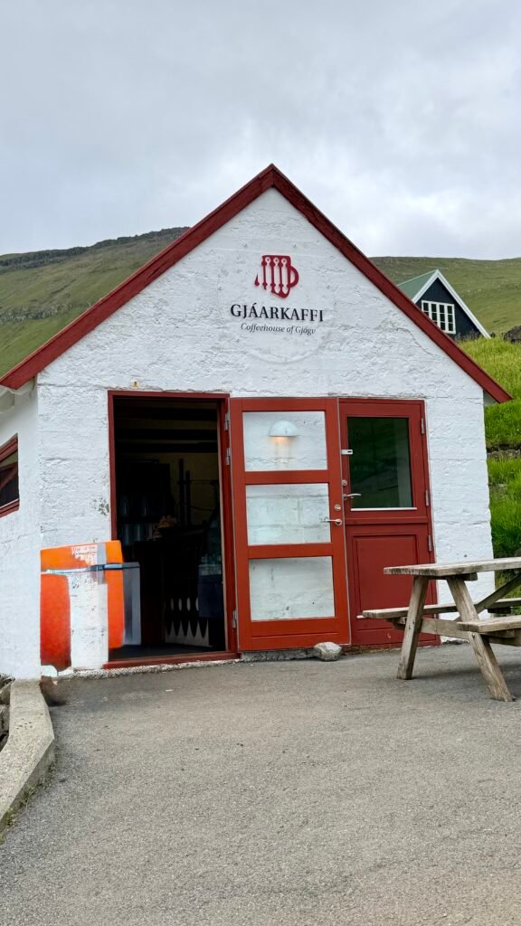
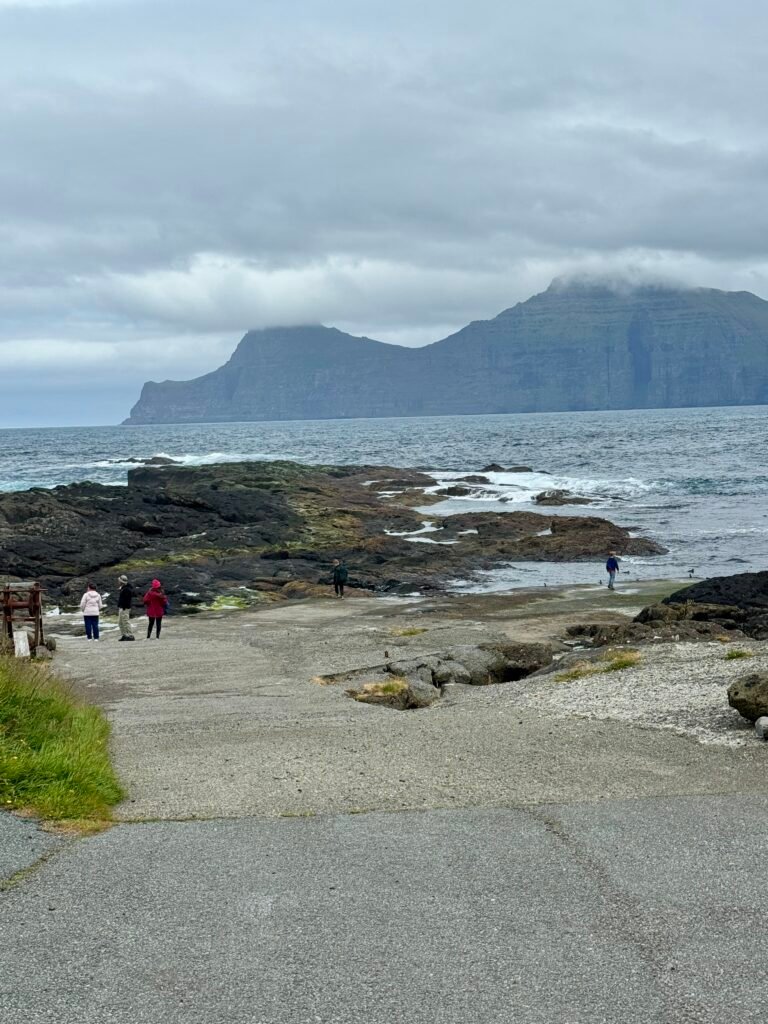
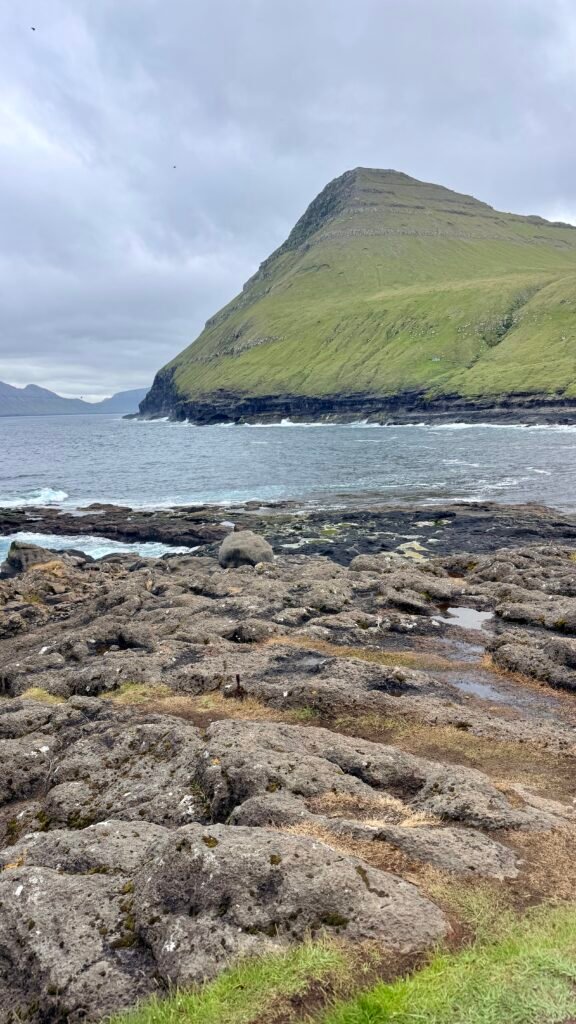
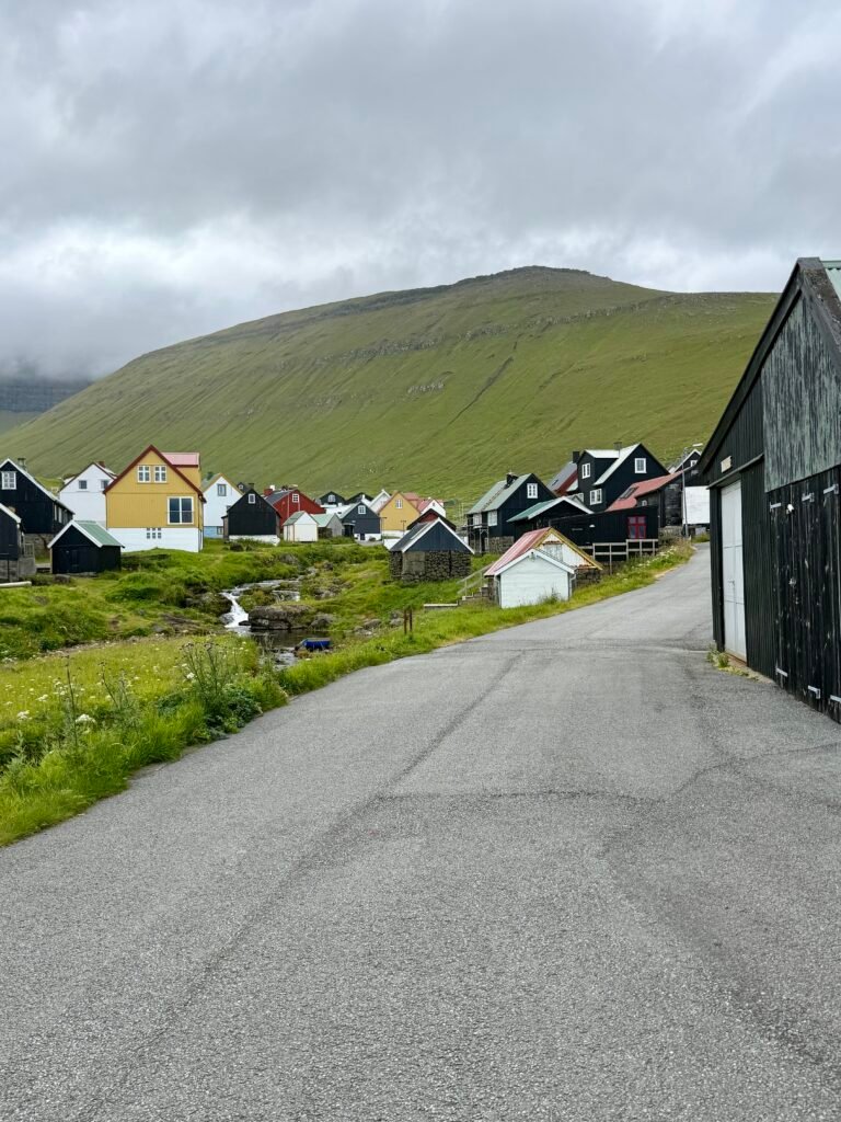
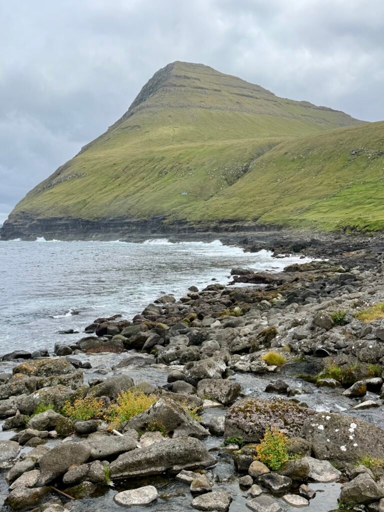
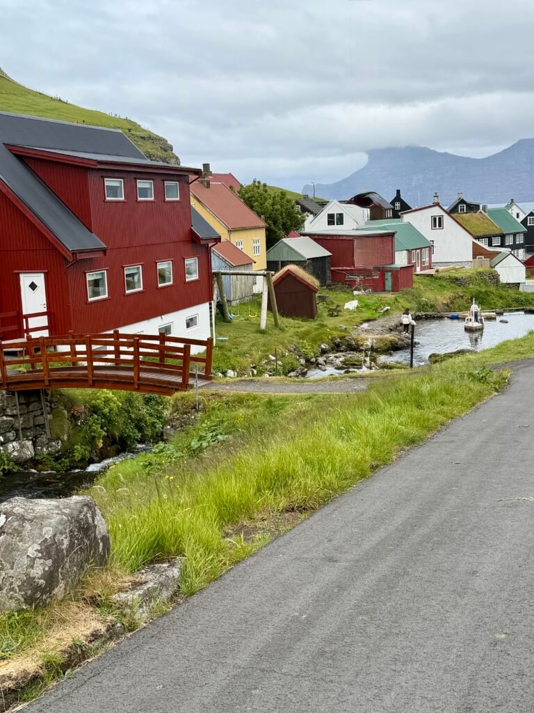
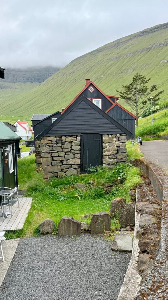
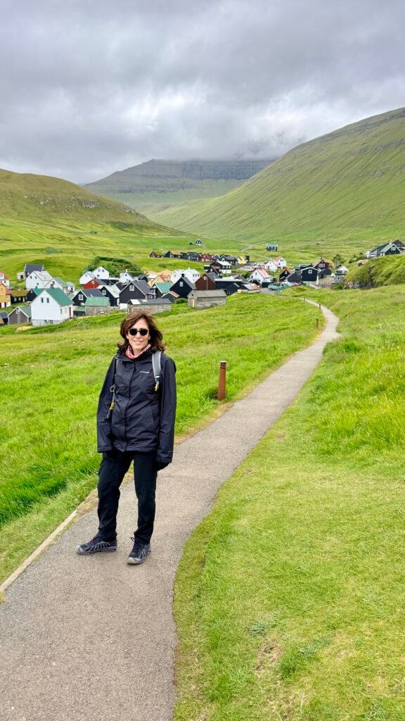
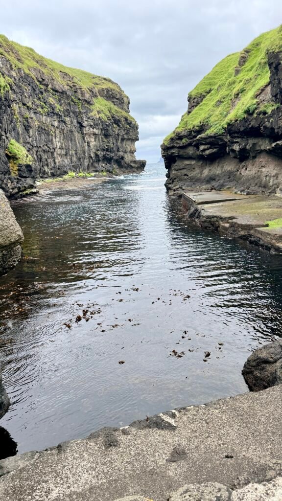
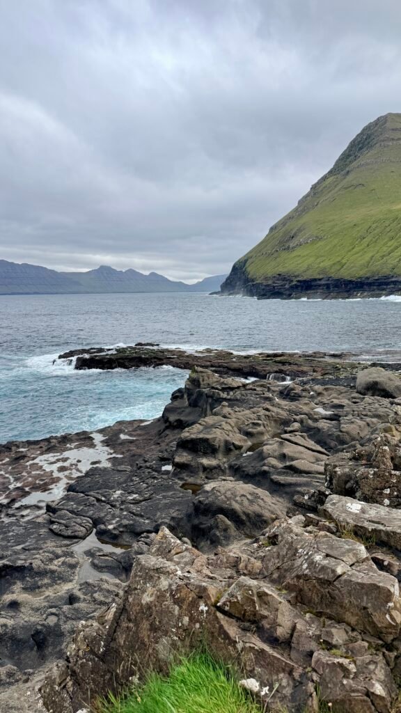
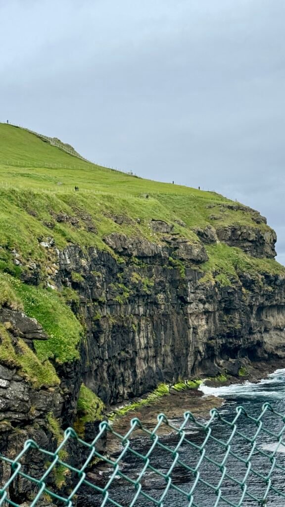
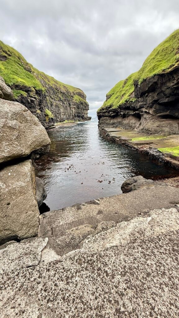
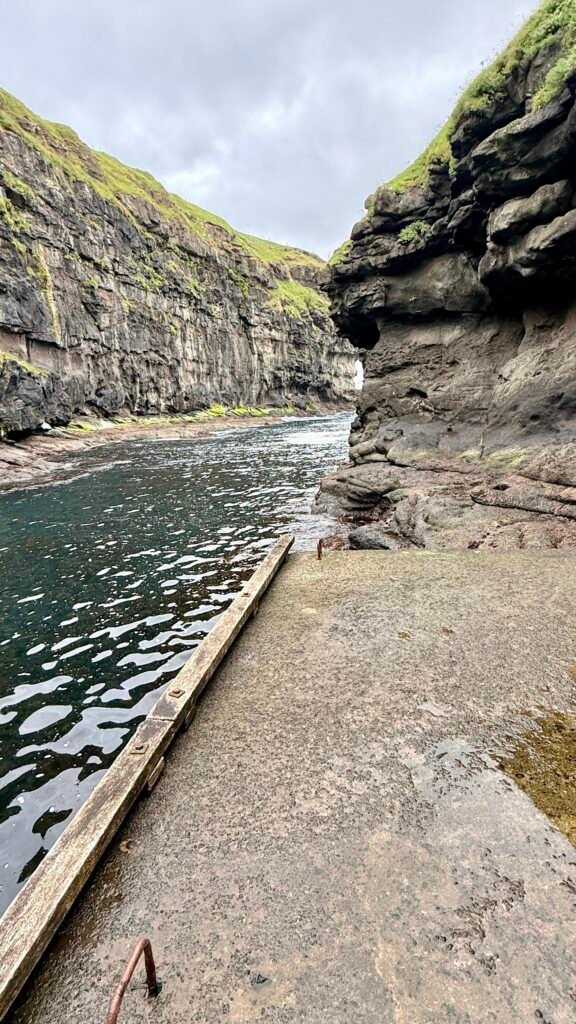
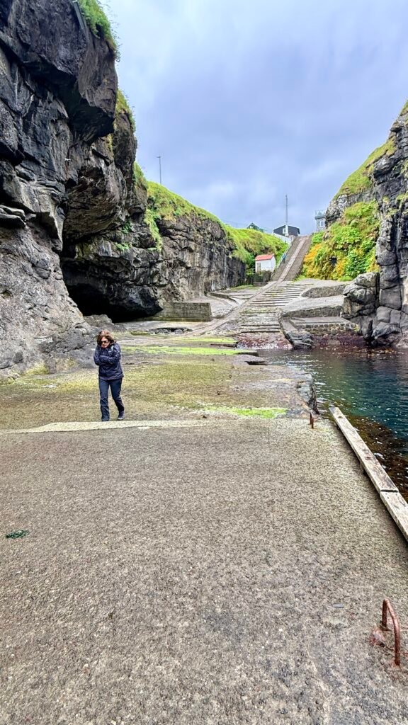
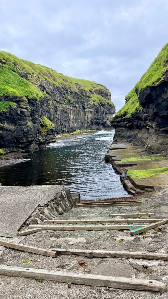
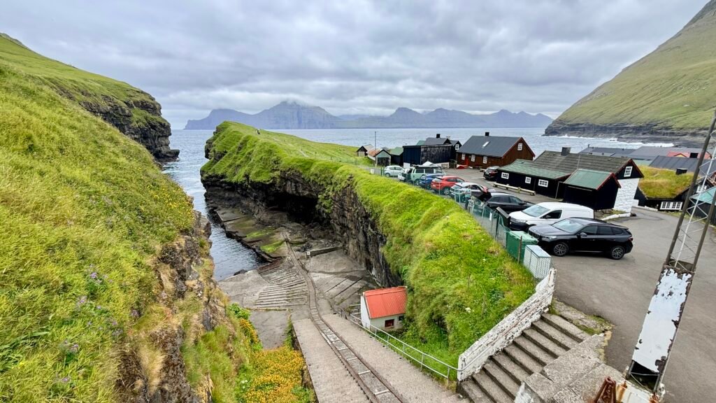
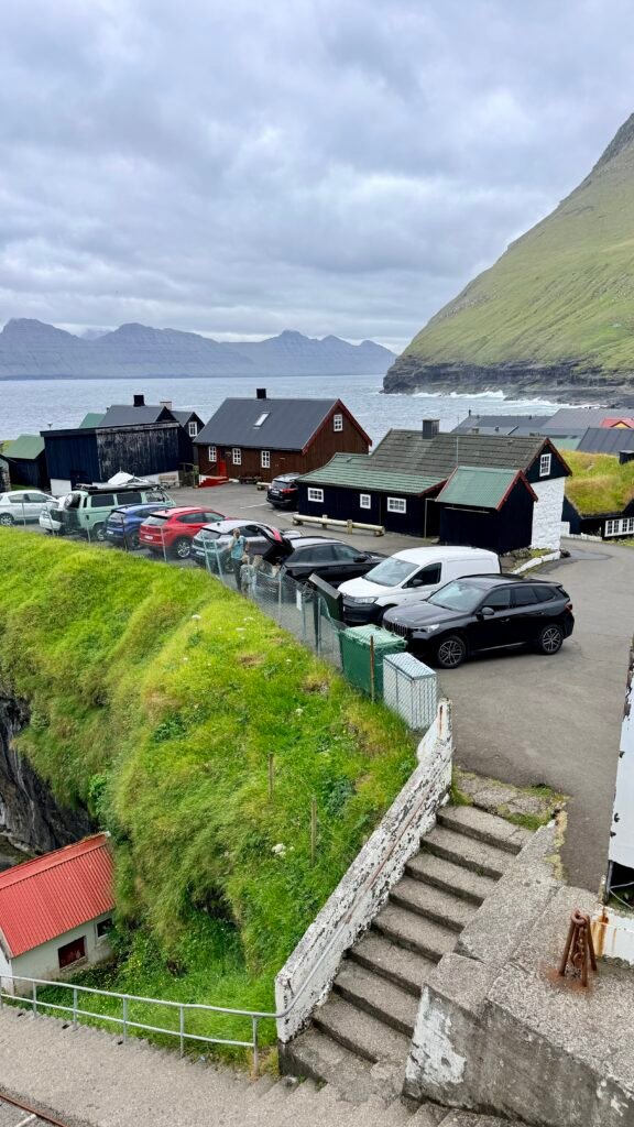
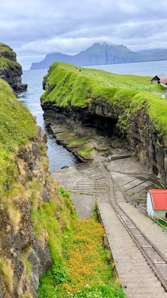
- Gjógv ⭐⭐⭐⭐⭐ – Probably the biggest highlight. A tiny, picturesque village famous for its natural sea gorge, colorful houses, and spectacular mountain setting.
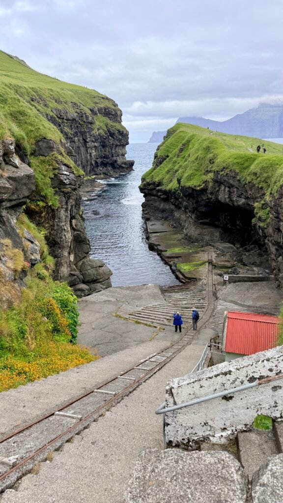
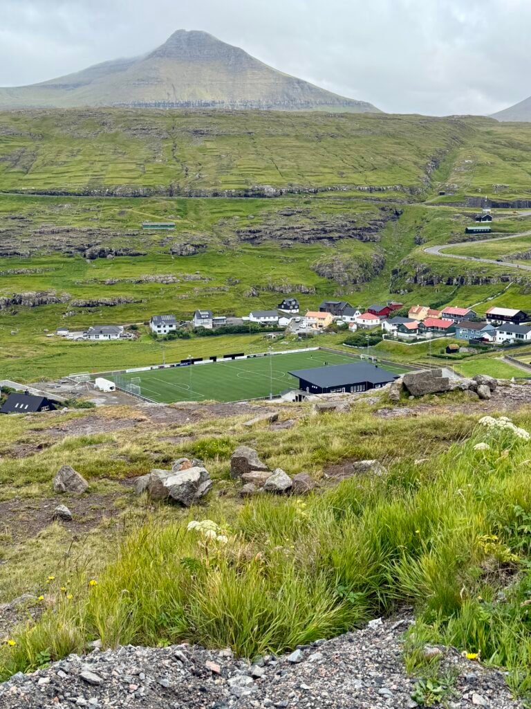
- Eiði – Small village with excellent views toward the famous sea stacks Risin og Kellingin (the Giant and the Witch).
- Slættaratindur – At 880 m, this is the highest mountain in the Faroe Islands. On a clear day, the summit provides incredible views across the islands.
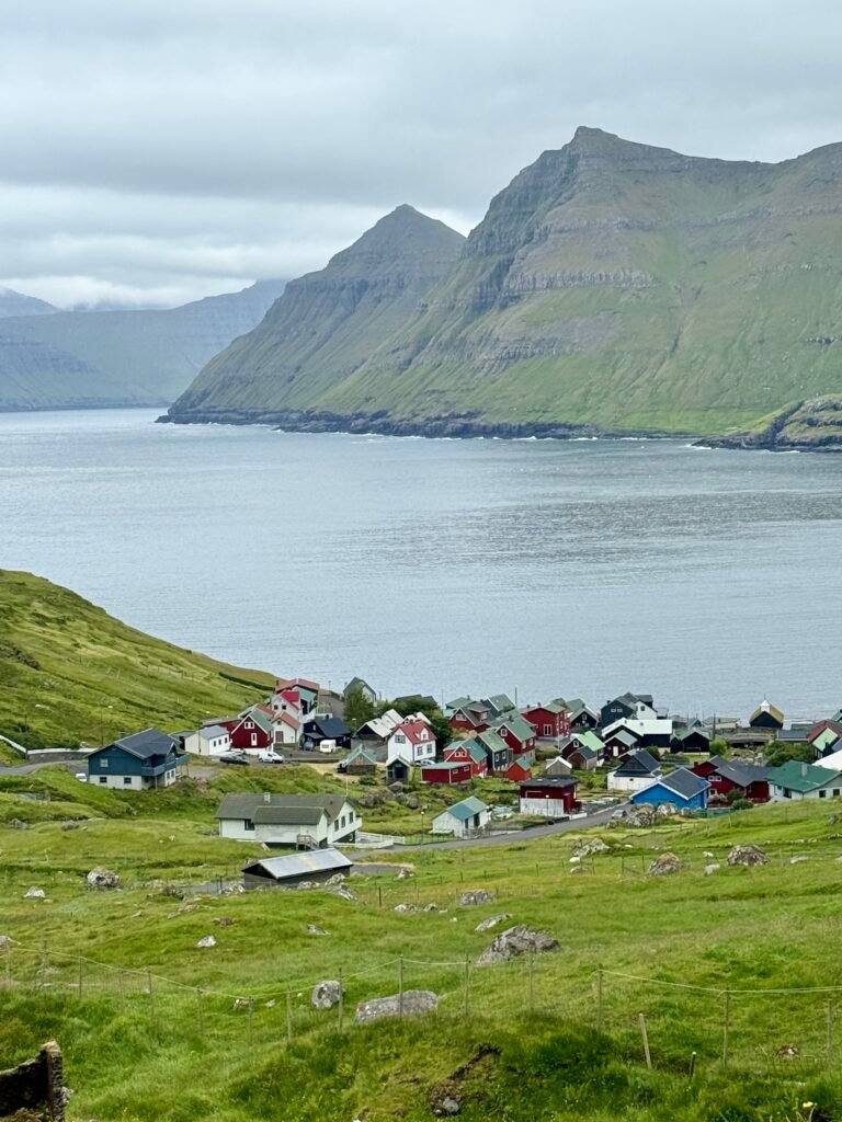
- Funningur – Beautiful traditional village at the head of a fjord, surrounded by steep mountains.
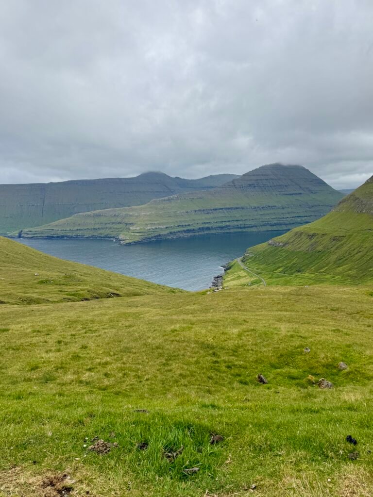
- Funningsfjørður – A scenic fjord and excellent driving route.
- Oyndarfjørður – Worth a stop for its small harbor and the unusual Rinkusteinar, two legendary rocking stones in the sea.
Vágar Island
Vágar is one of the most spectacular and accessible islands in the Faroe Islands. It’s home to the international airport and several of the country’s most iconic sights. For a first trip, I’d consider Vágar essential.
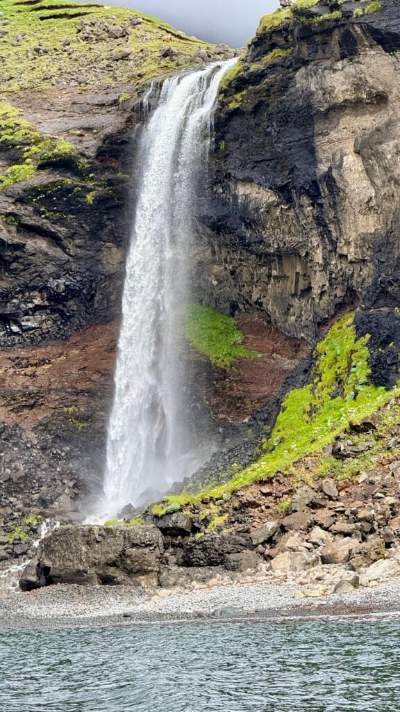
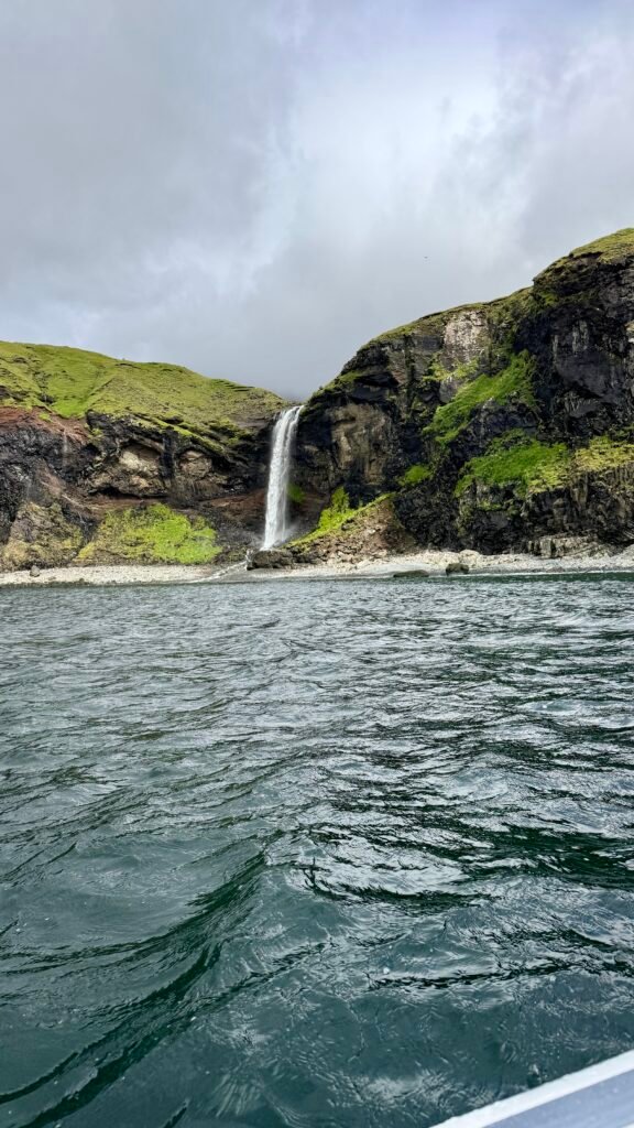
- Múlafossur Waterfall ⭐⭐⭐⭐⭐ – The famous waterfall plunging directly into the Atlantic at Gásadalur. Probably the most photographed sight in the Faroes.
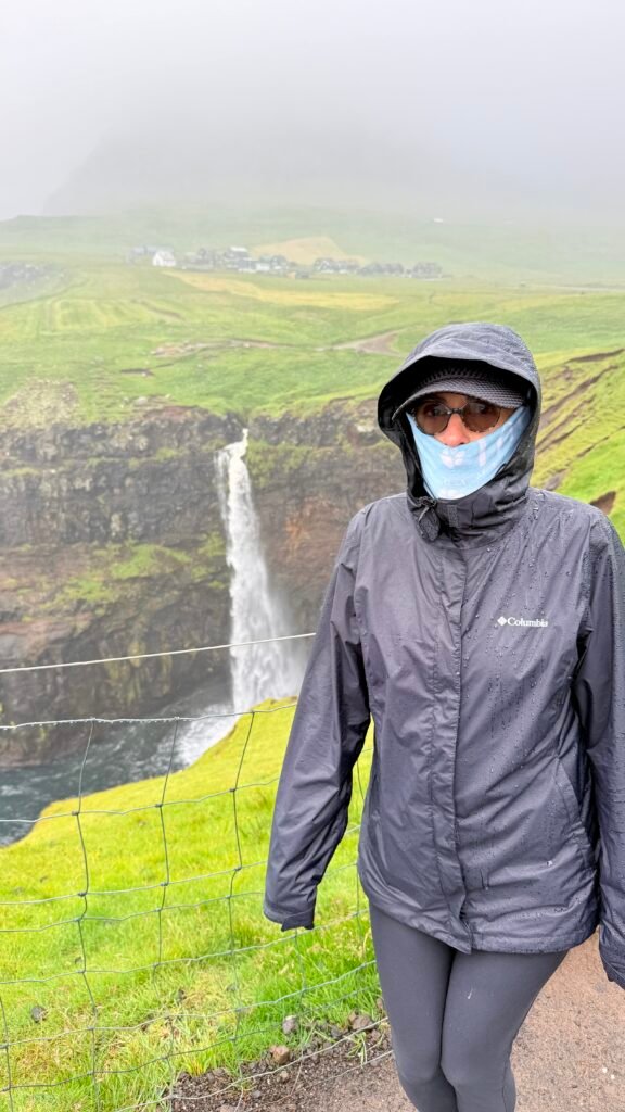
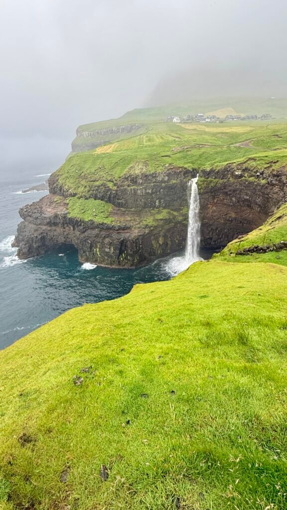
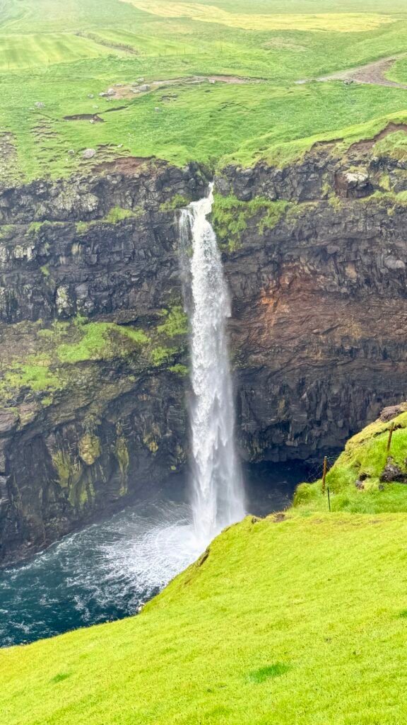
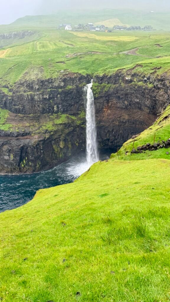
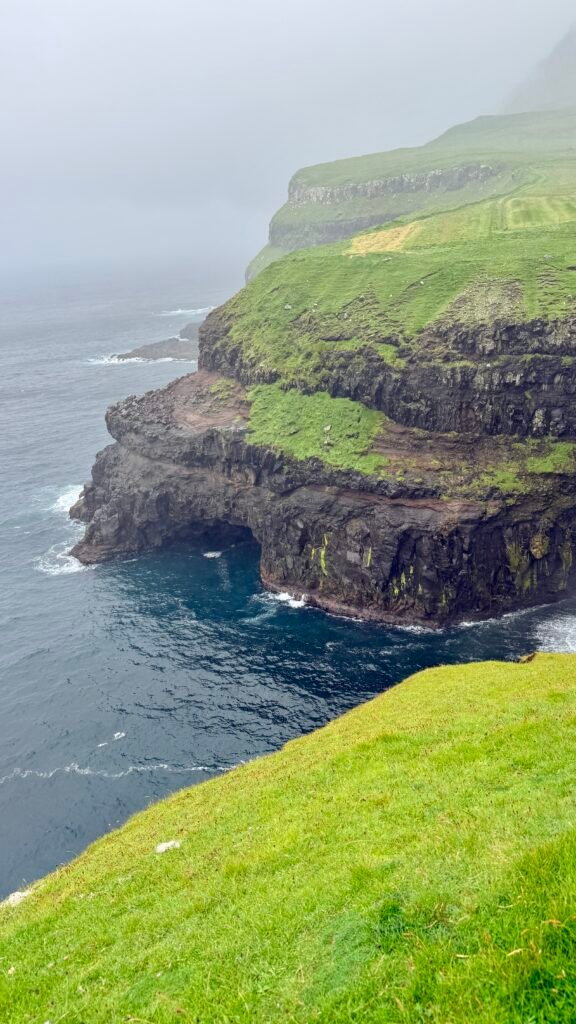
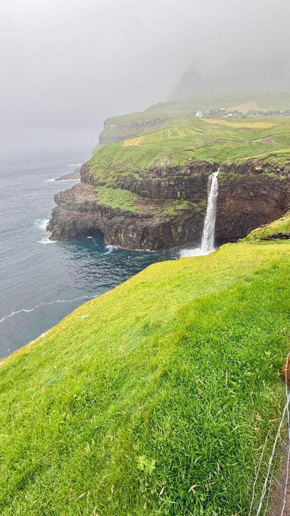
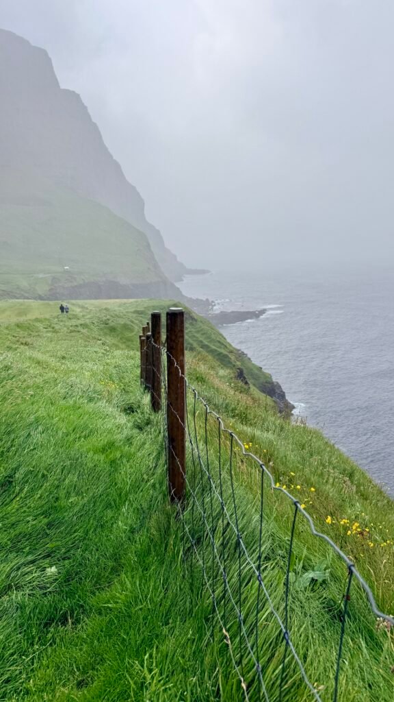
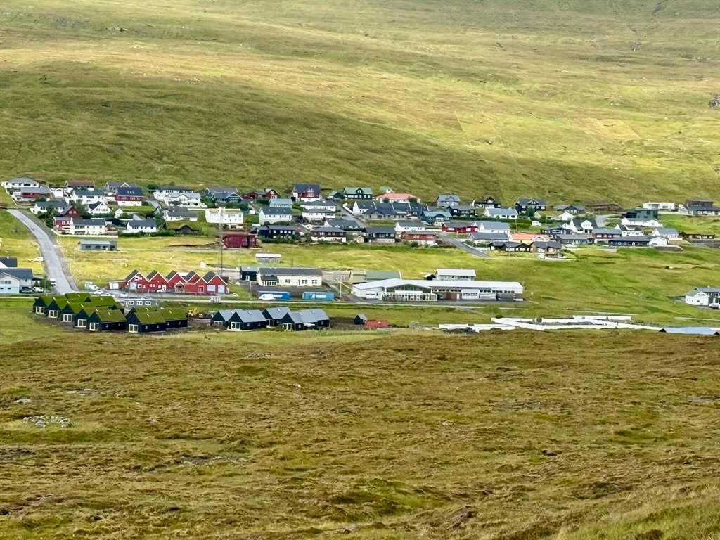
- Gásadalur – Tiny village surrounded by enormous mountains. The road tunnel makes it much easier to reach than it used to be.
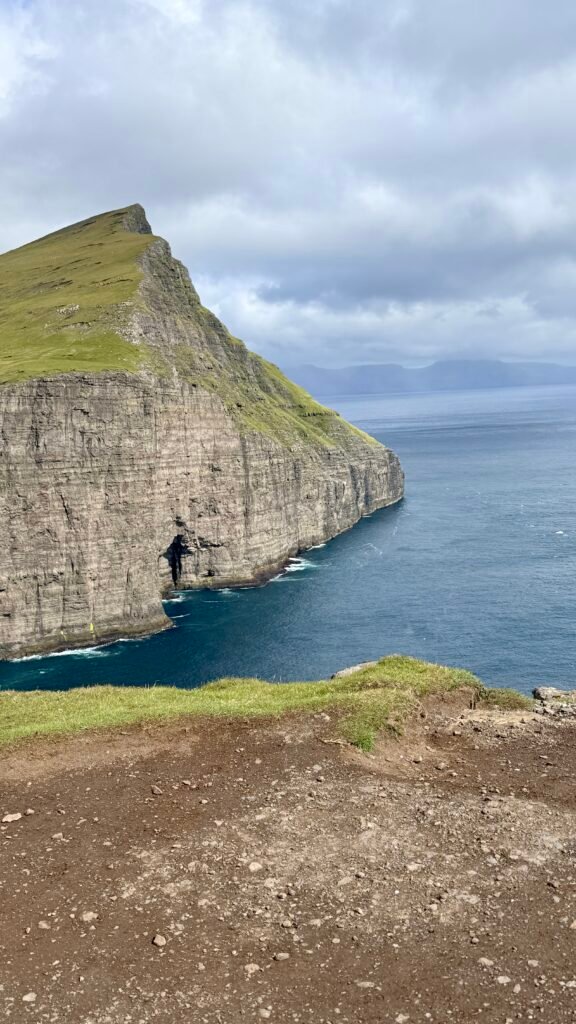
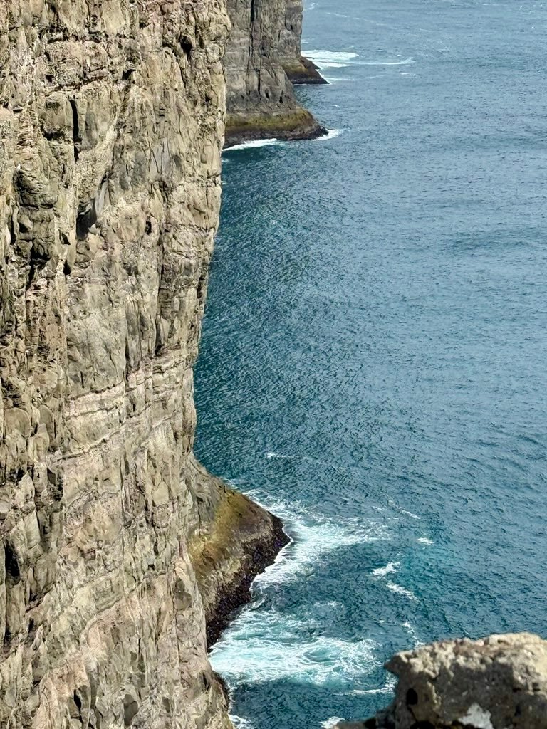
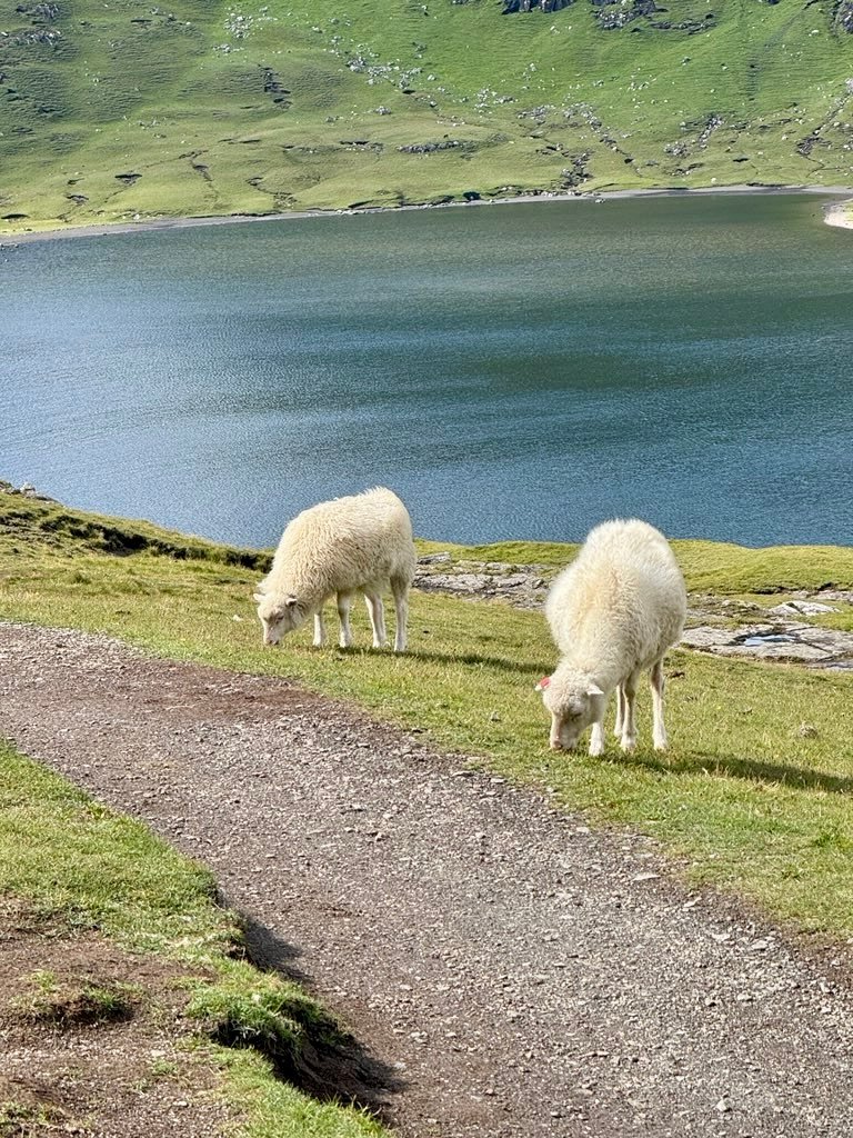
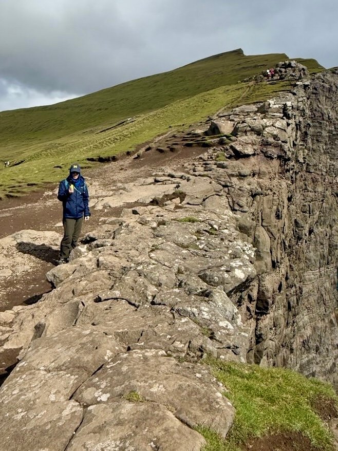
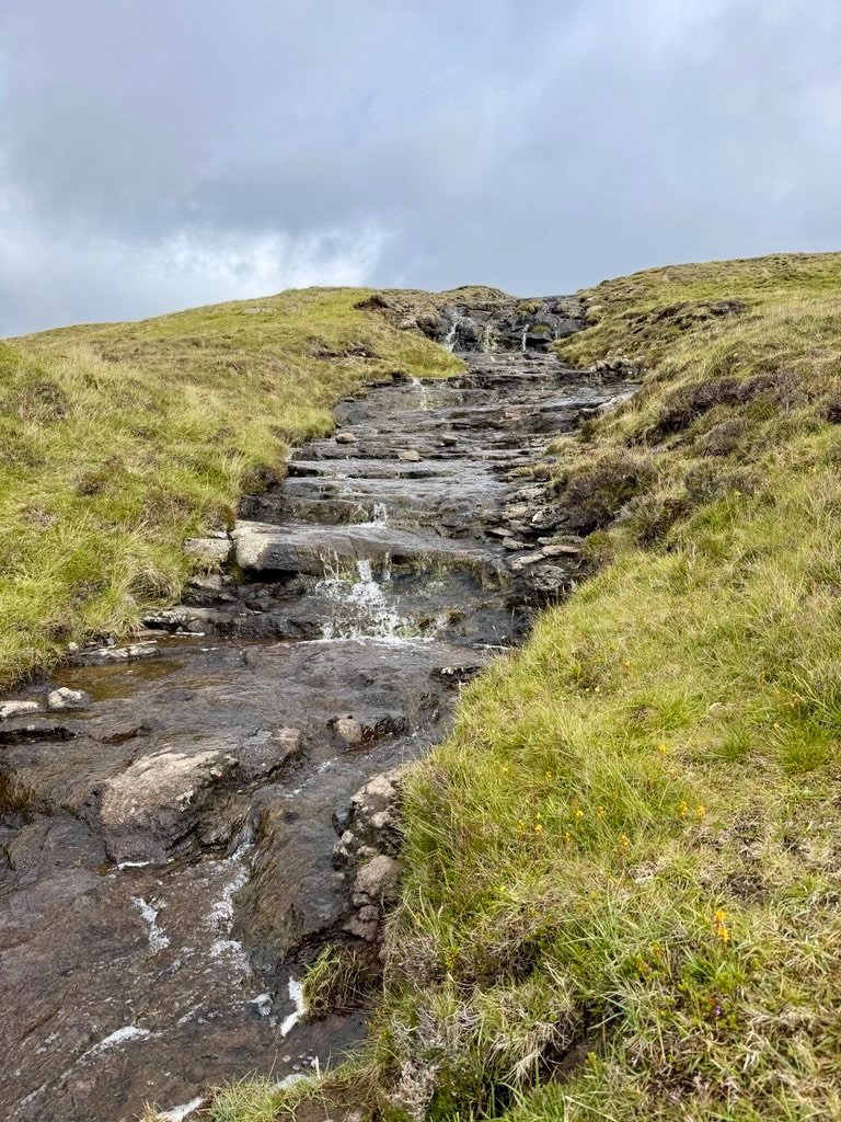
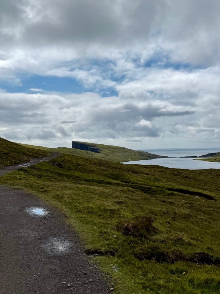
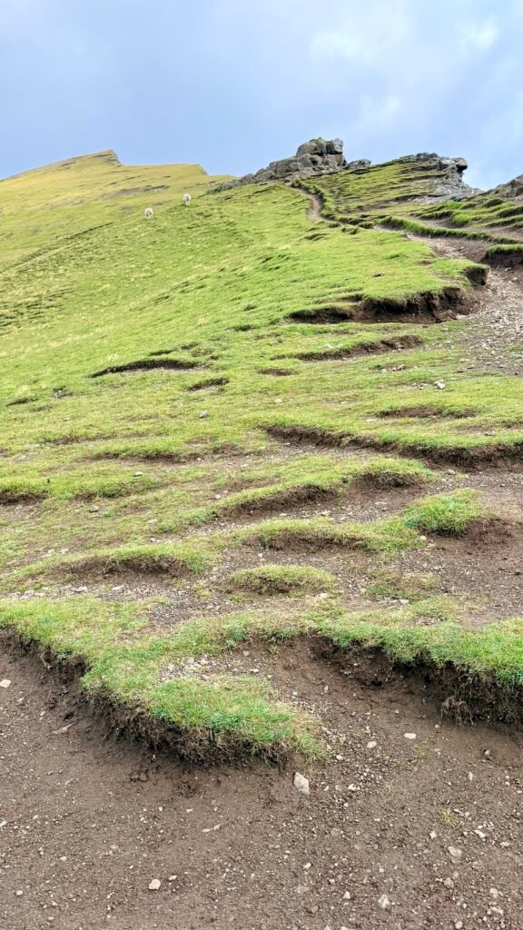
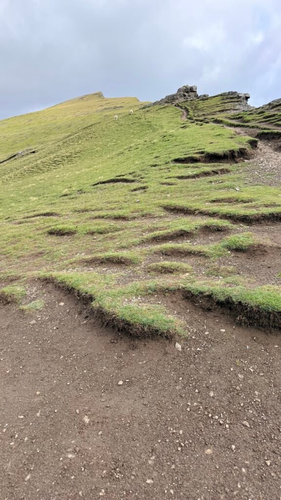
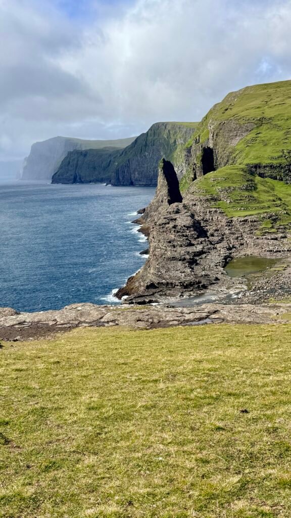
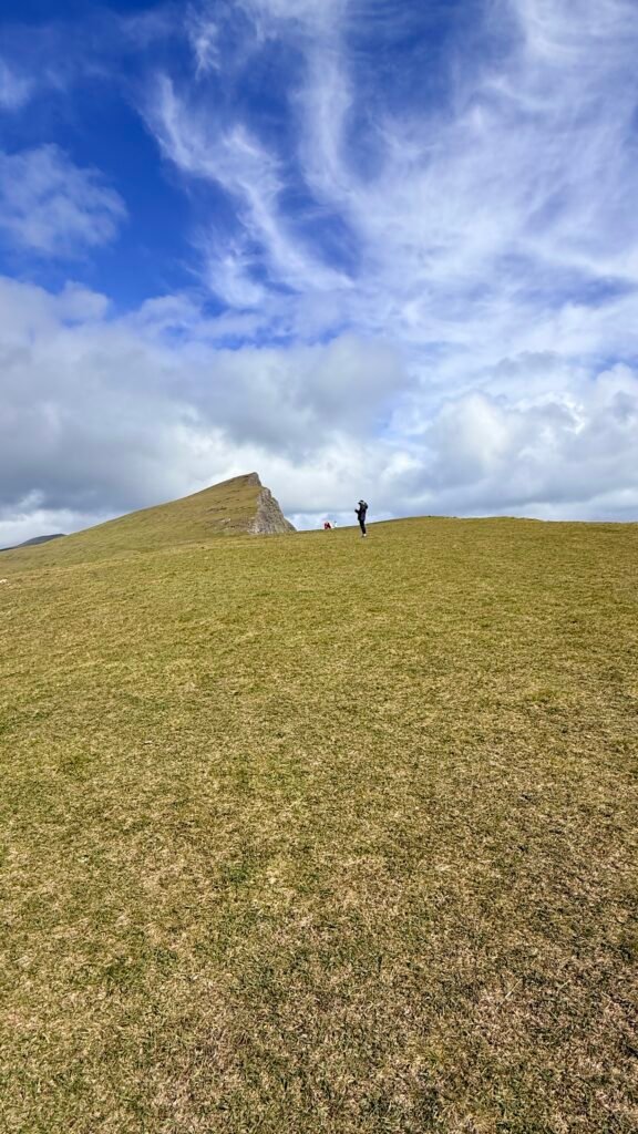
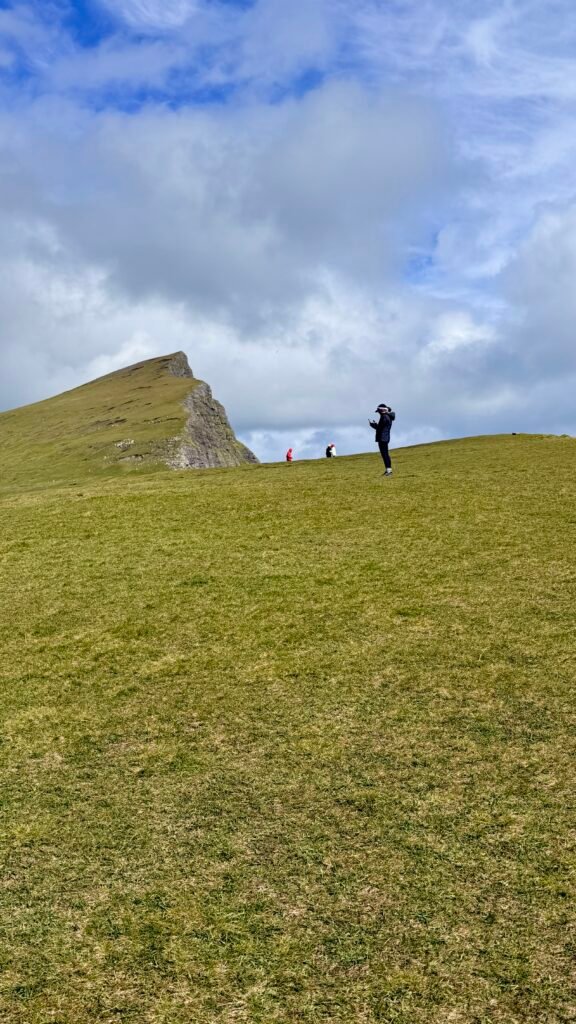
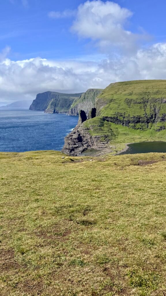
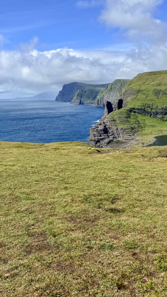
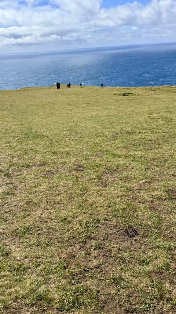
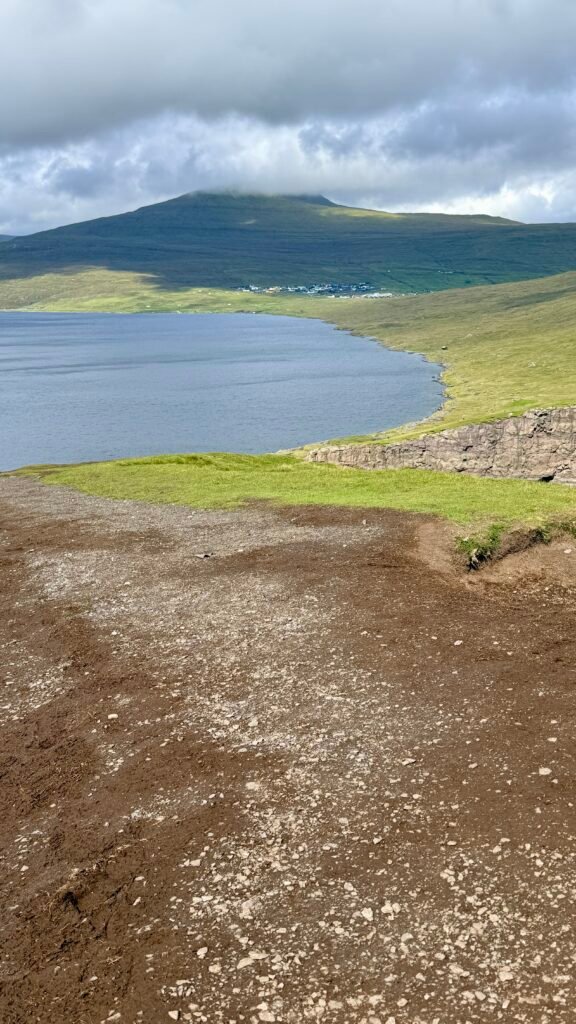
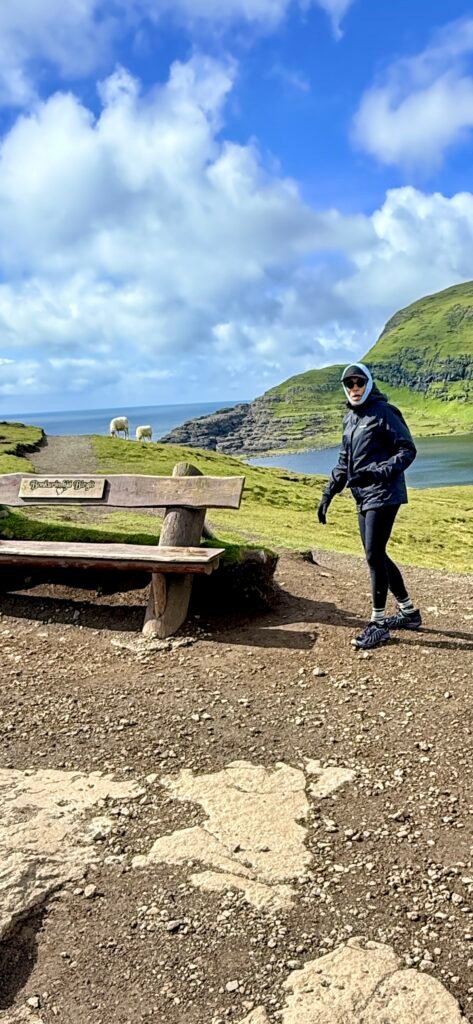
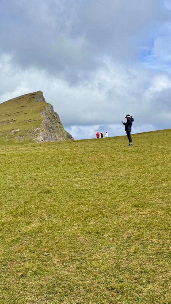
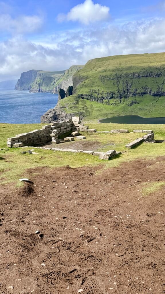
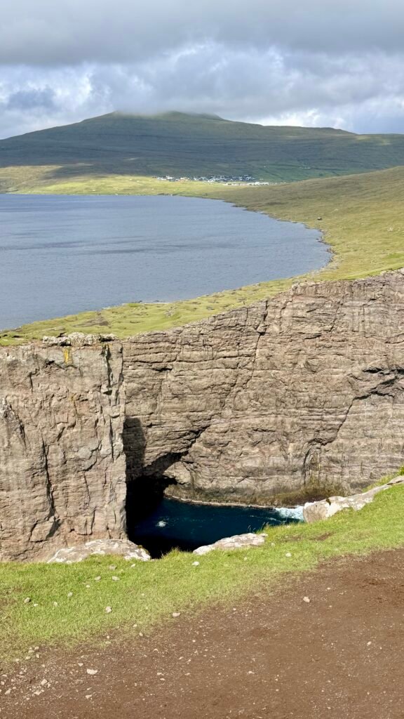
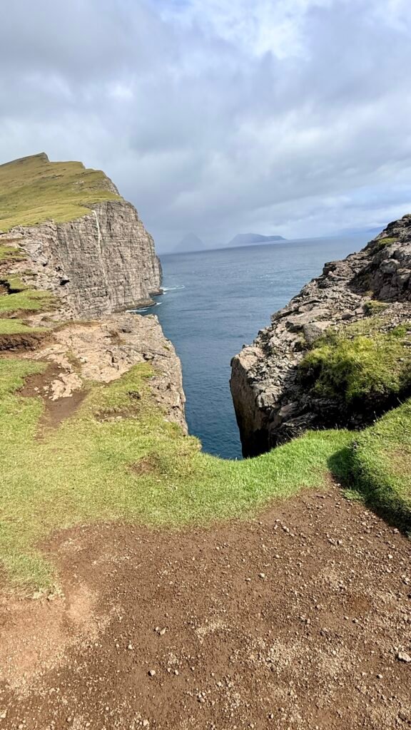
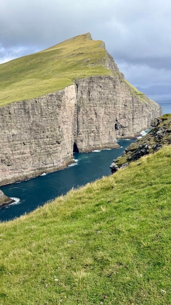
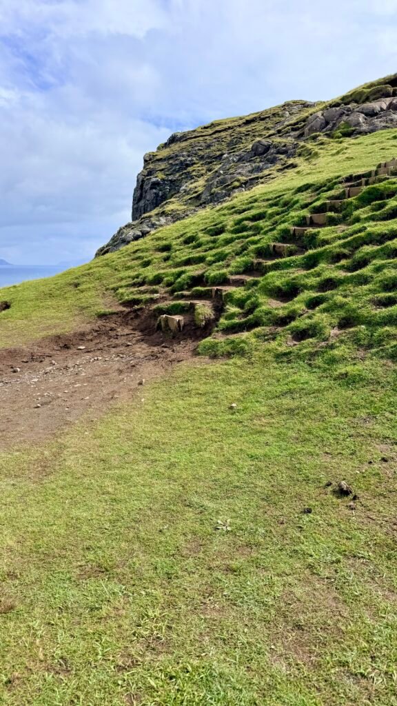
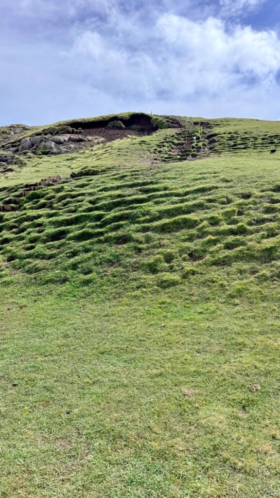
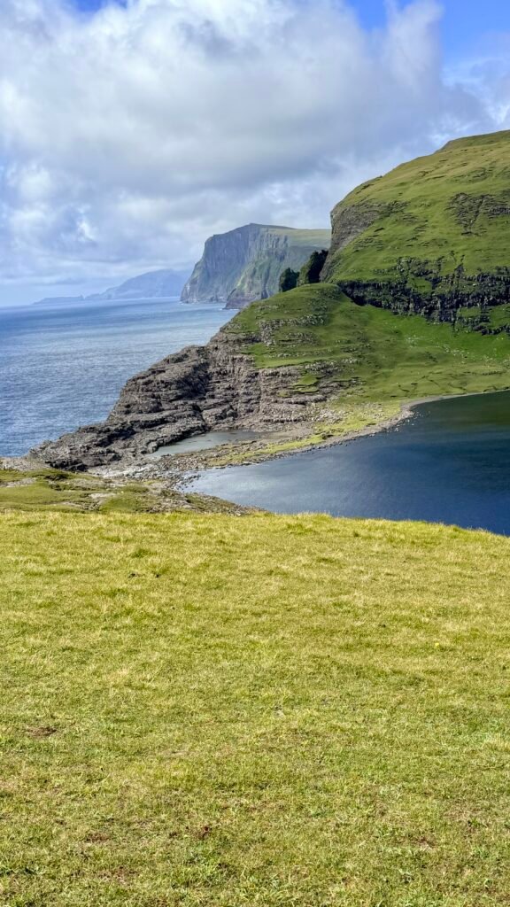
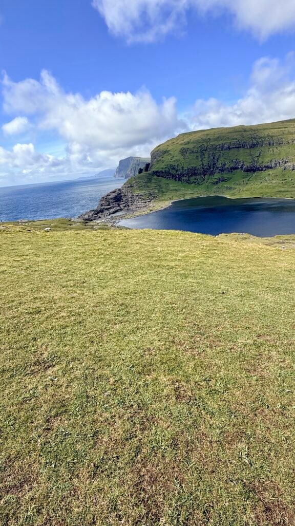
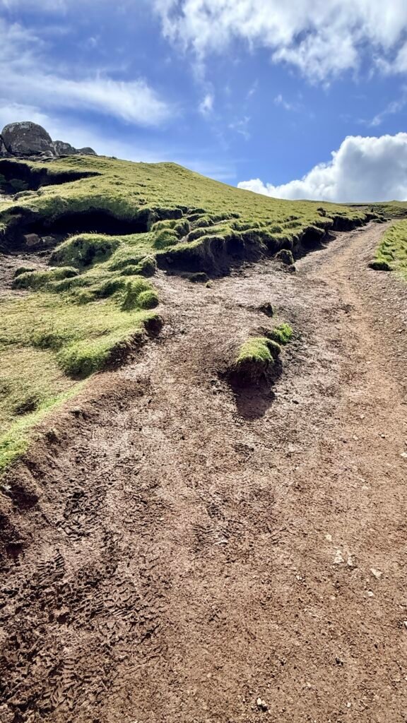
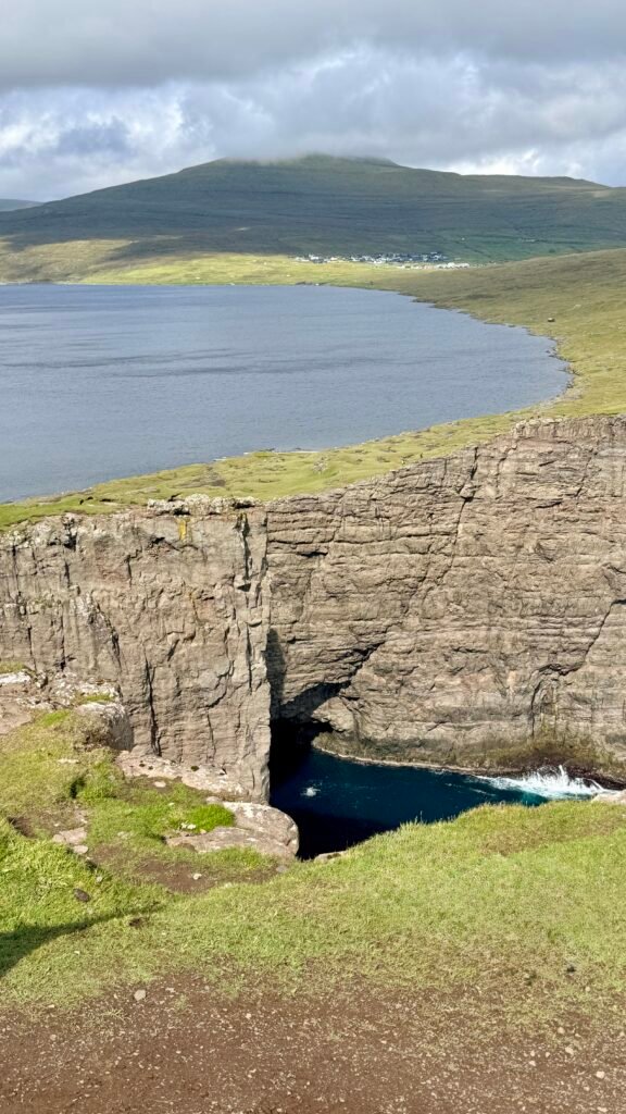
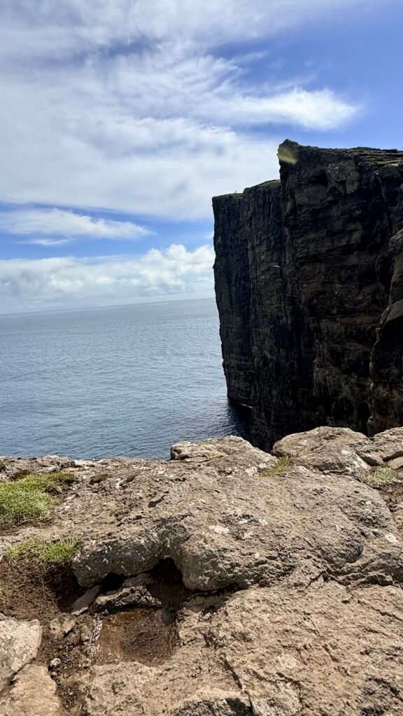
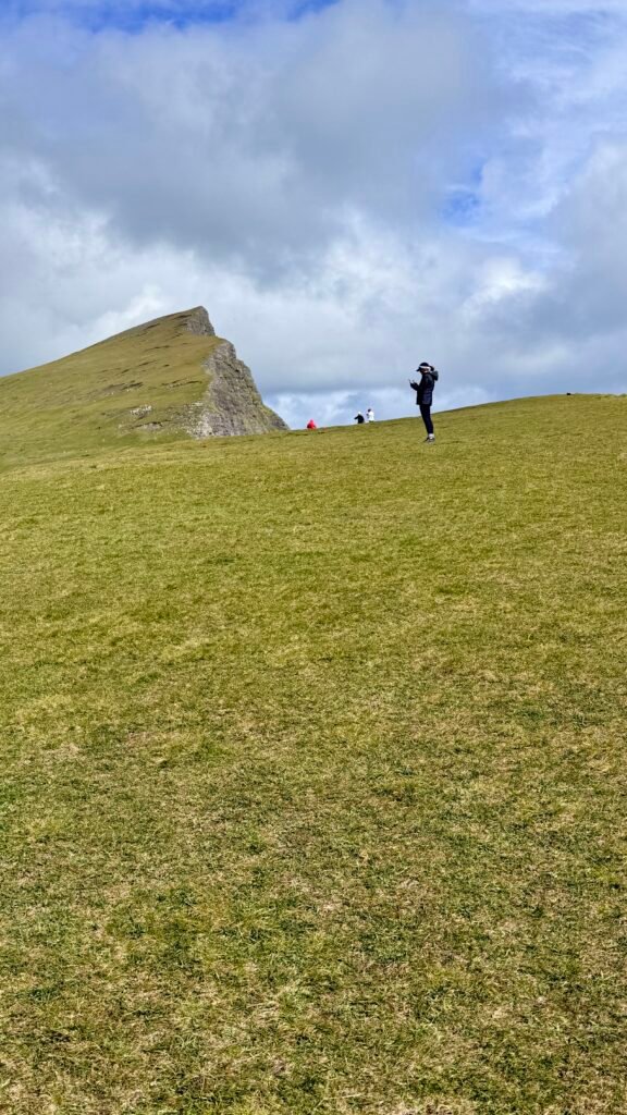
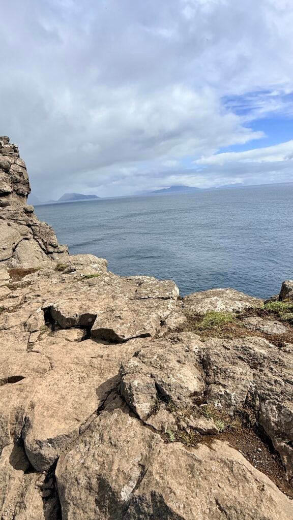
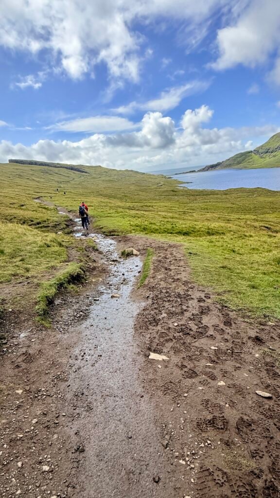
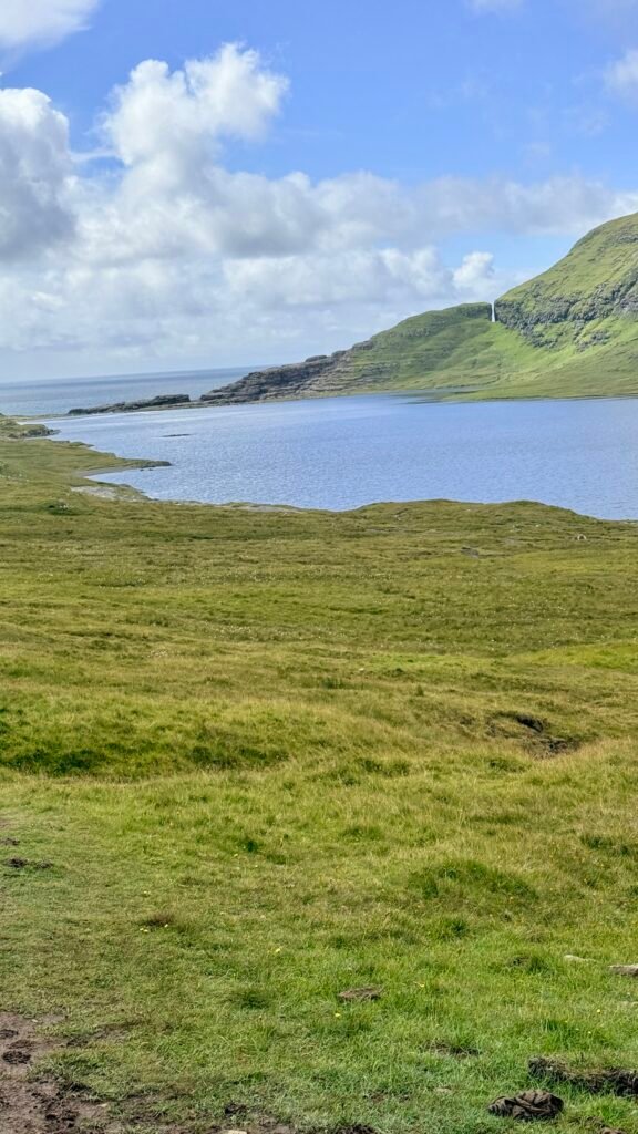
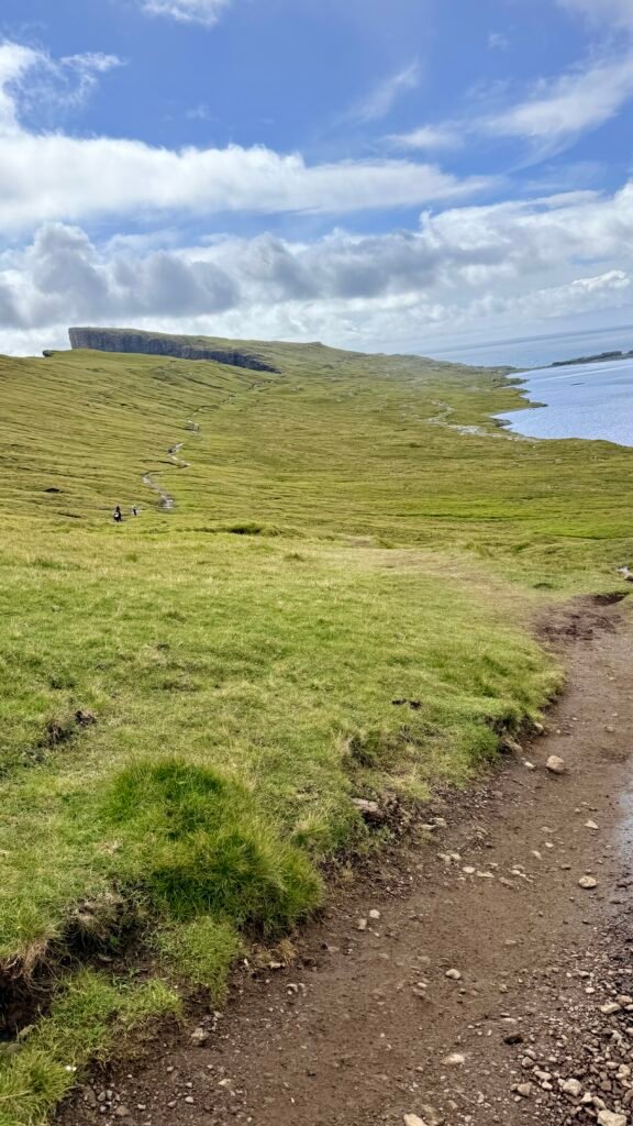
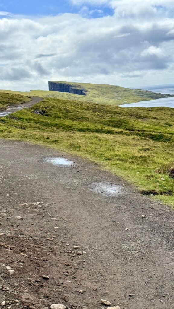
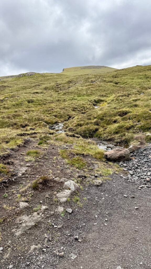
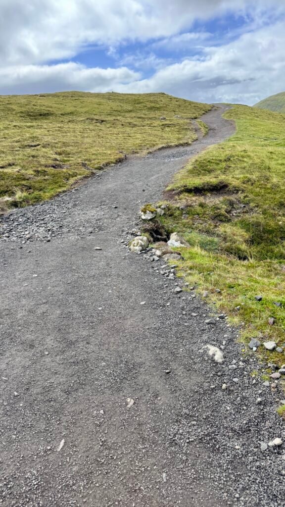
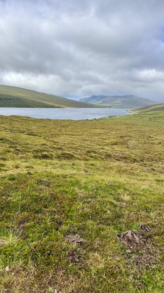
- Sørvágsvatn / Leitisvatn ⭐⭐⭐⭐⭐ – The largest lake in the Faroes. From the Trælanípa viewpoint, the lake appears dramatically elevated above the ocean. Loved this hike and the views.
- Bøur – Beautiful traditional village with turf-roofed houses and views toward the offshore sea stacks.
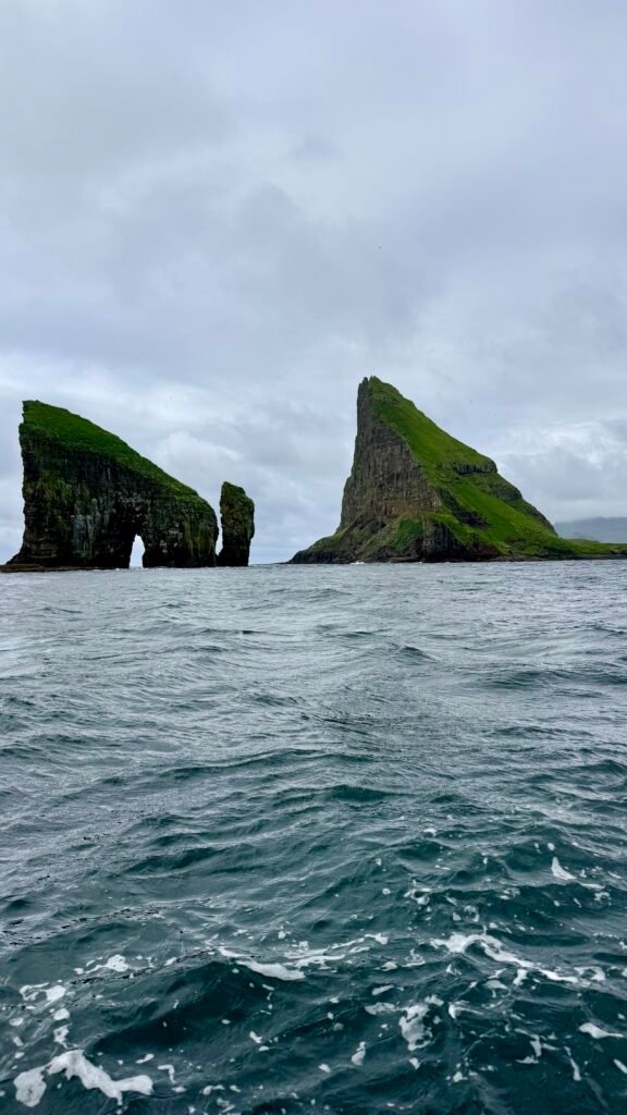
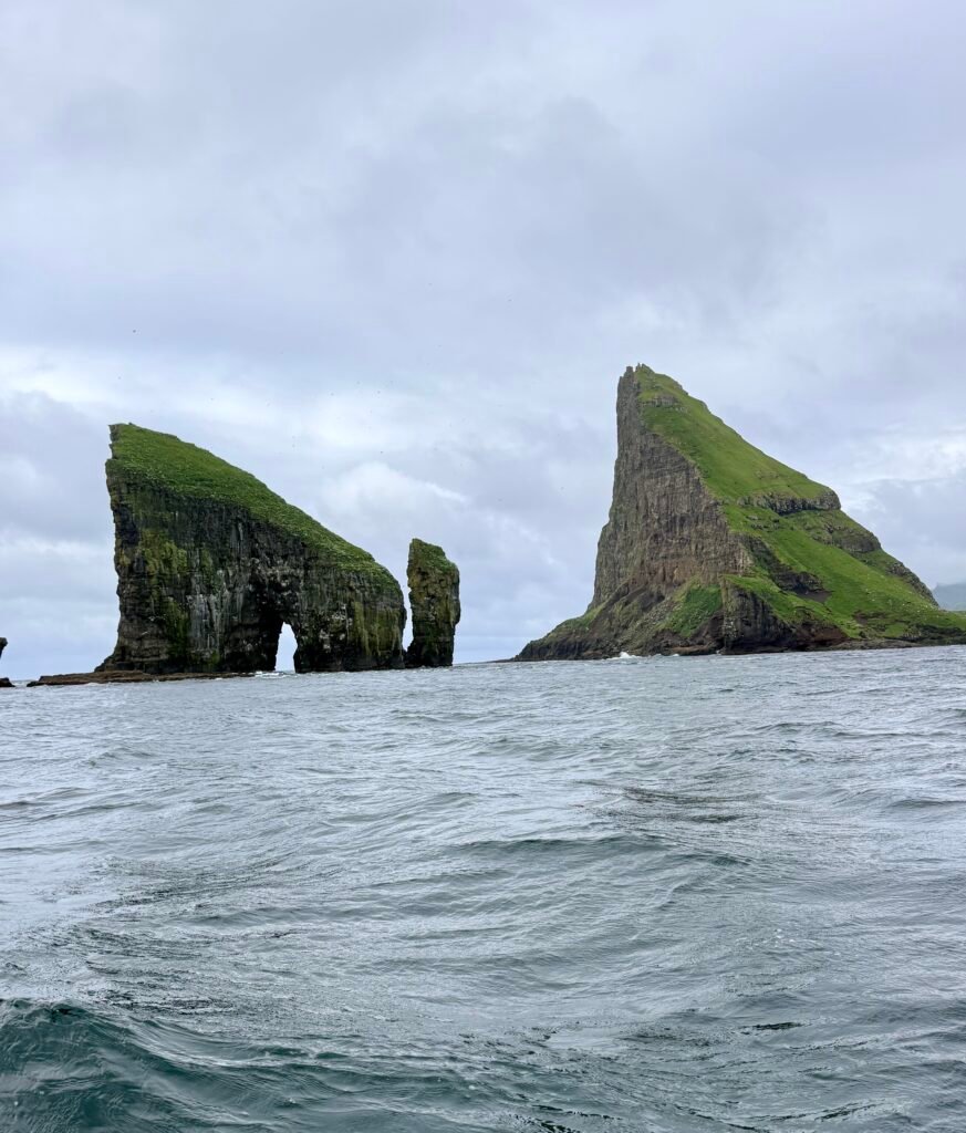
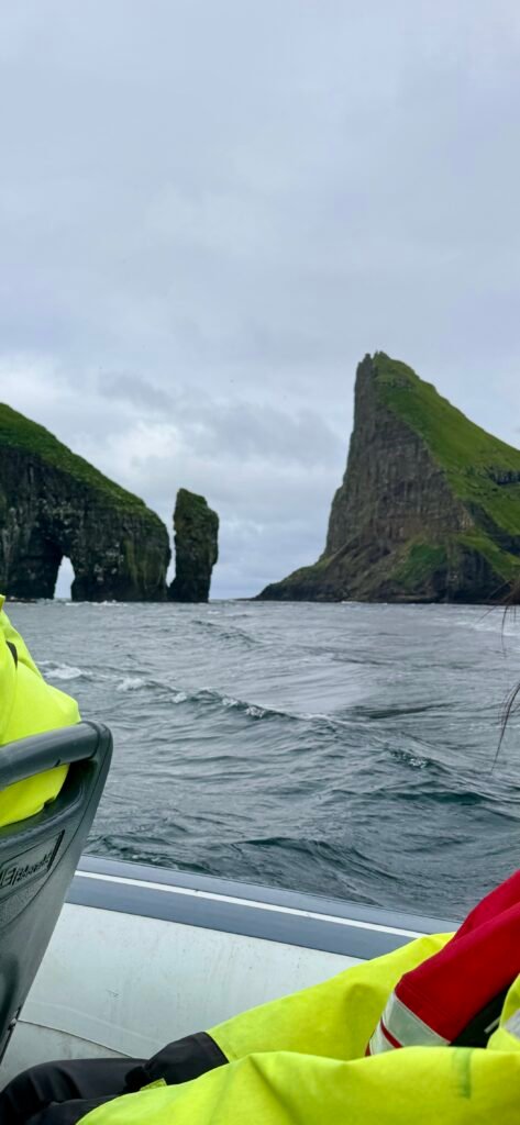
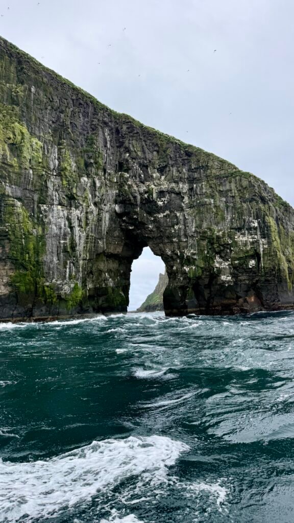
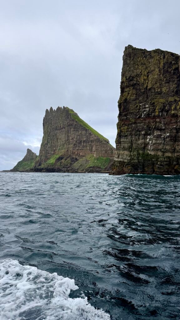
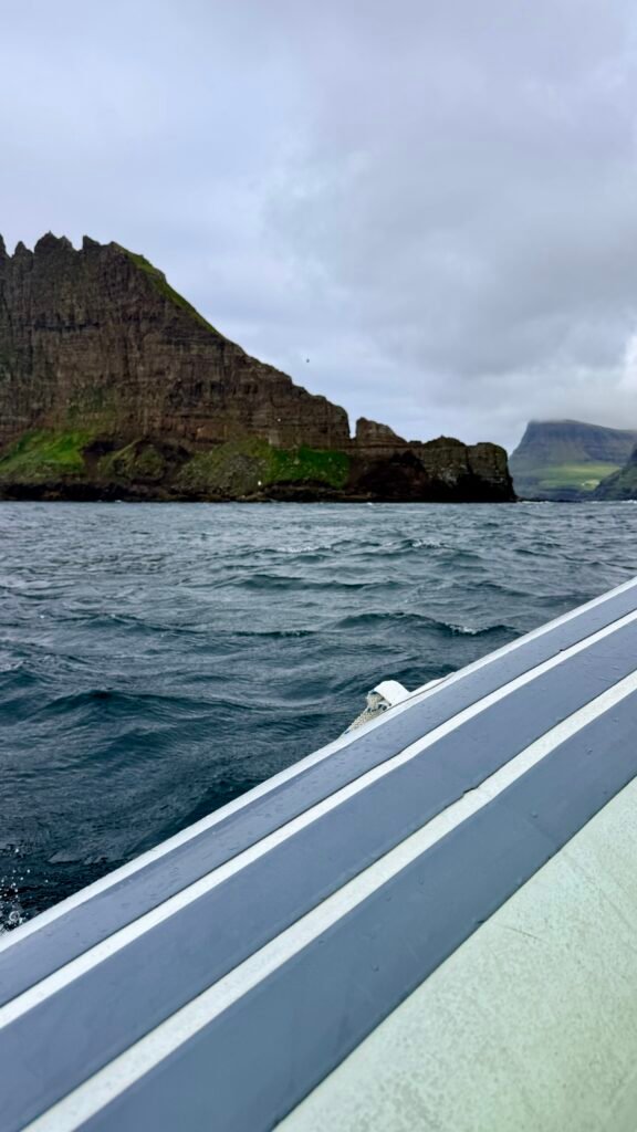
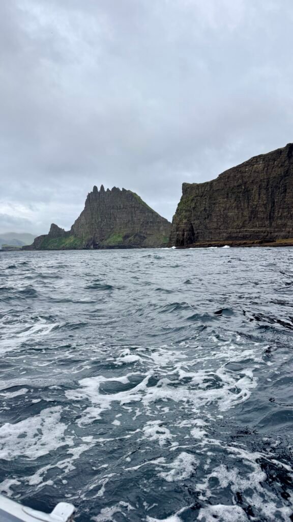
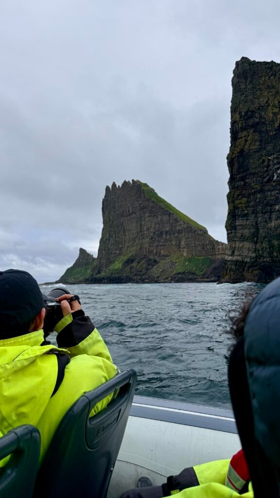
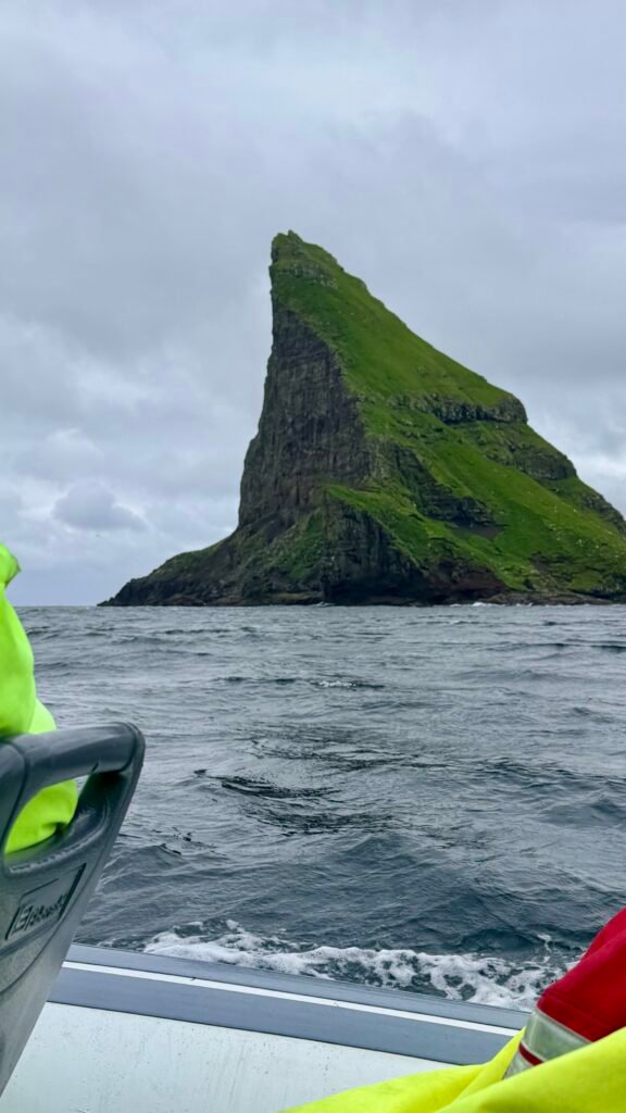
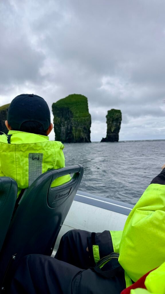
- Drangarnir – The spectacular arched sea stack and nearby Tindhólmur. Hiking access requires planning and, depending on current rules, a guide.
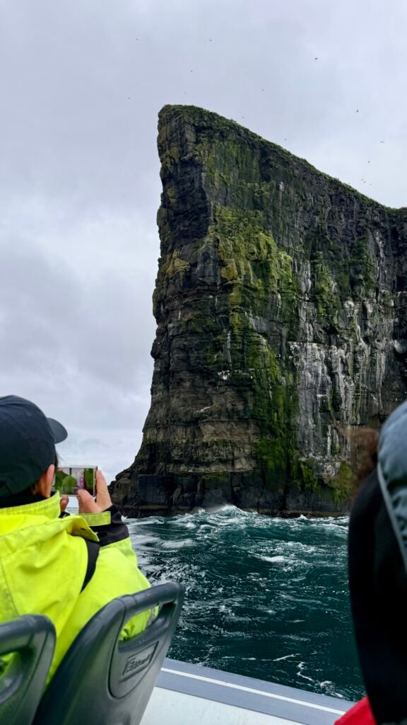
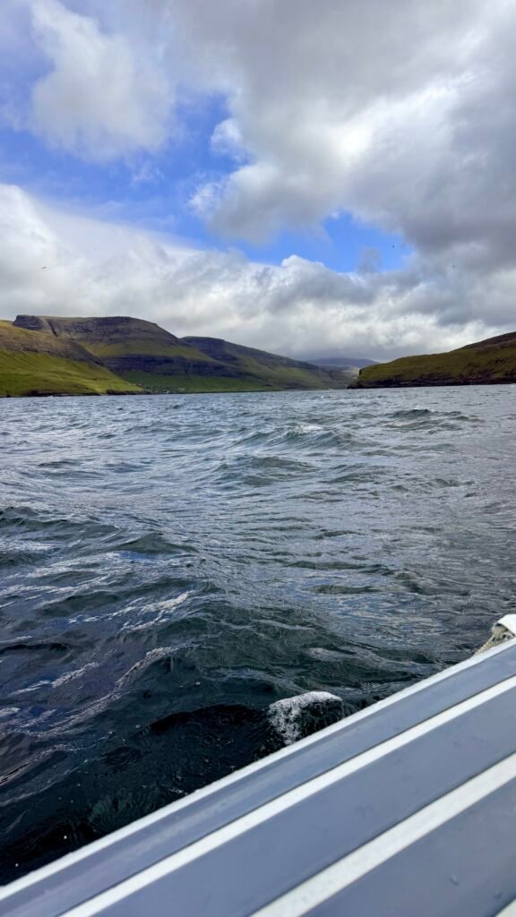
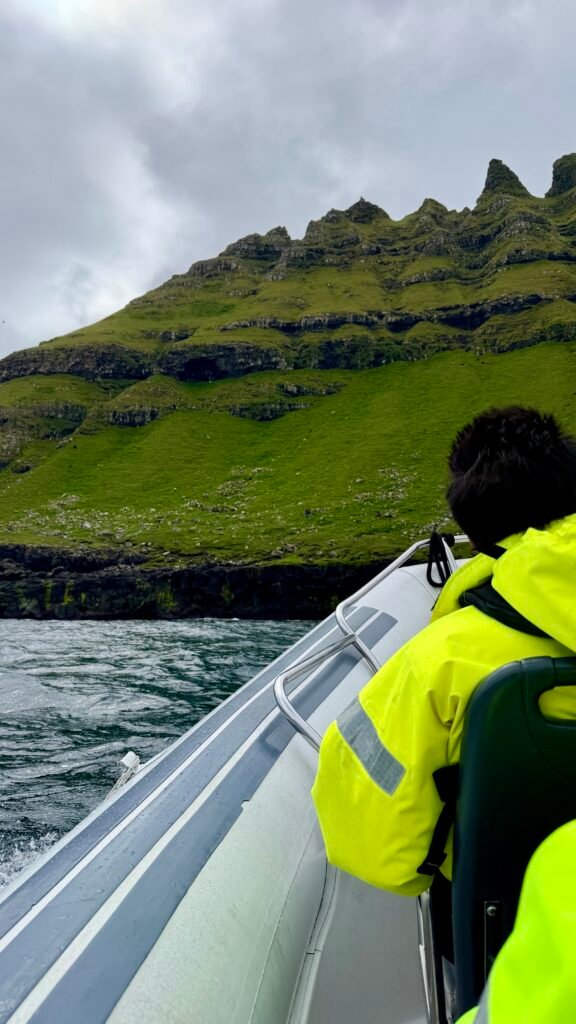

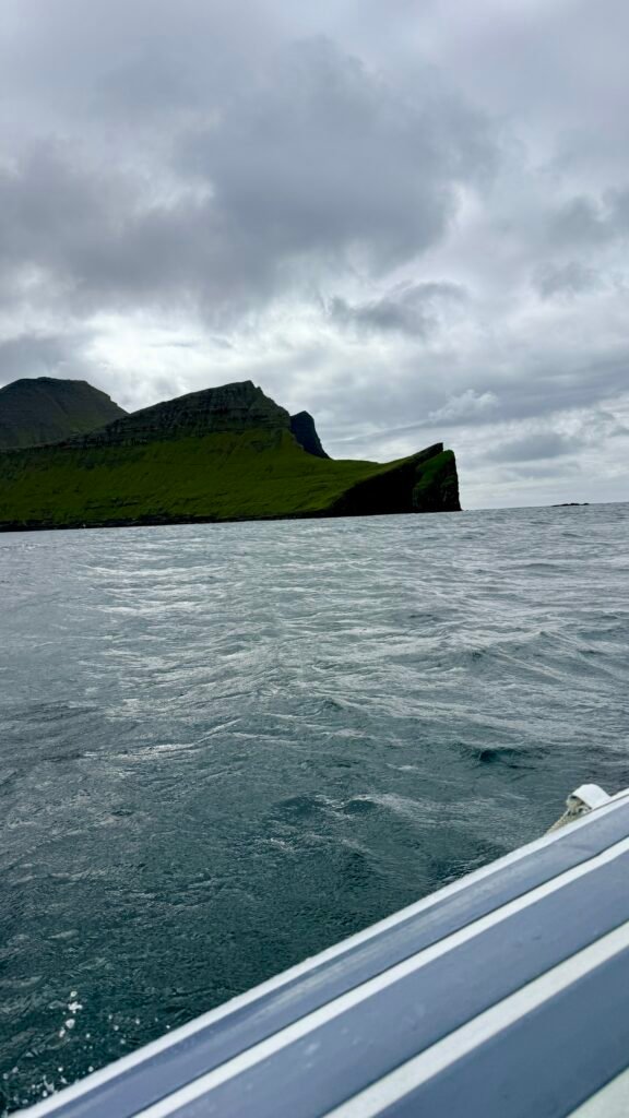
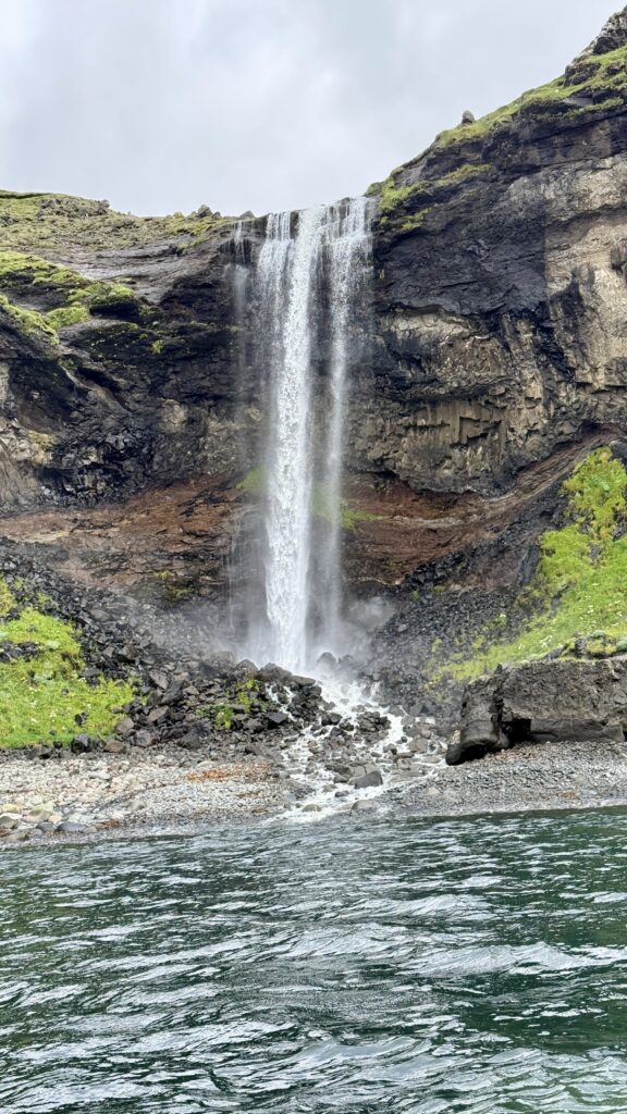
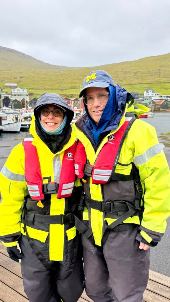
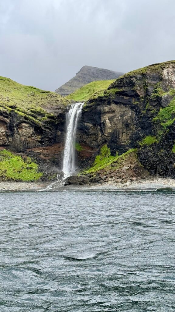
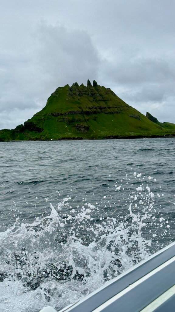
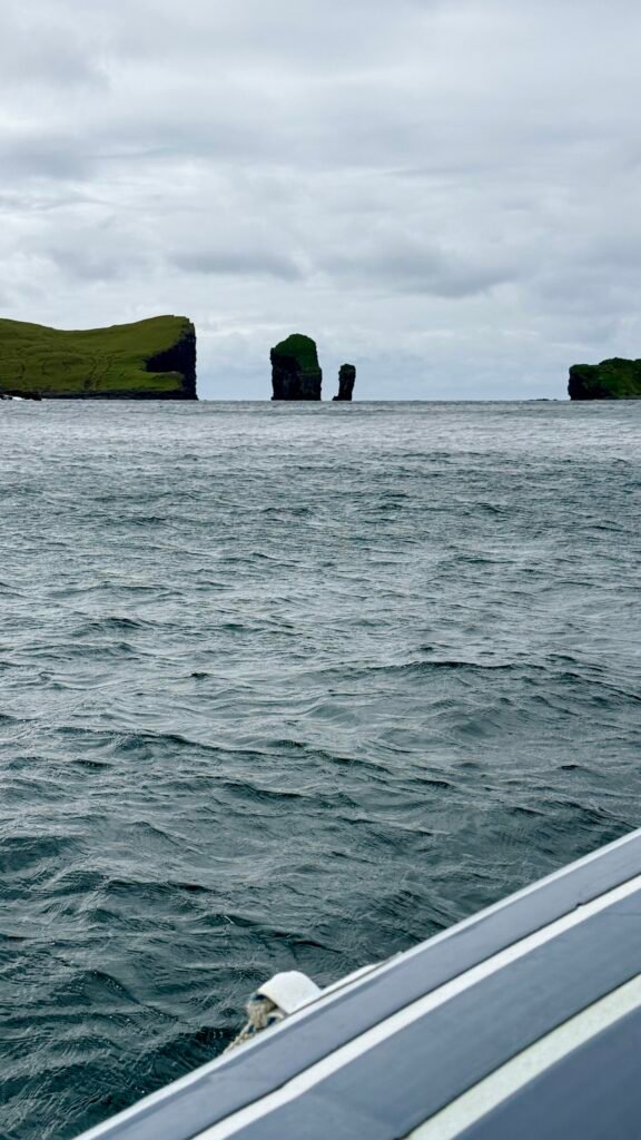
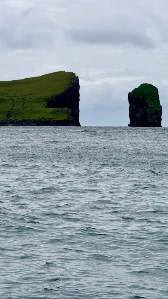
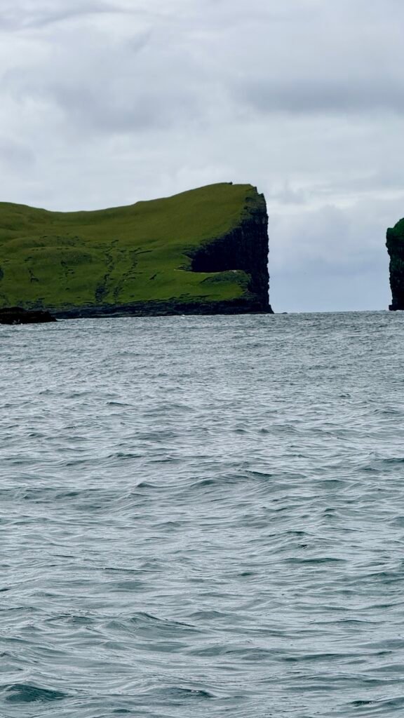
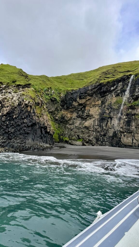
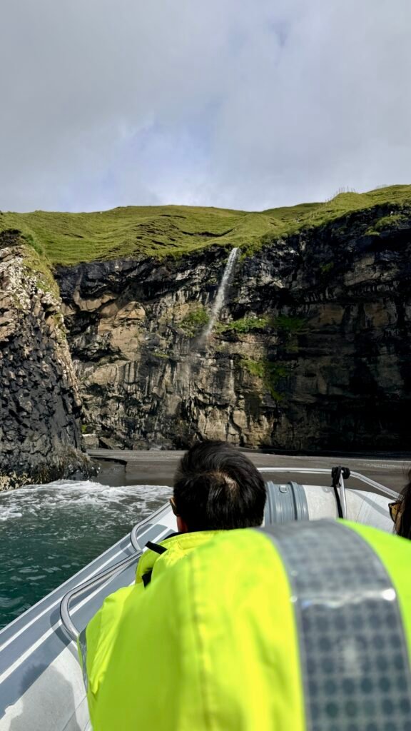
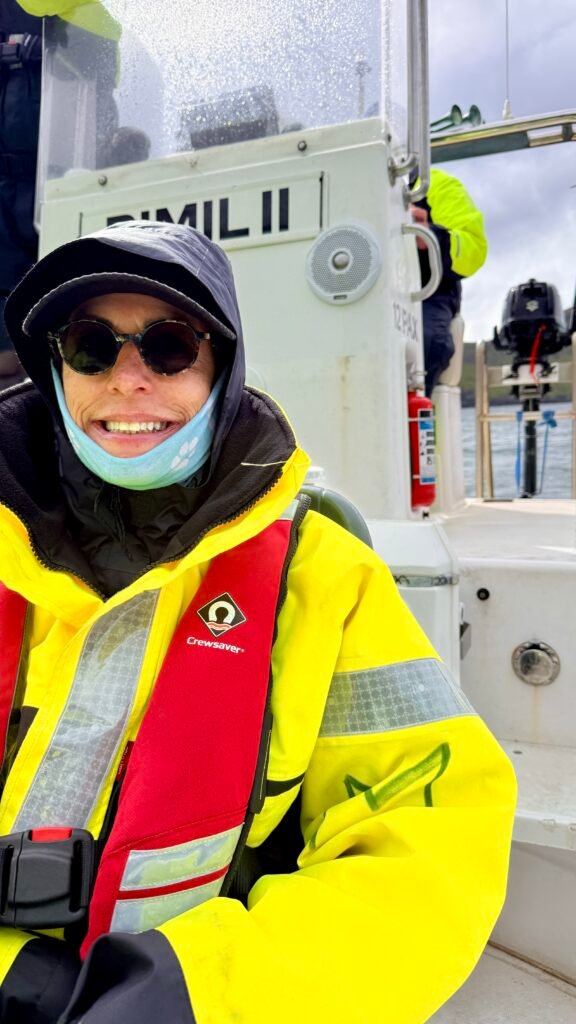
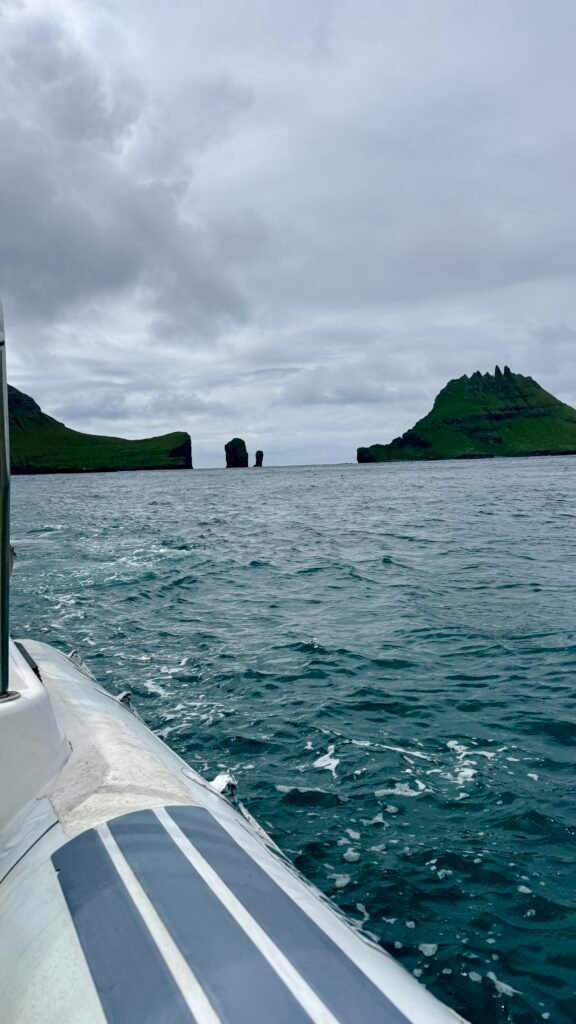
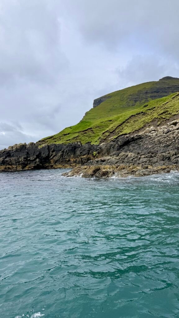
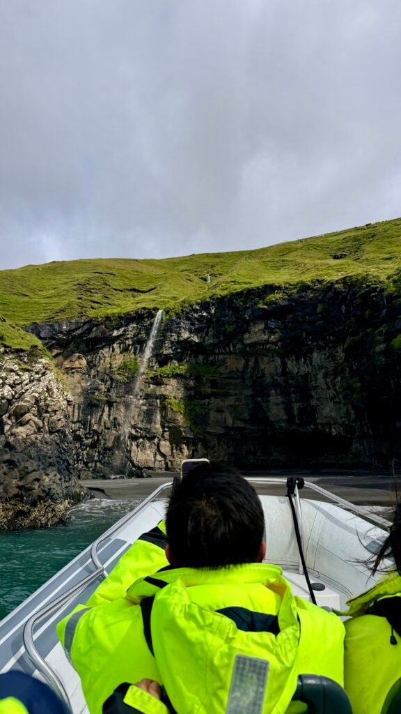
- Trøllkonufingur – The “Witch’s Finger,” a distinctive rock formation near Sandavágur.
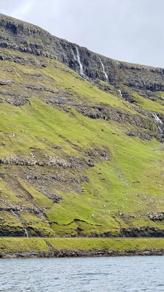
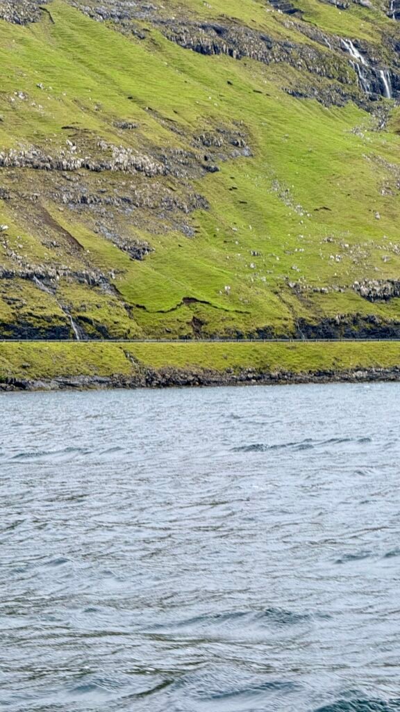
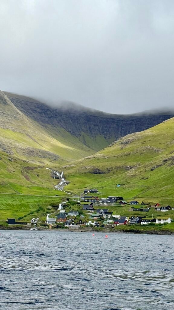
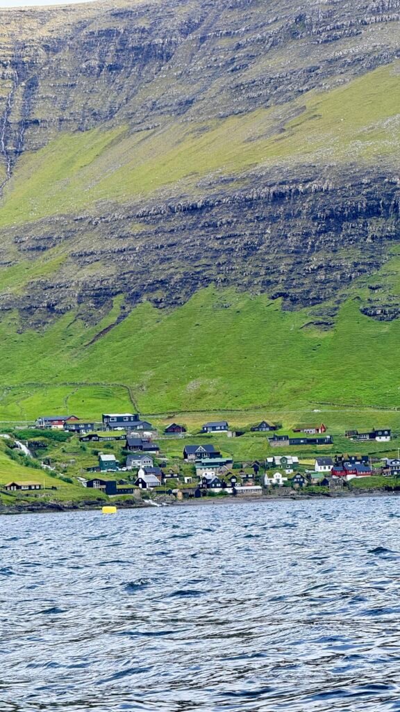
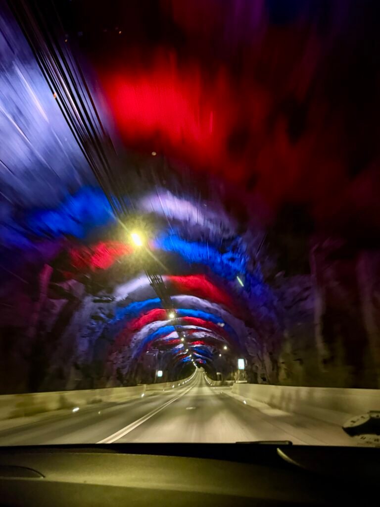
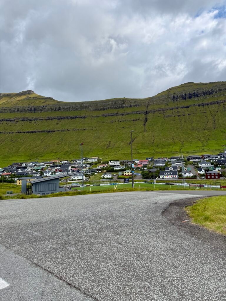
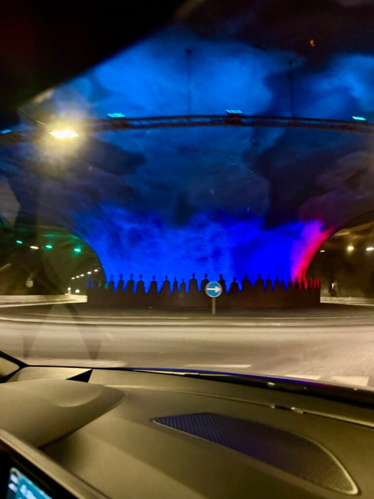
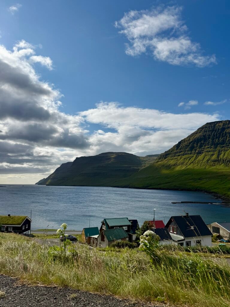
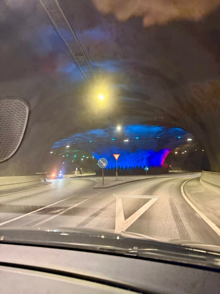
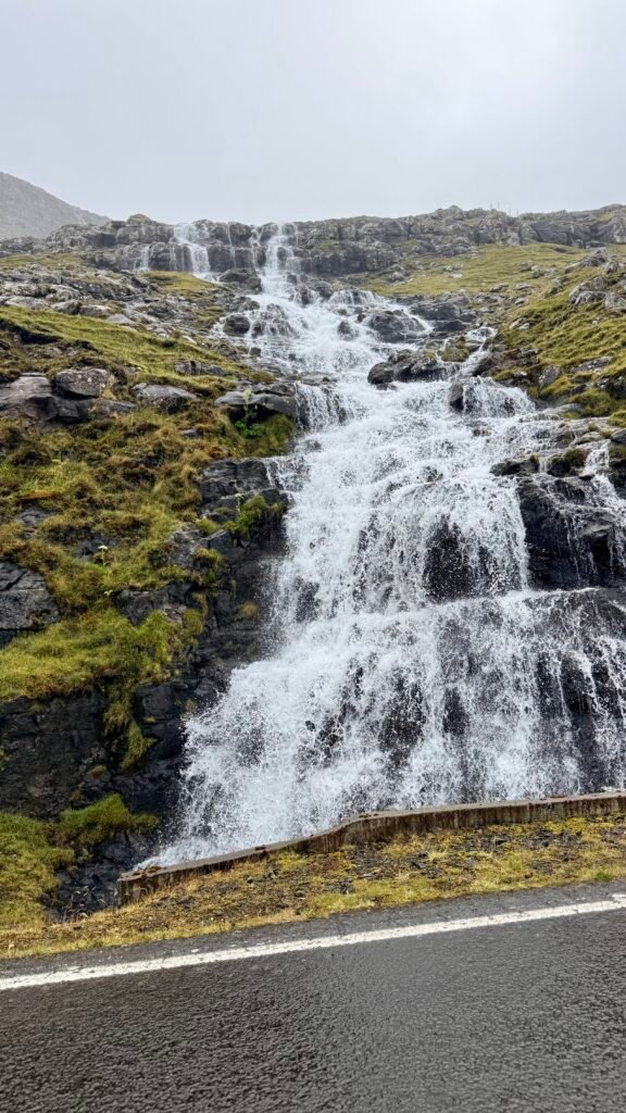
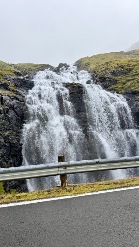
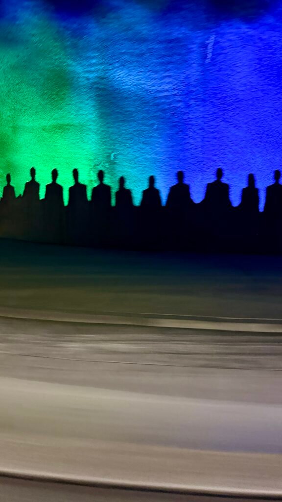
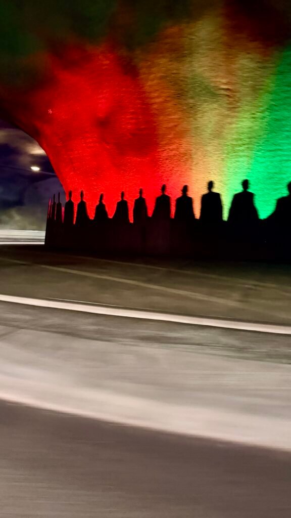
As soon as you leave the airport, you realize this place is special. The views everywhere, the 100’s of waterfalls. And perfect cell service even in the most remote areas. The underground tunnels are a treat, which lights and even a roundabout.
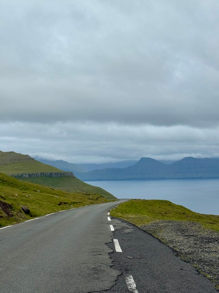
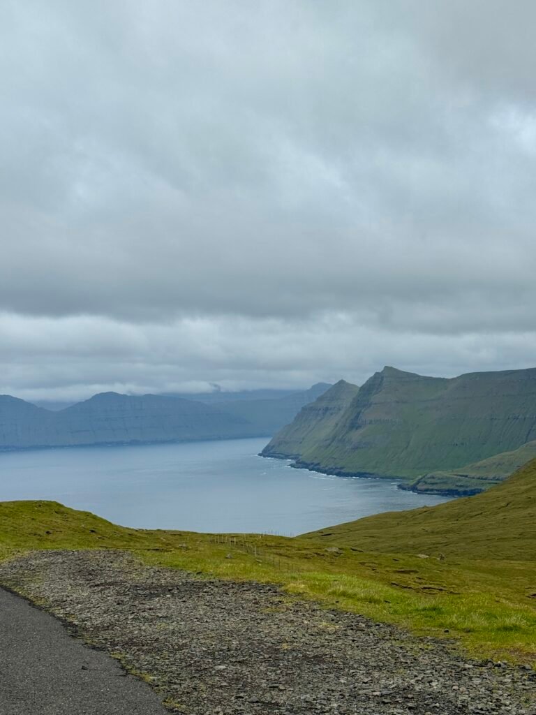
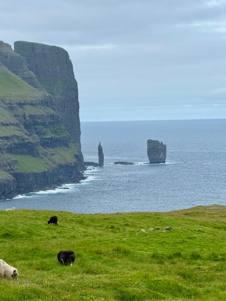
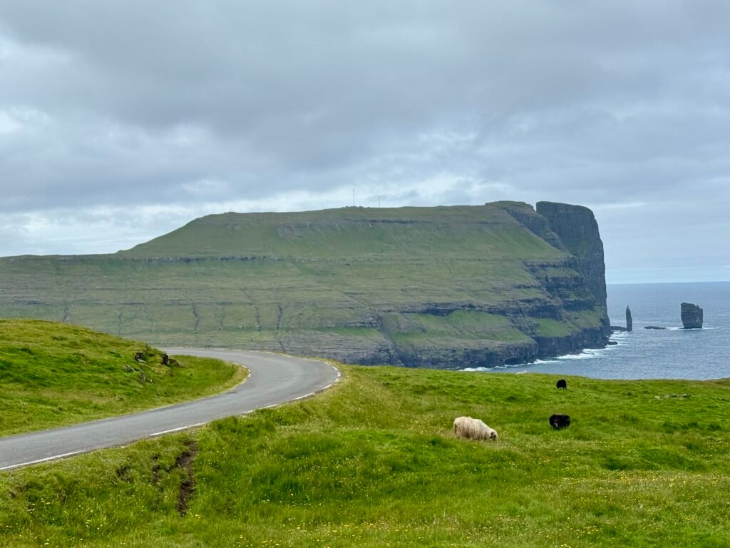
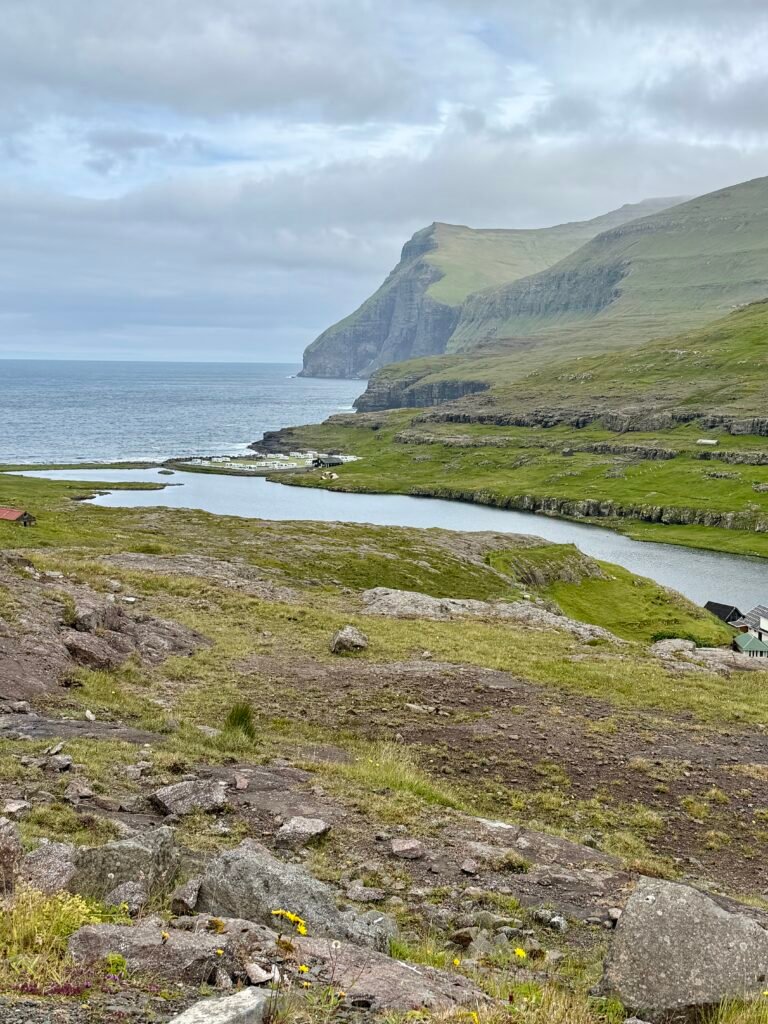
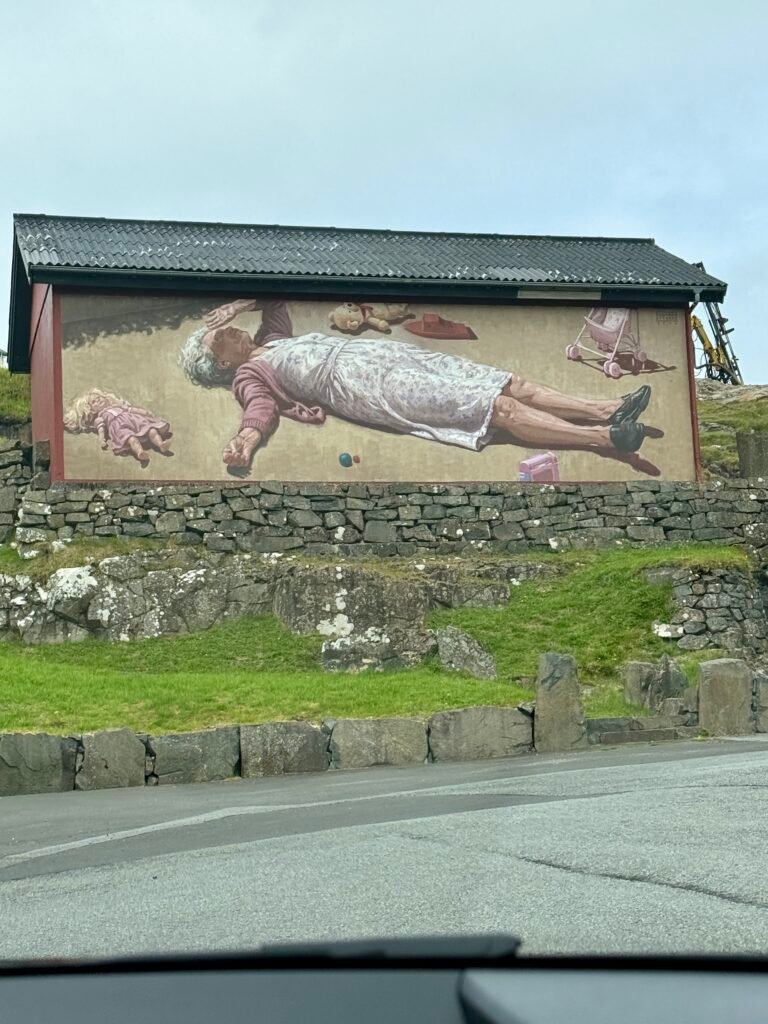
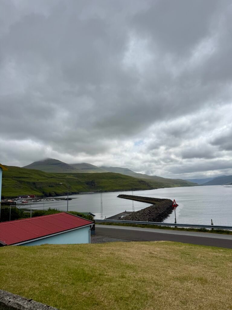
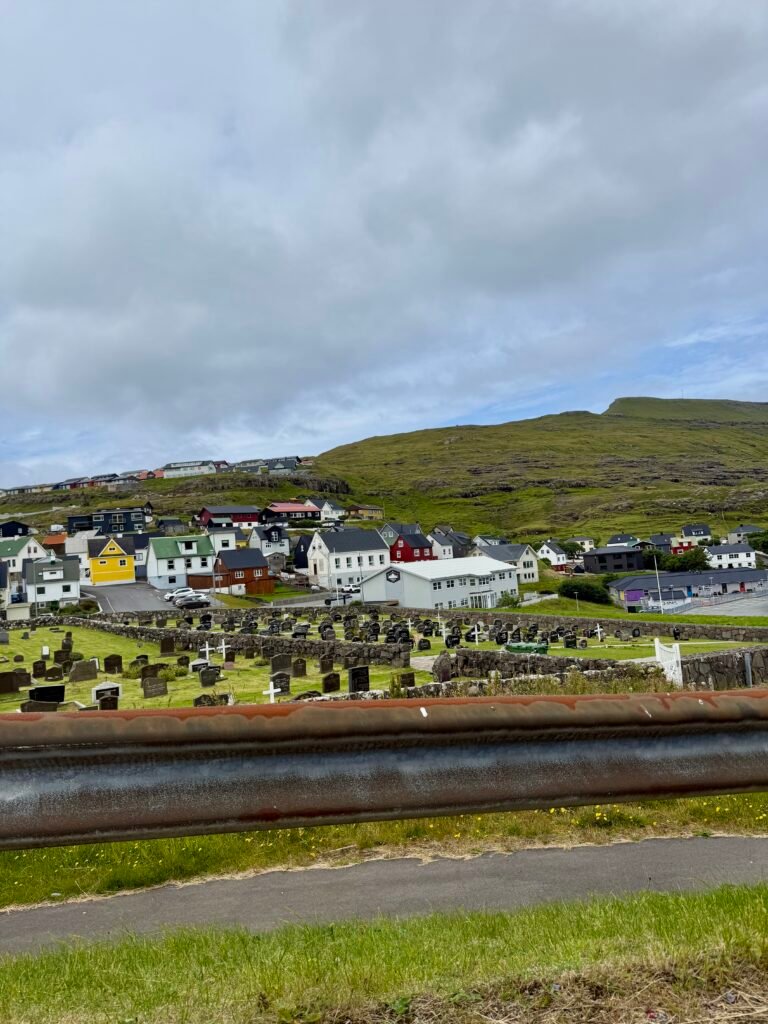
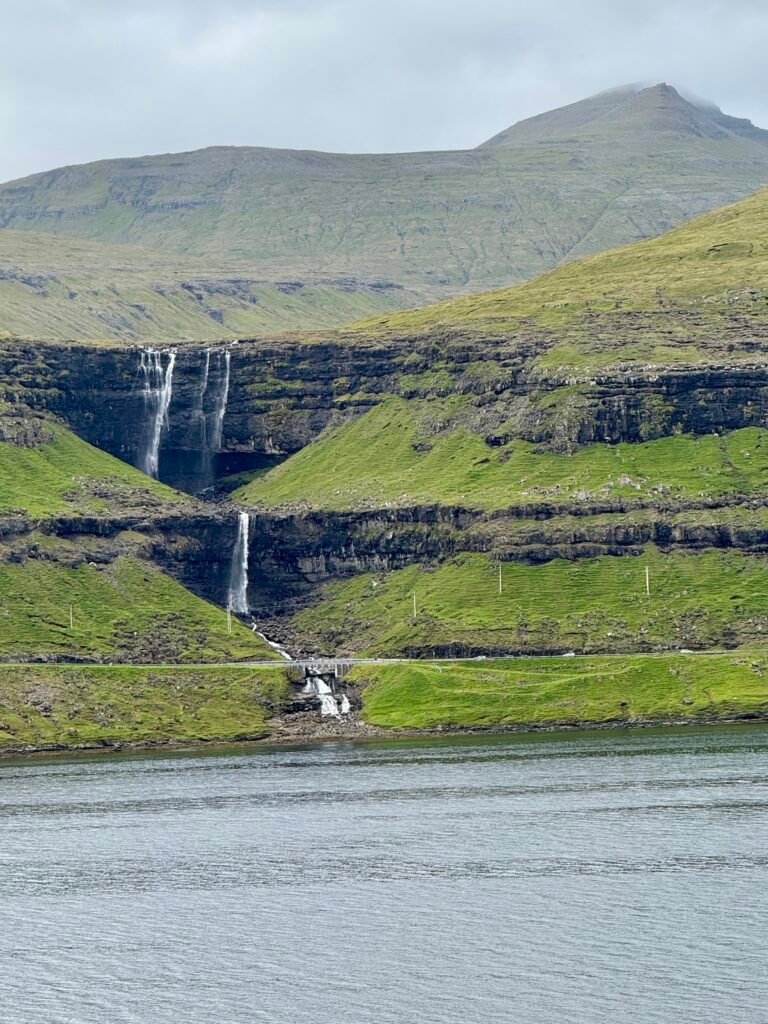
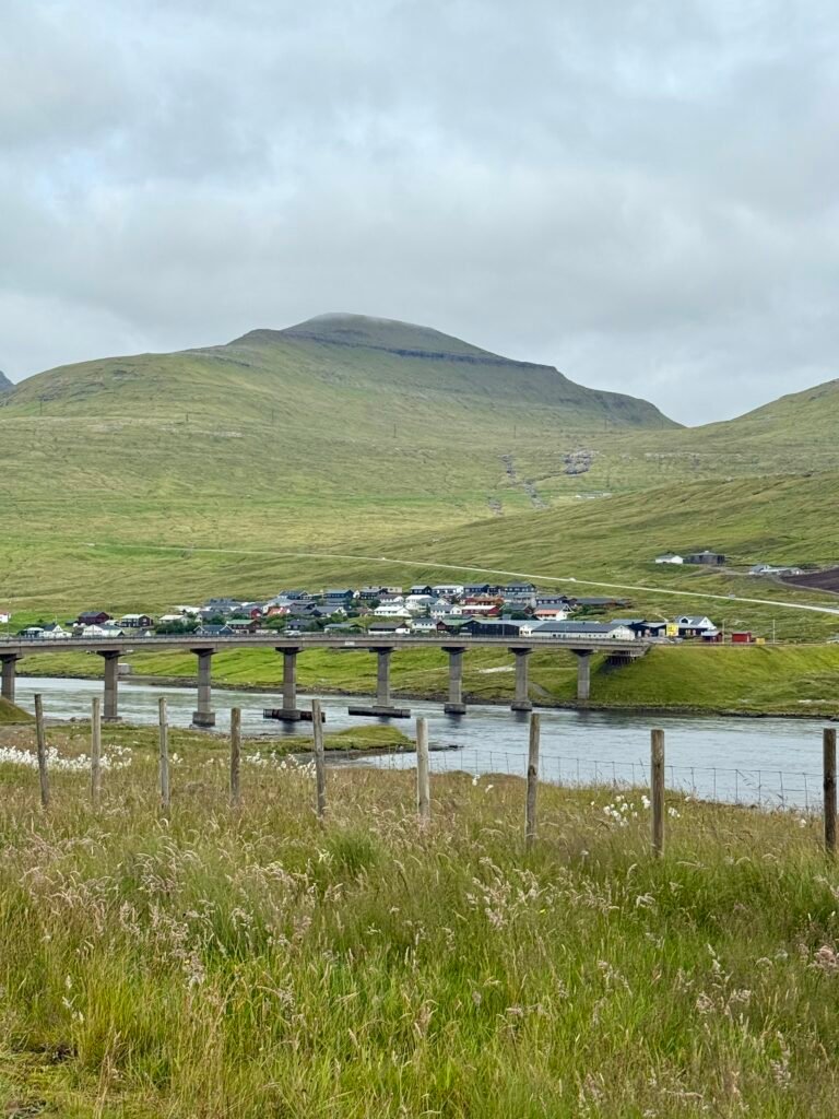
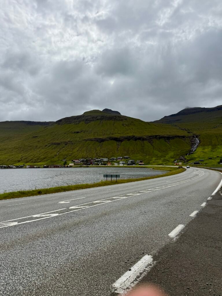
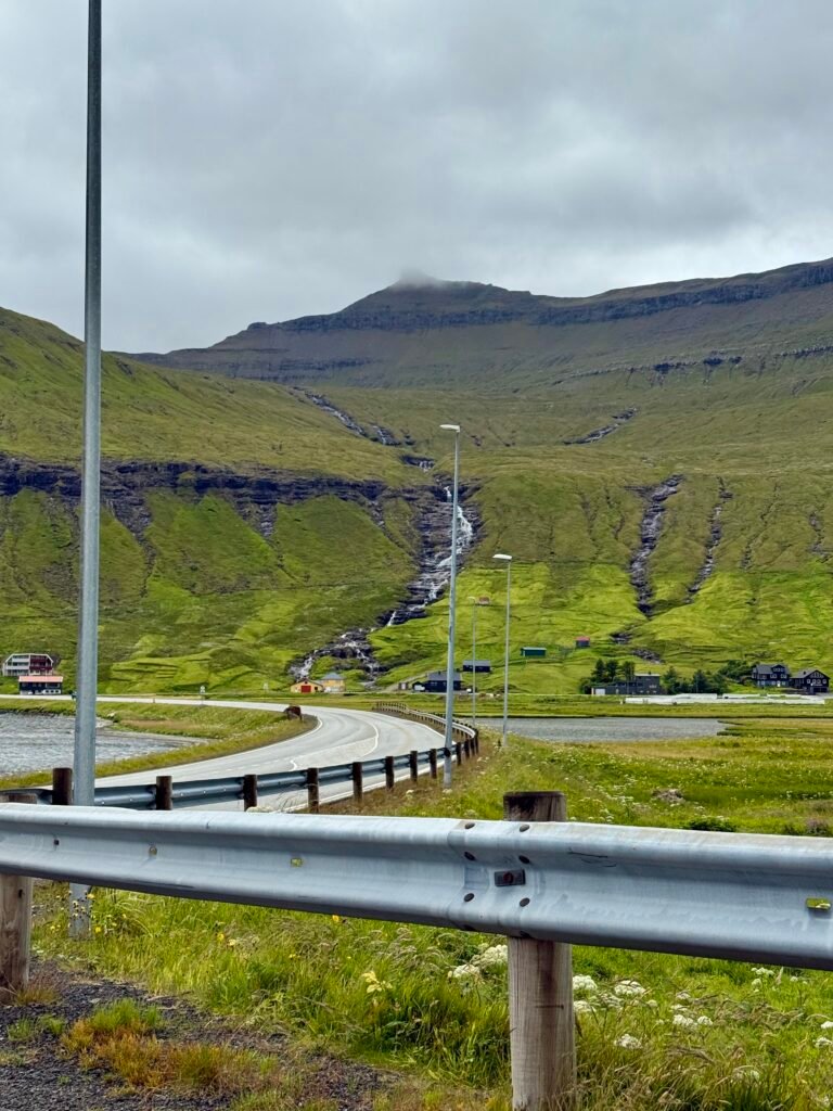
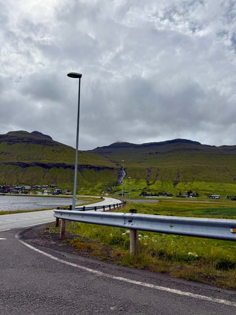
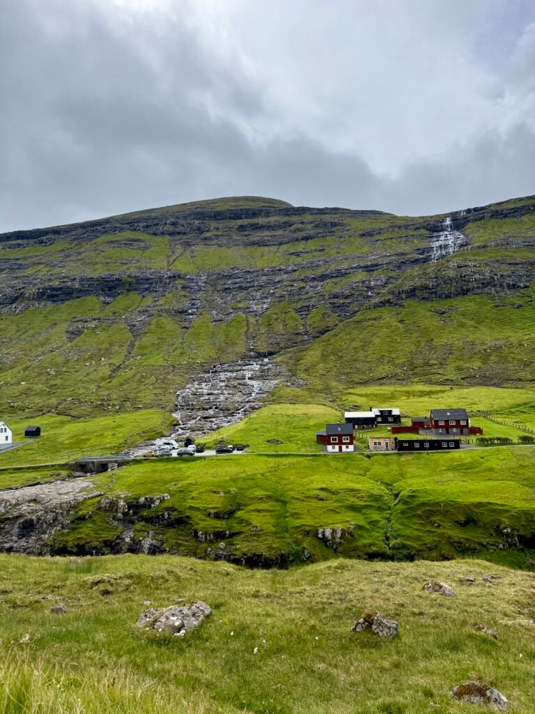
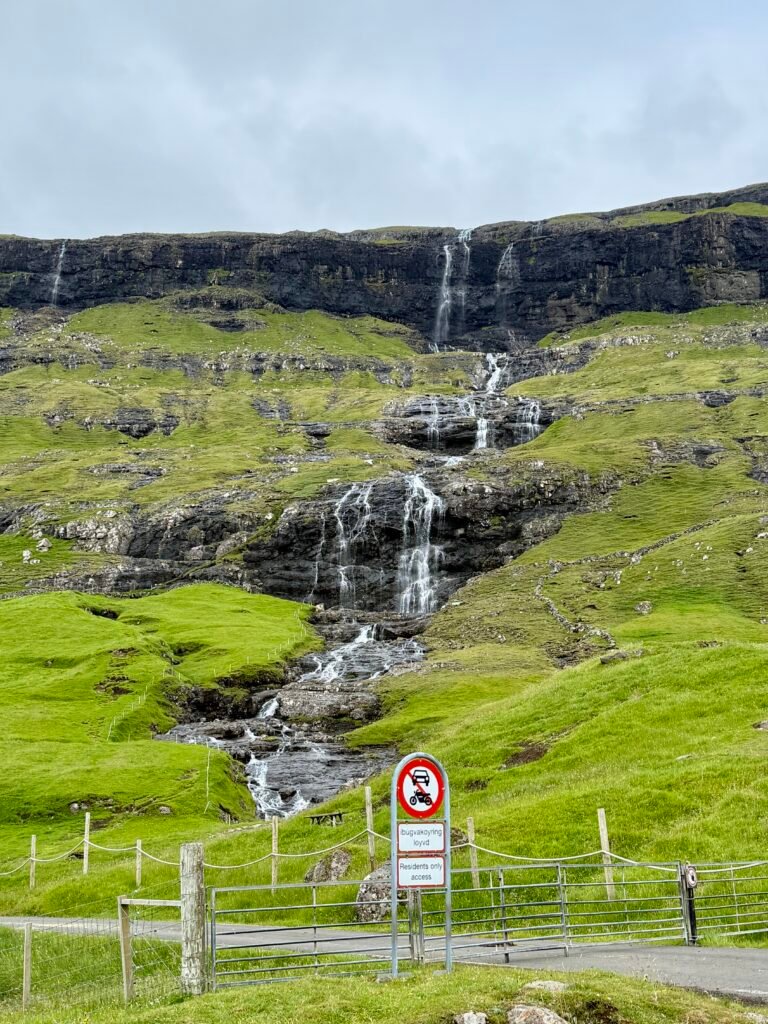
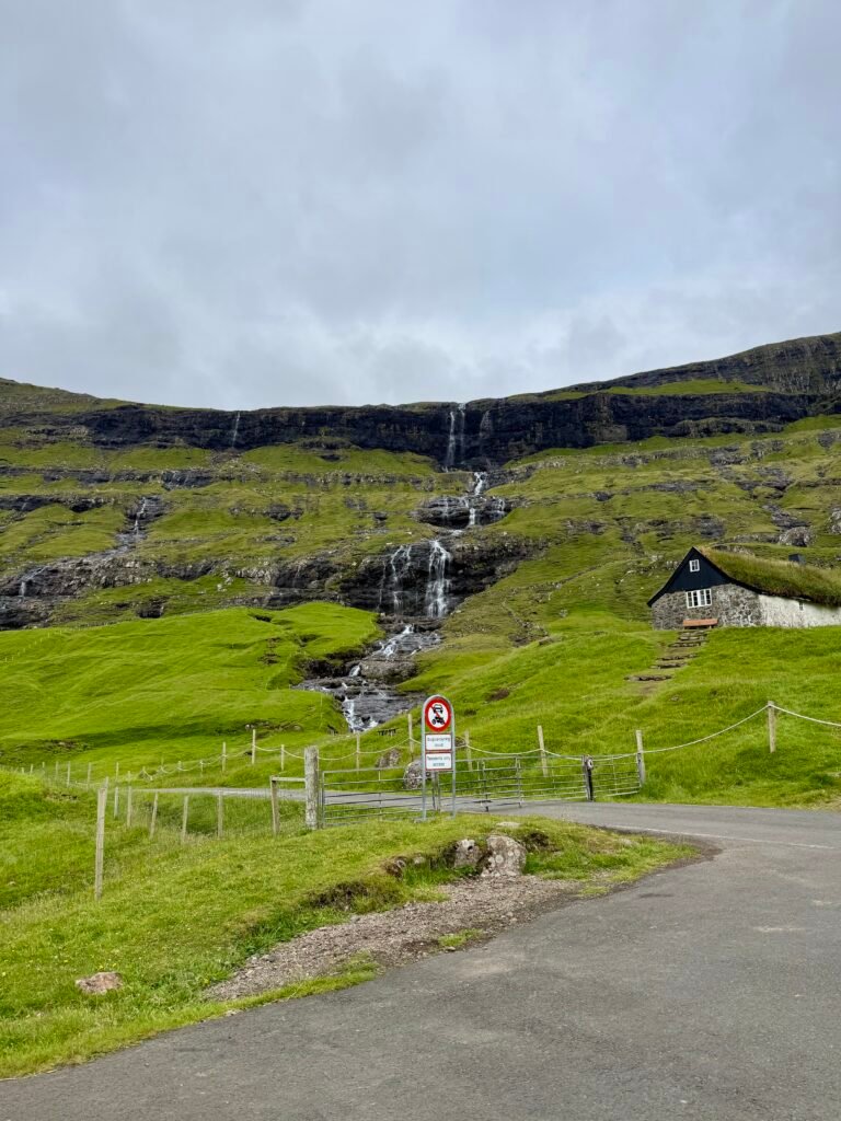
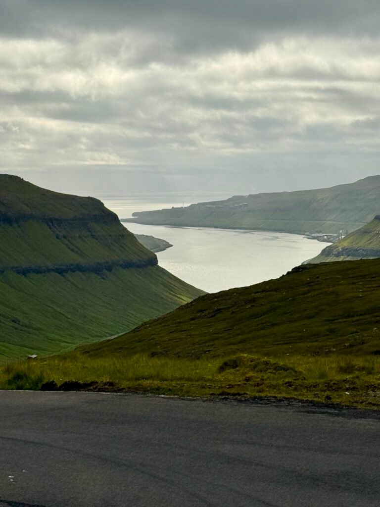
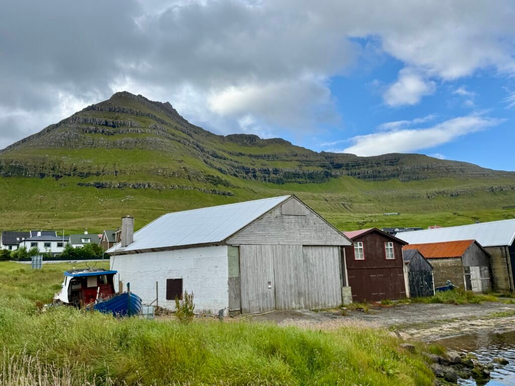
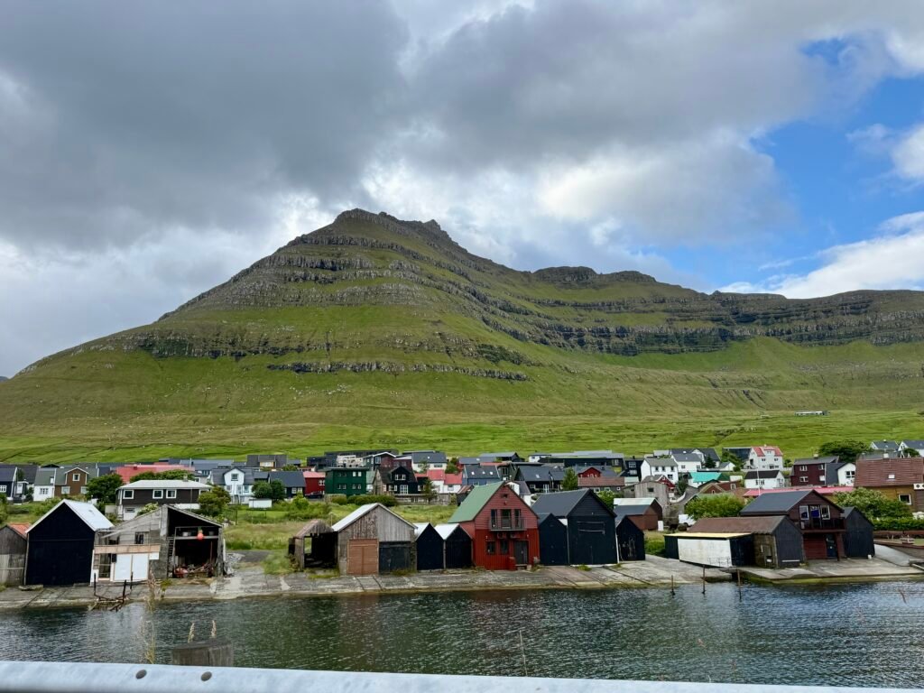
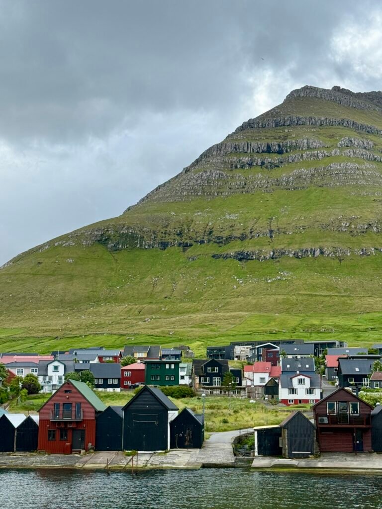
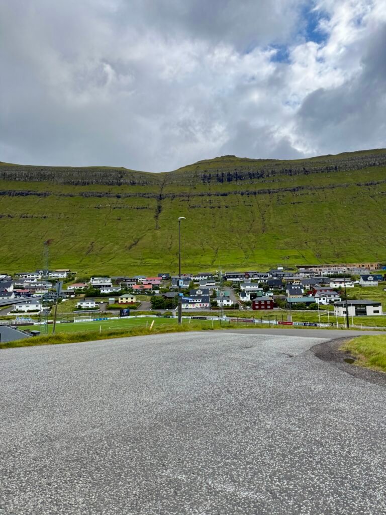
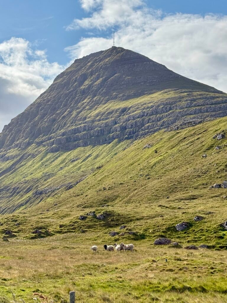
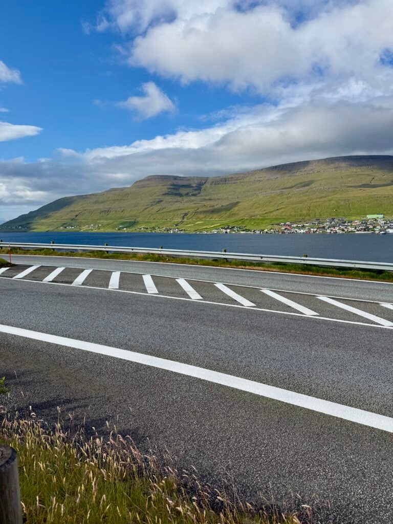
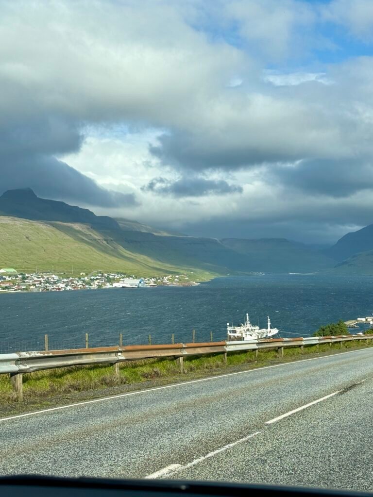
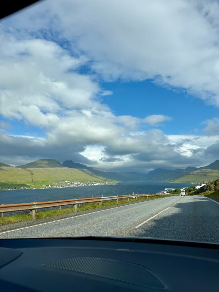
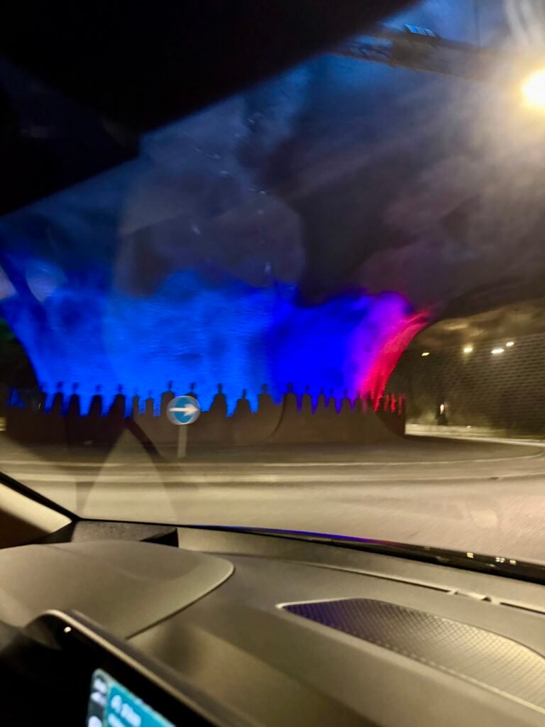
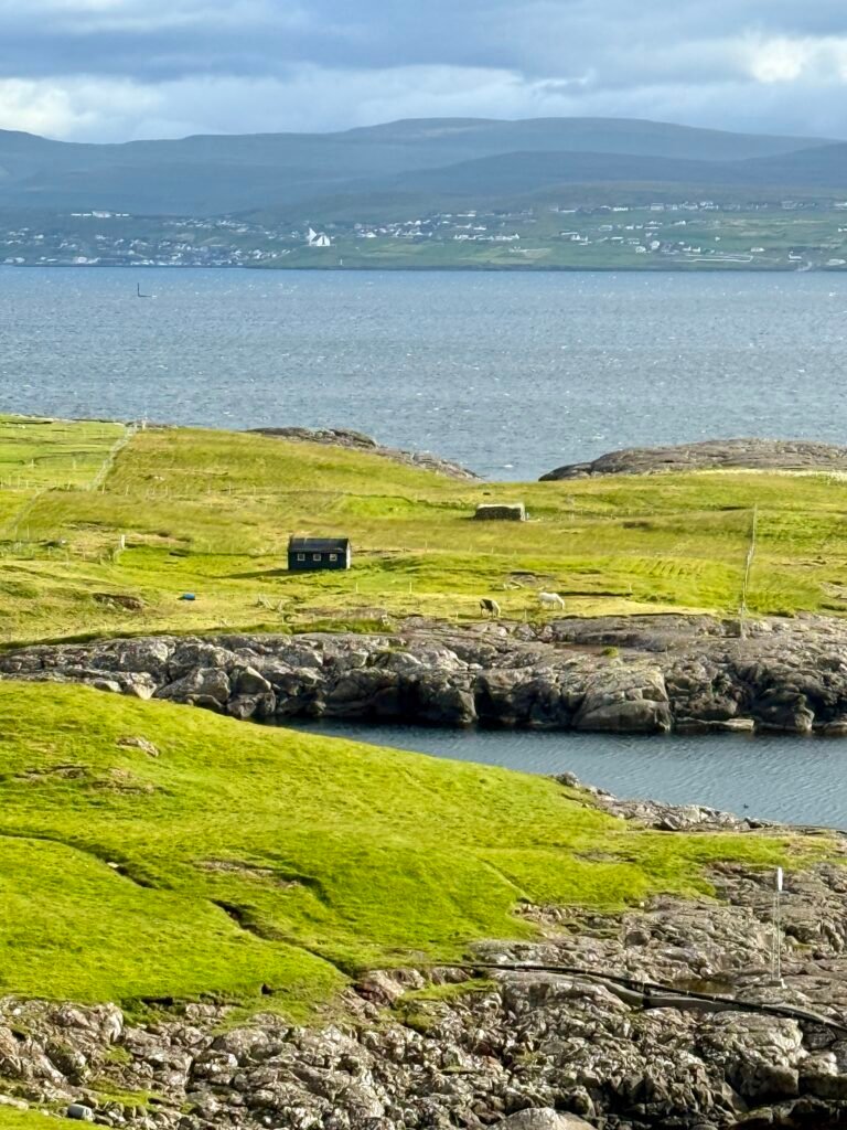
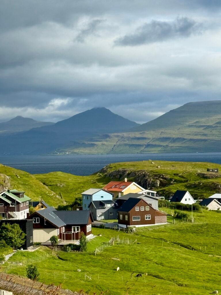
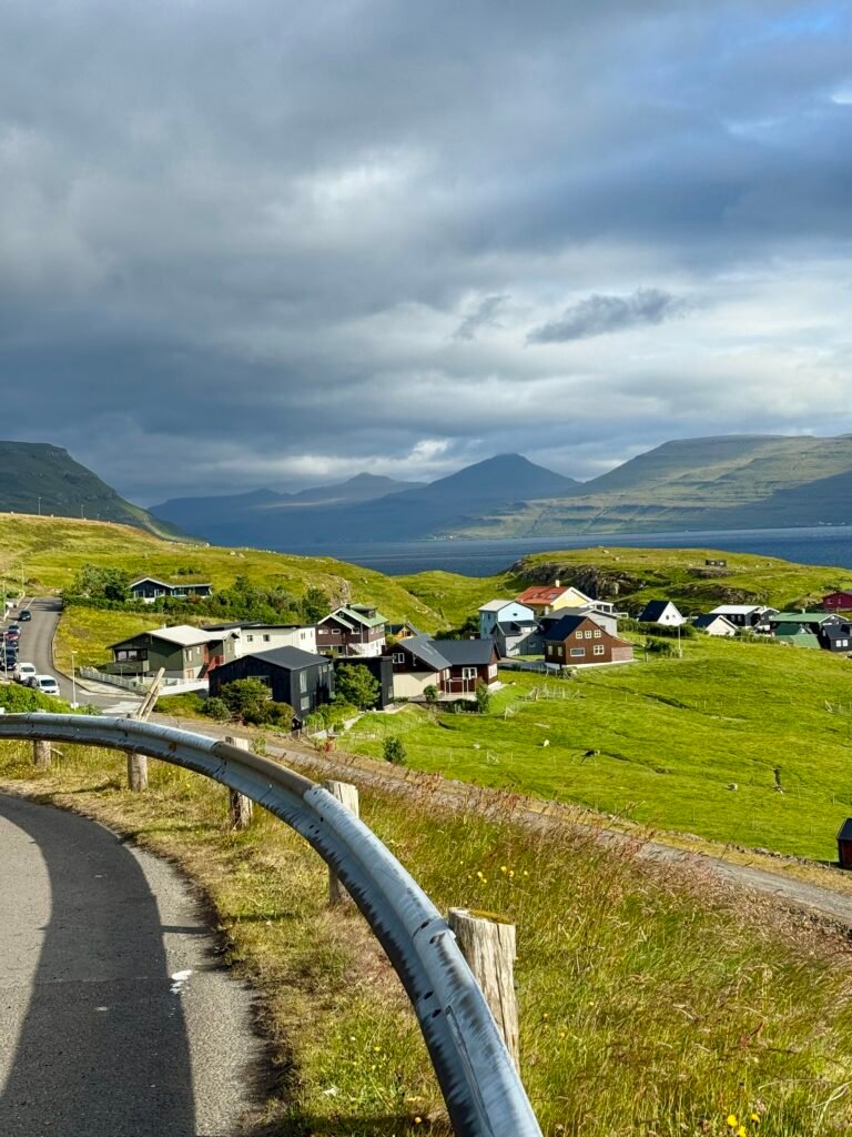
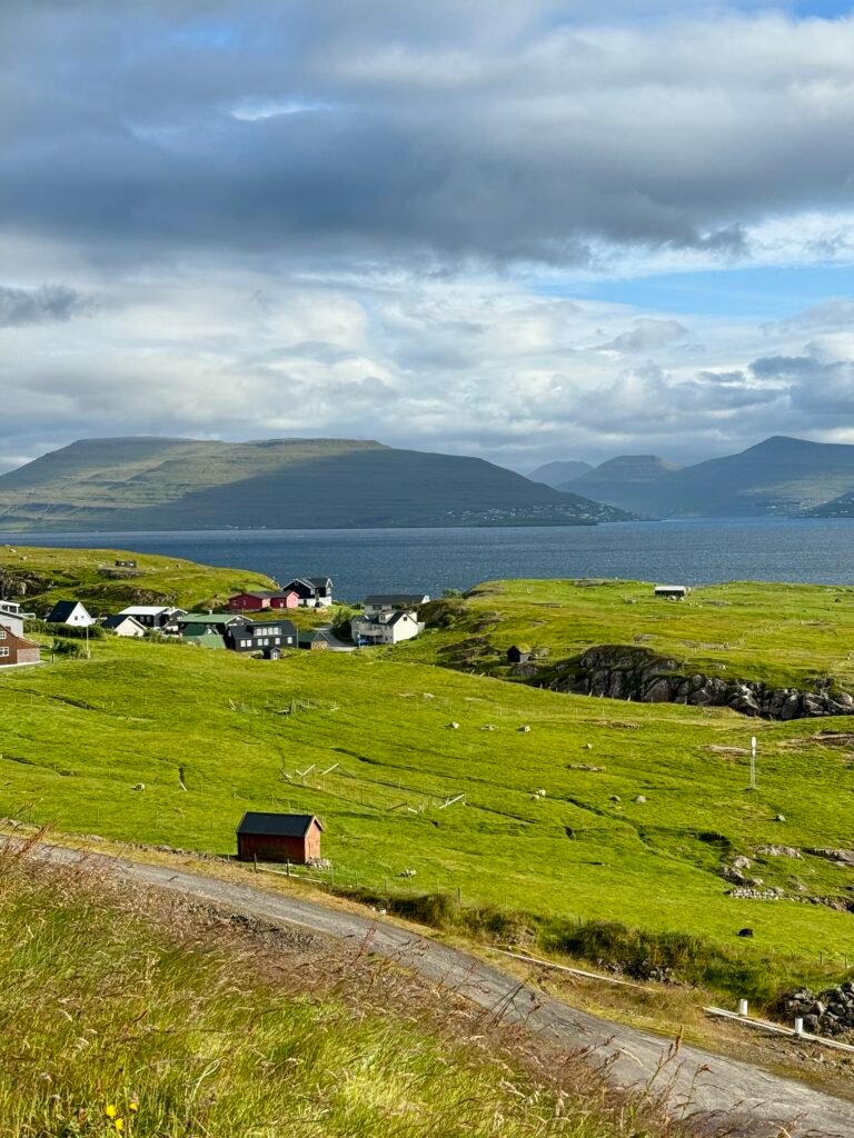
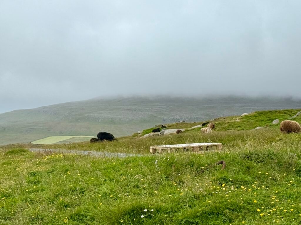
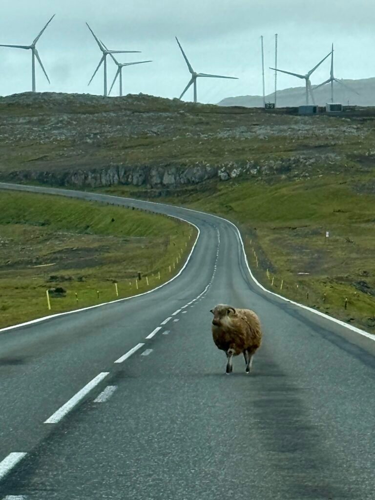
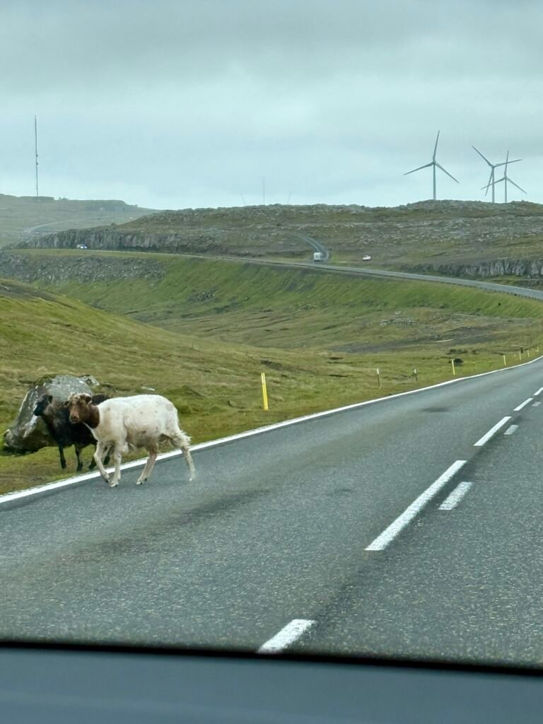
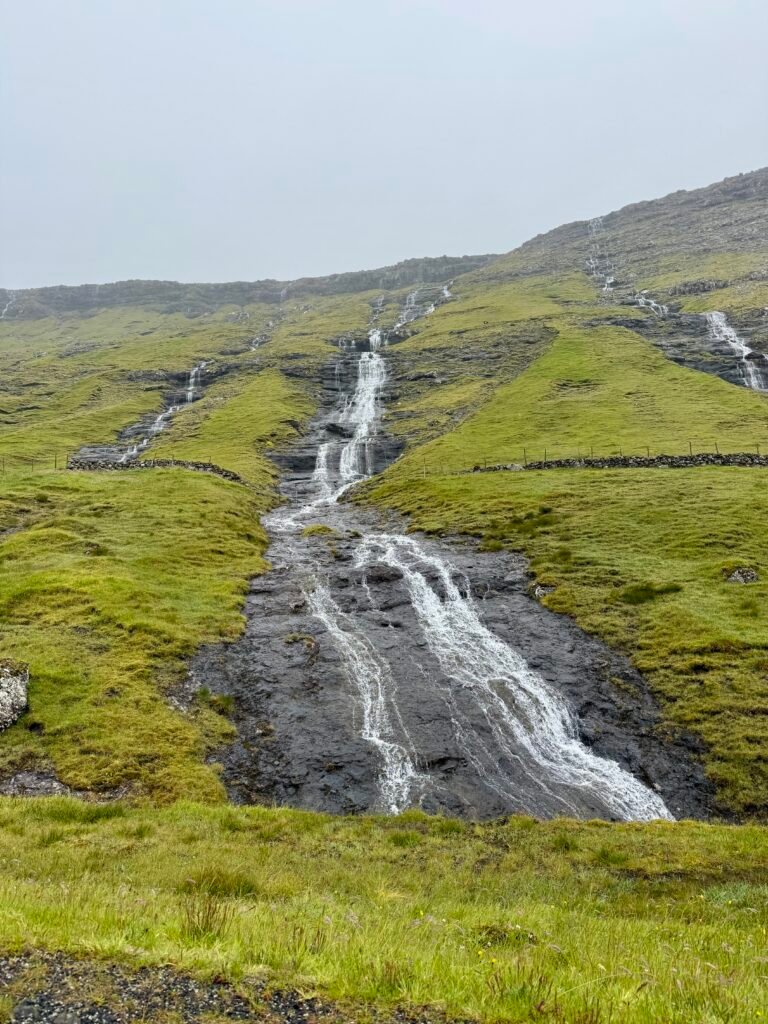
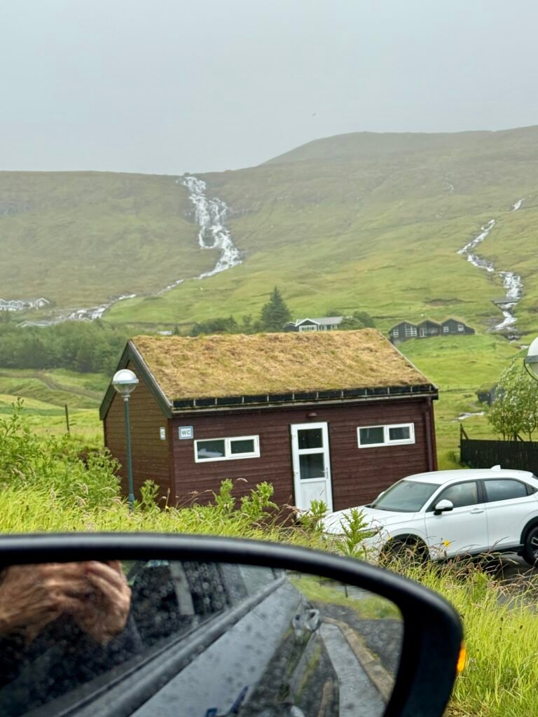
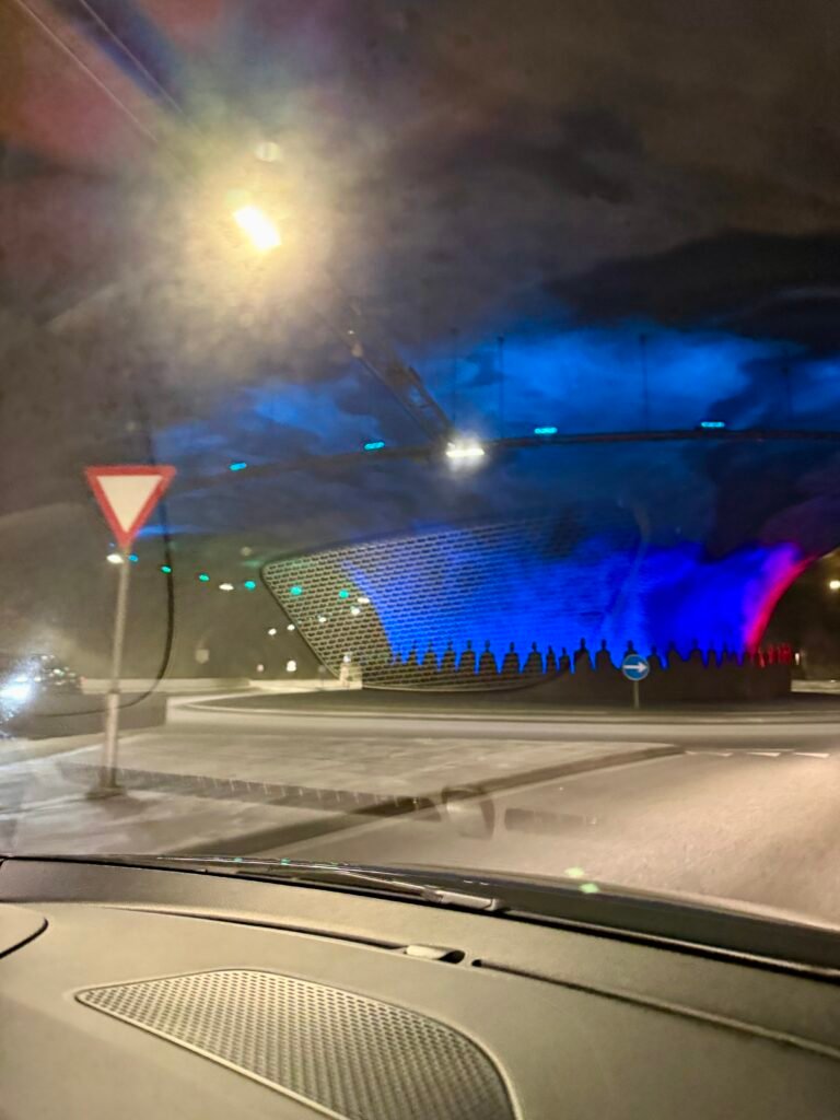
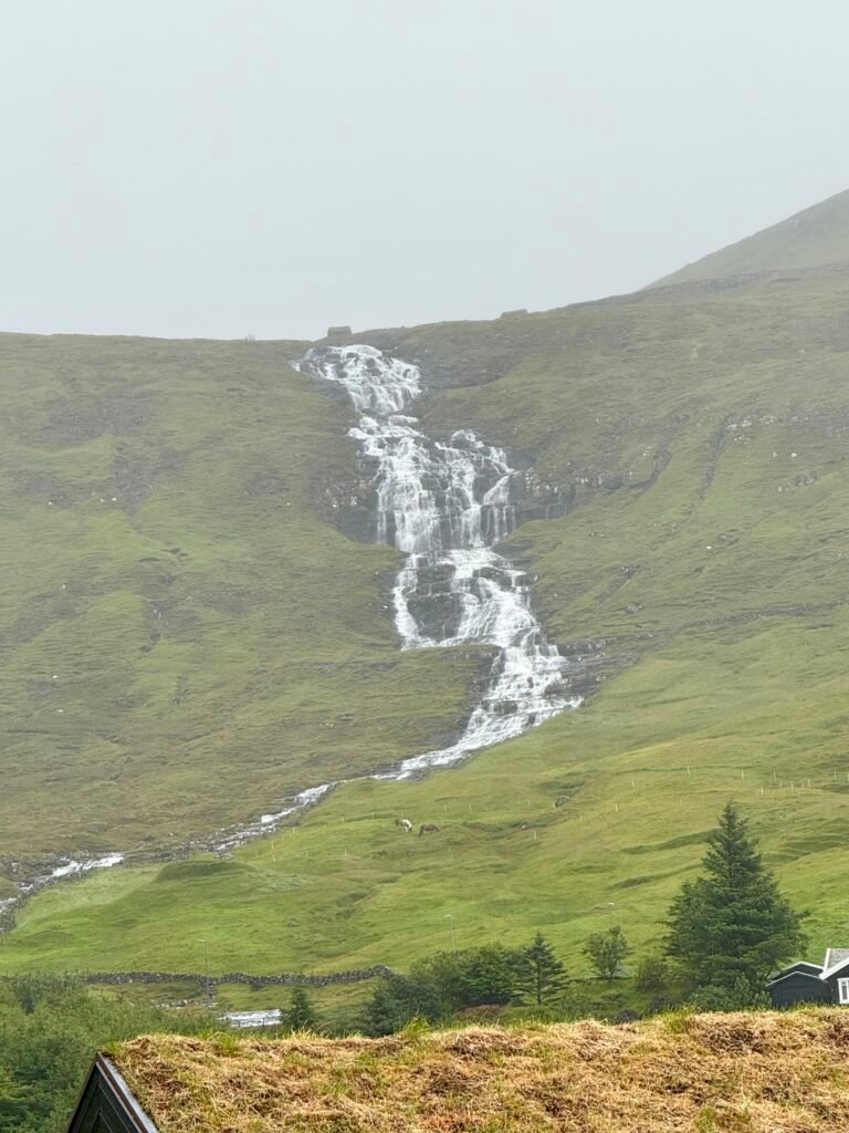
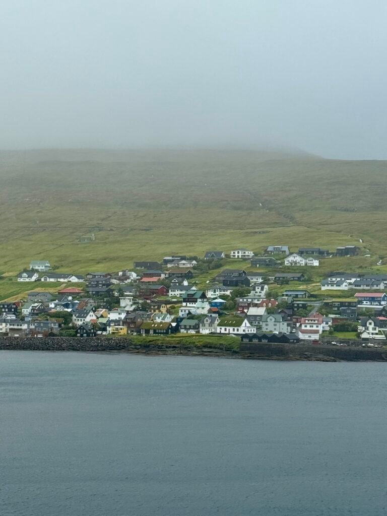
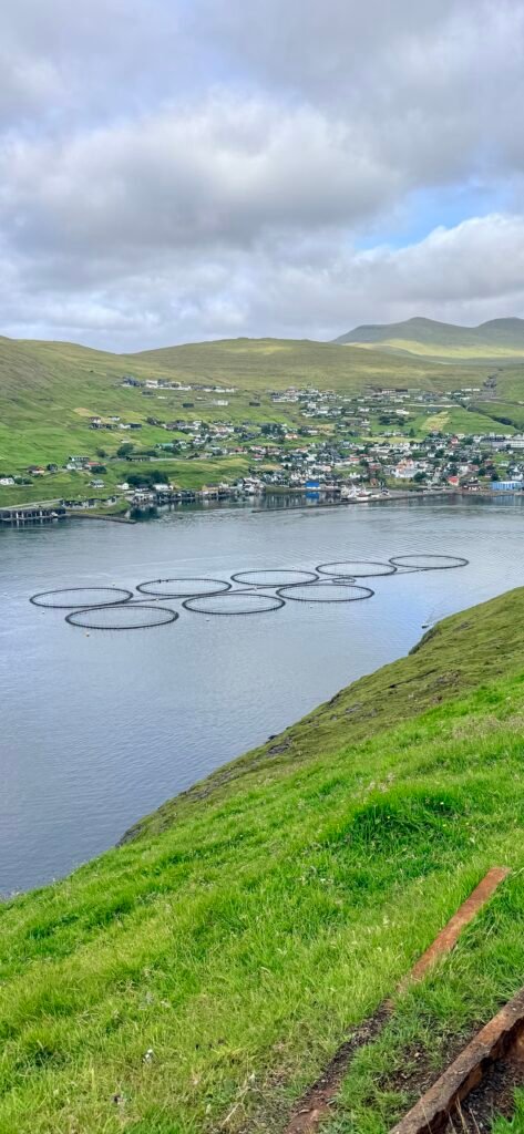
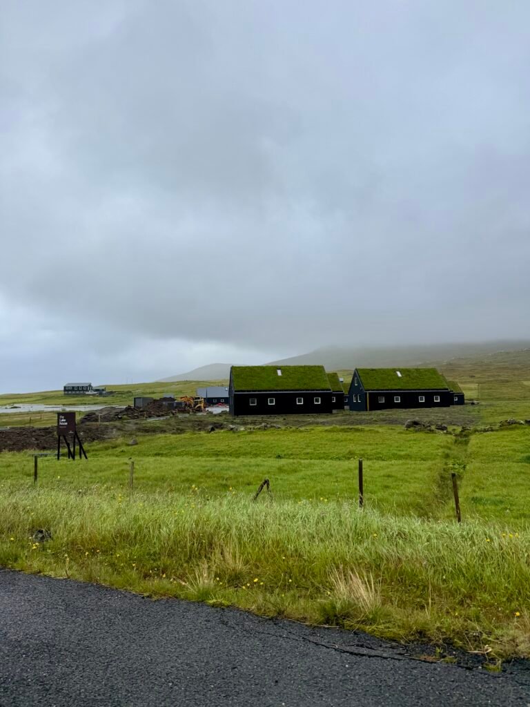
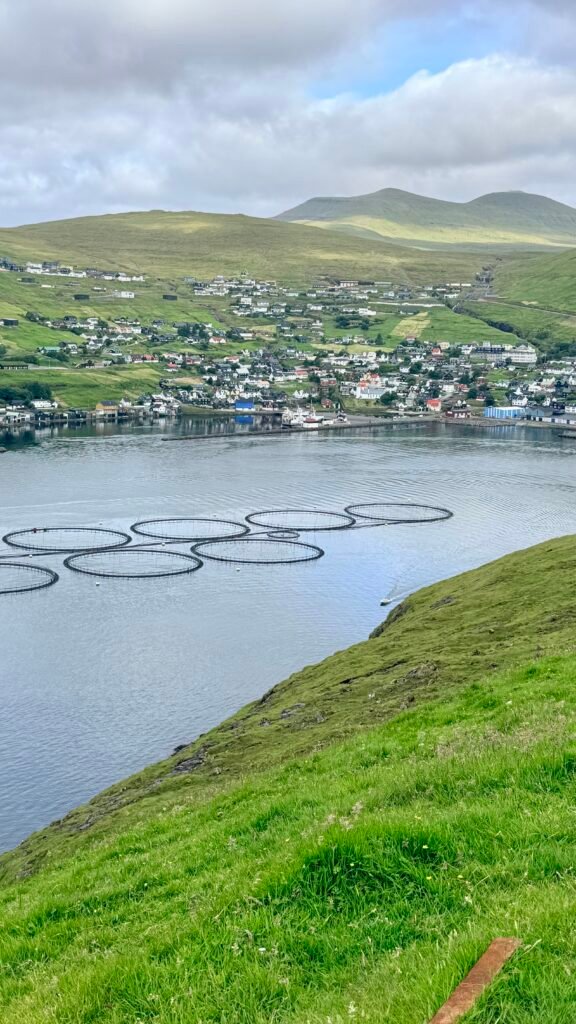
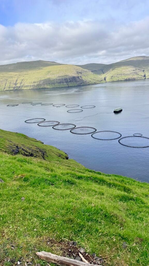
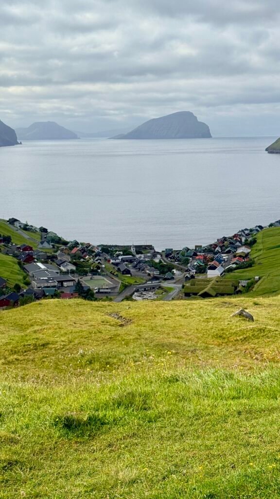
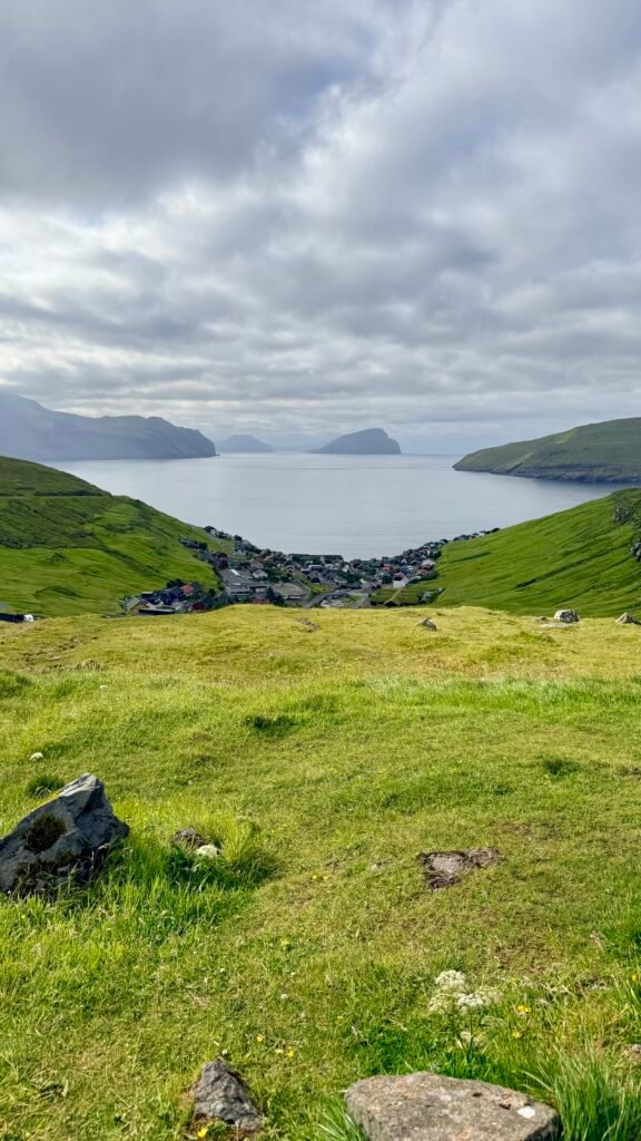
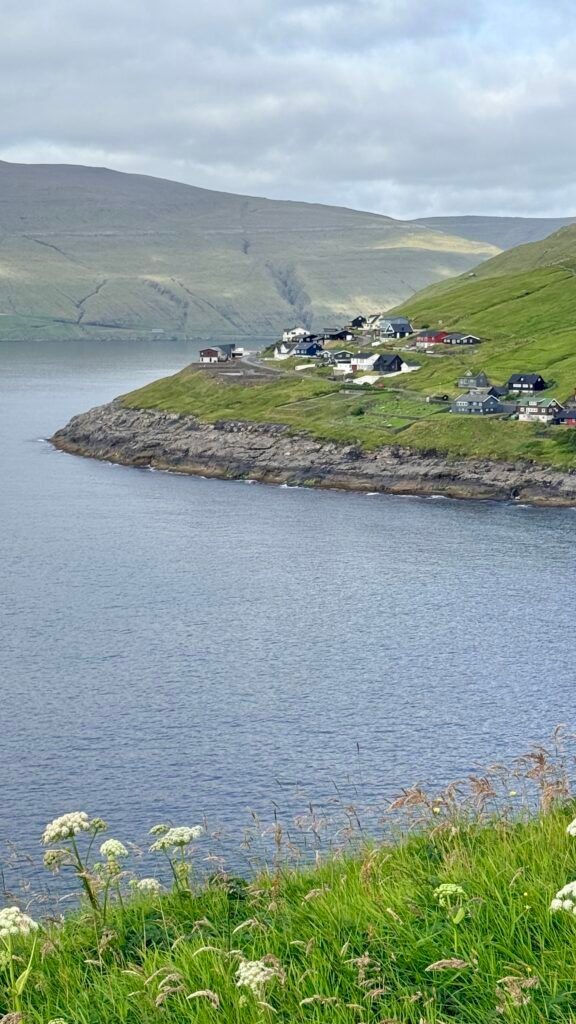
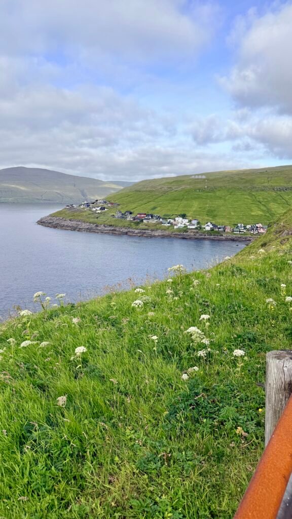
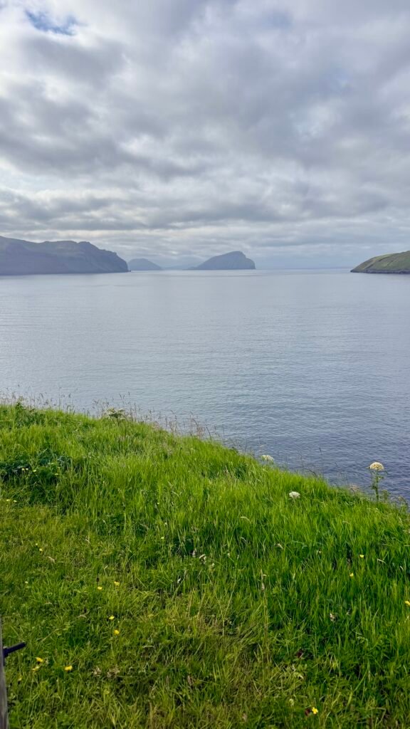
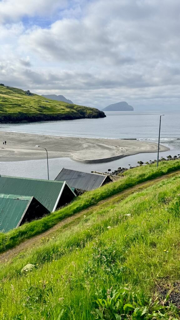
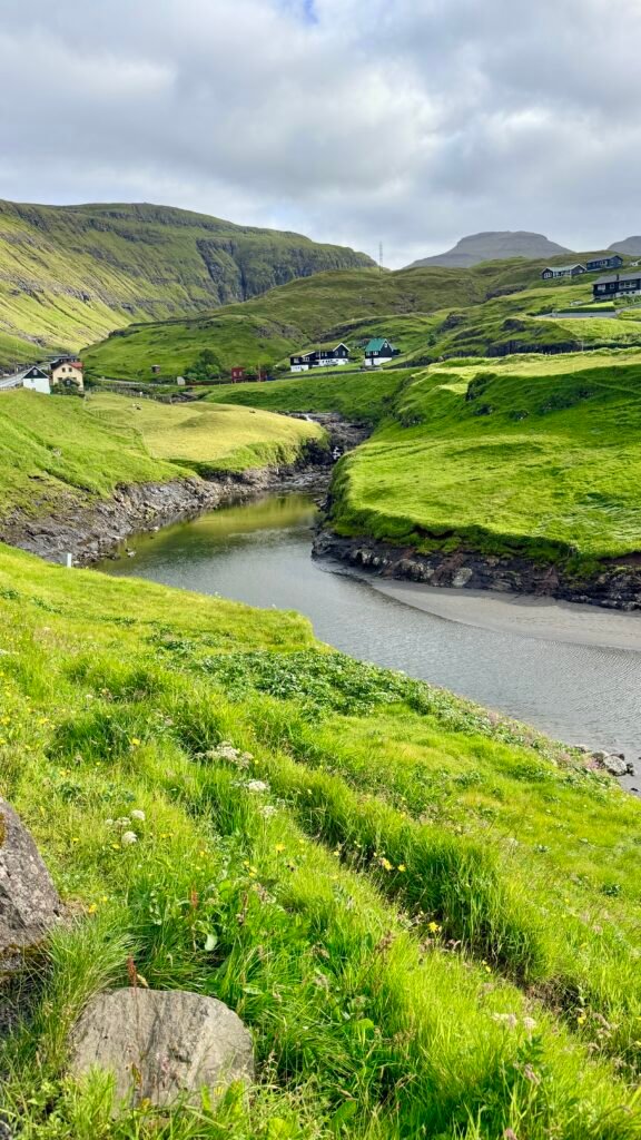
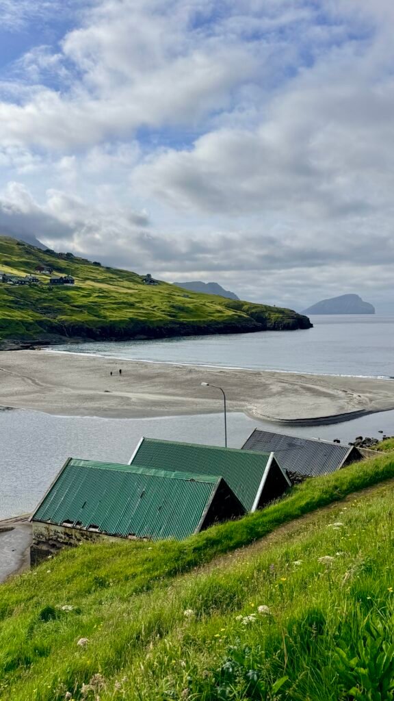
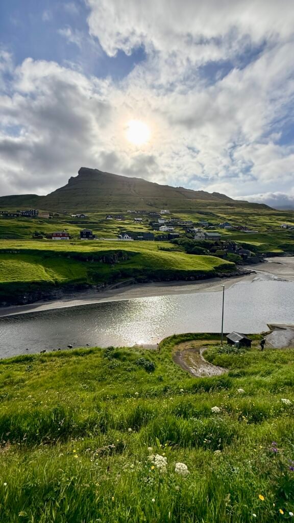
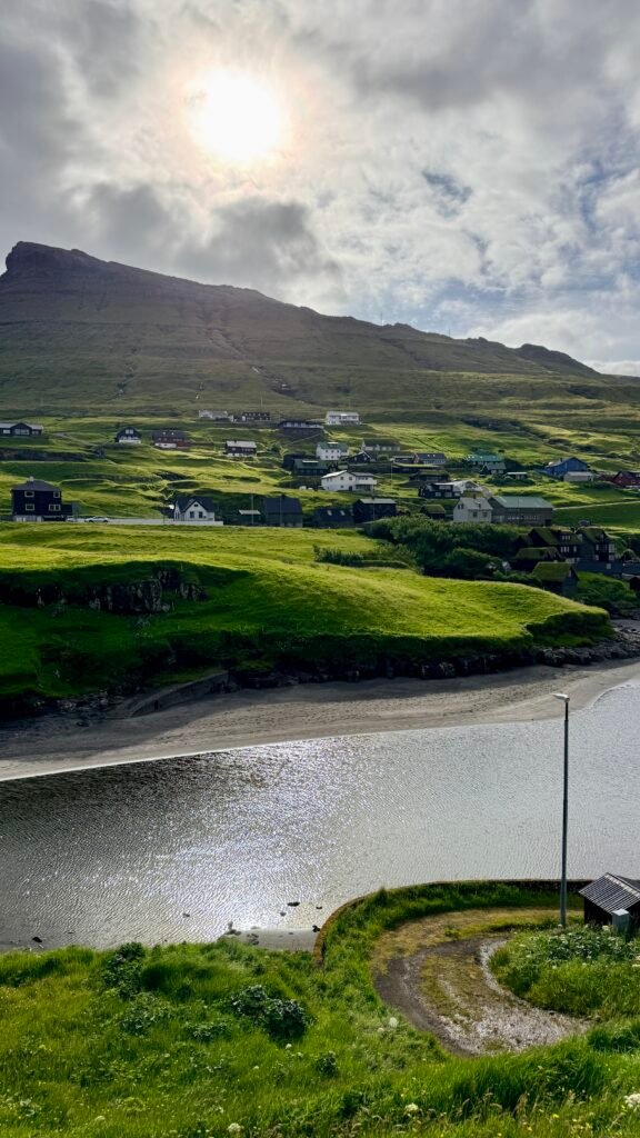
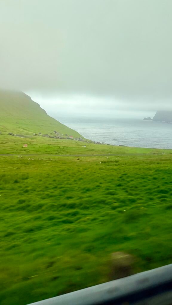
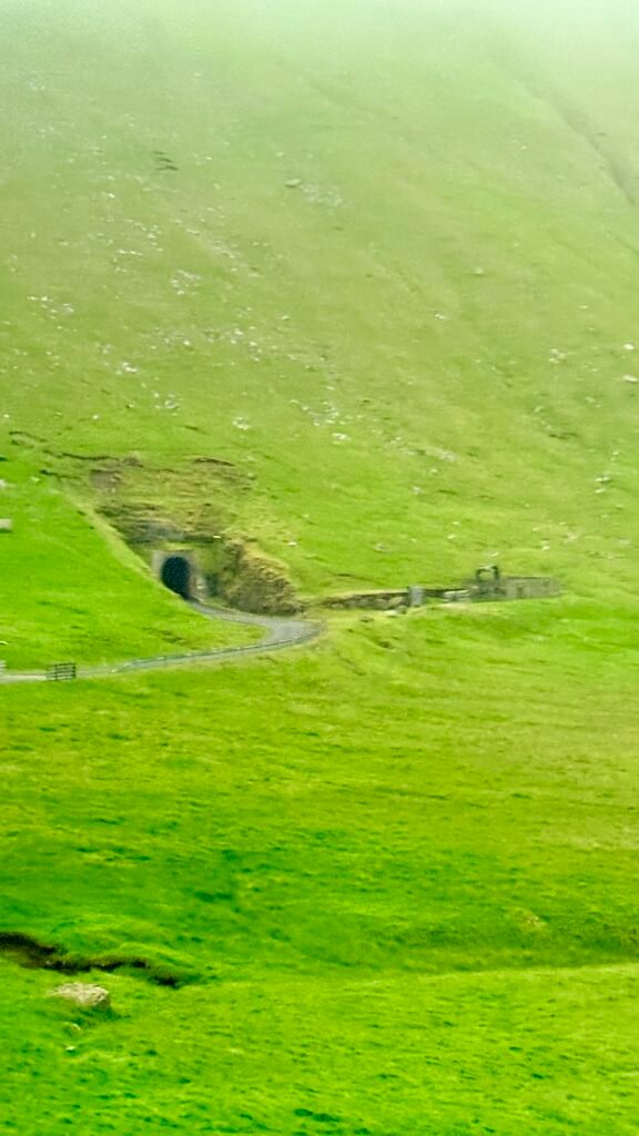
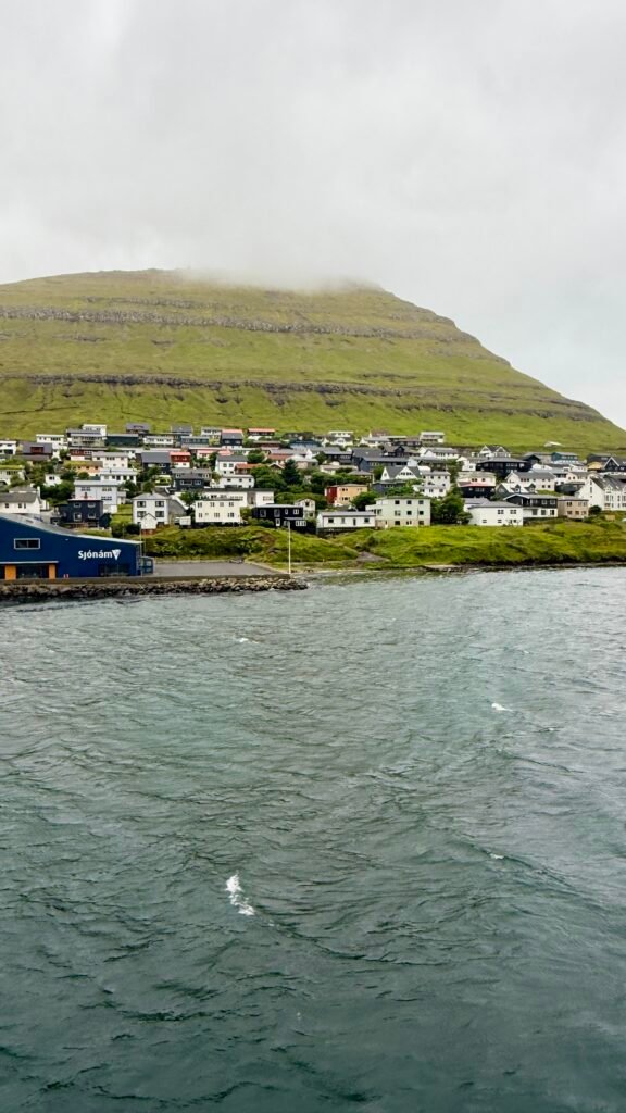
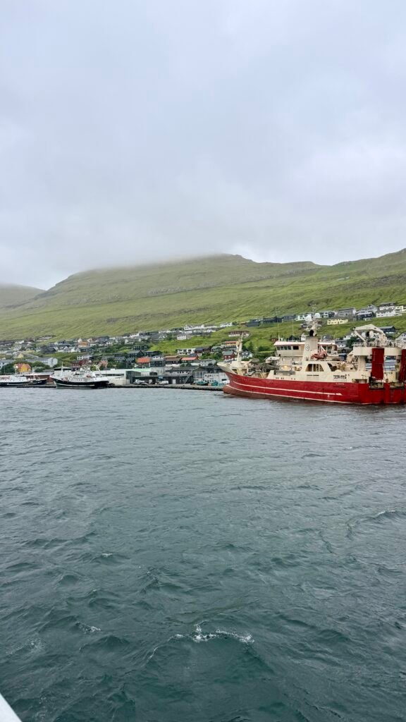
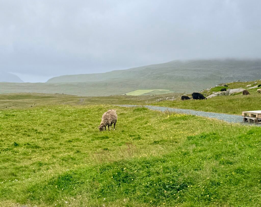
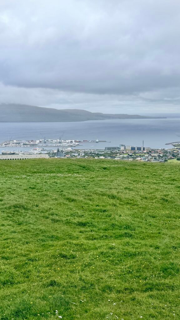
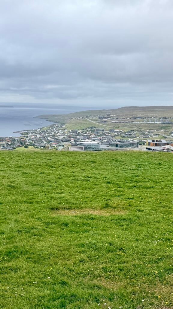
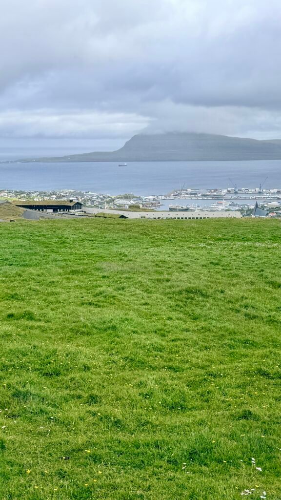
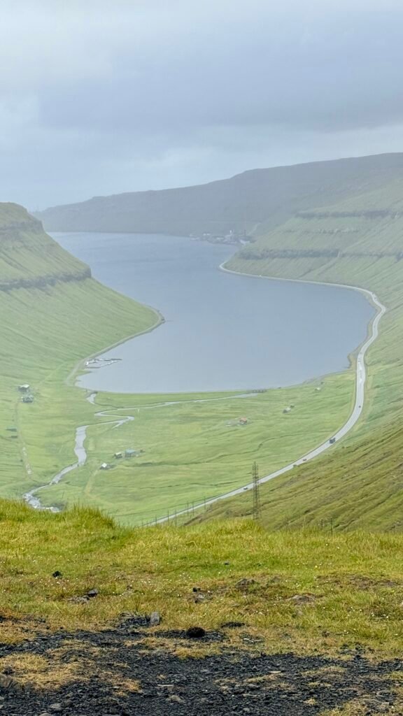
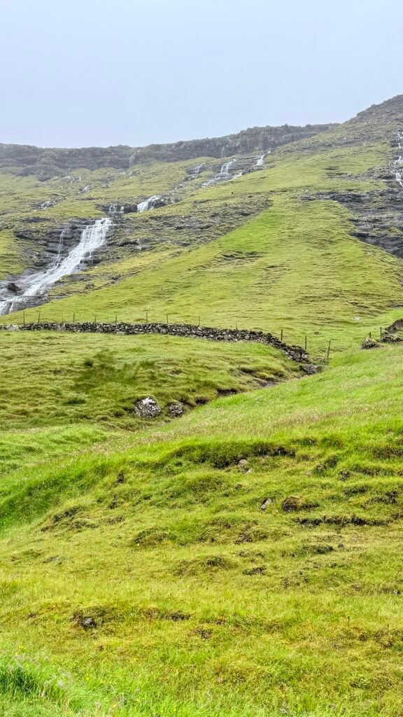
This is a long post with a ton of pictures, but the Faroe Islands are amazing. check out the videos for more details and visit before it gets spoiled by tourism.