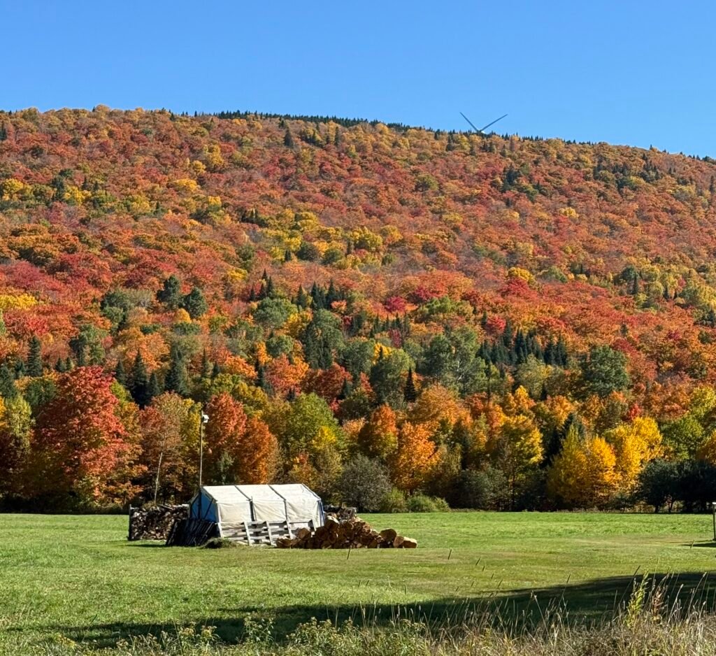
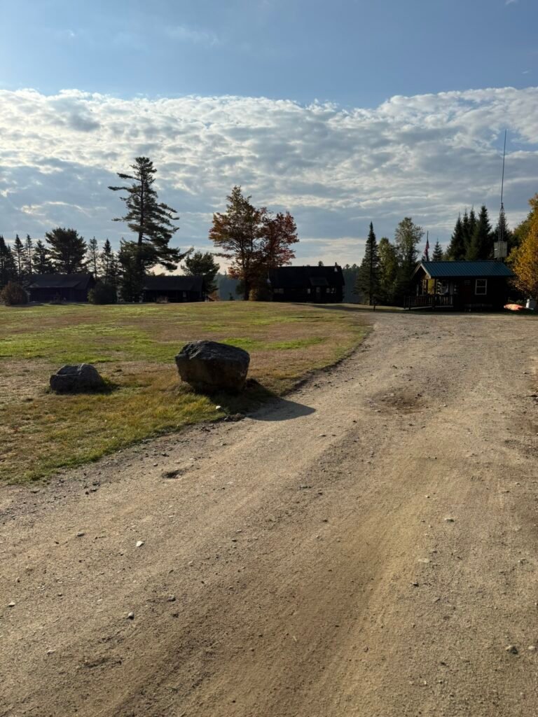
Baxter State Park is a large wilderness preserve in north-central Maine in Piscataquis County.
It was created through land donations by Governor Percival P. Baxter (1931–1962) to protect the land “forever wild.”
It spans over 200,000 acres (about 209,501 acres as of recent accounting)
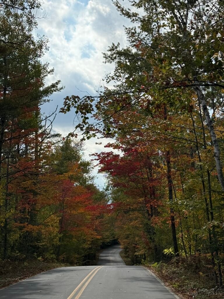
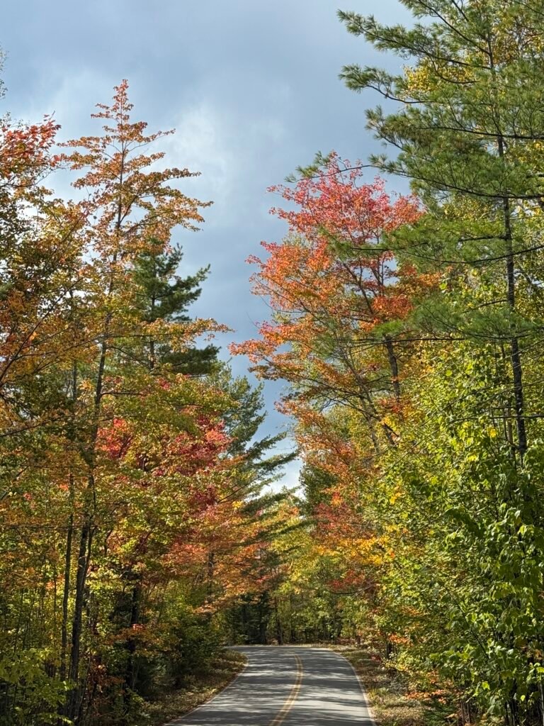
Unlike many state parks, it is not part of the Maine State Parks system; it’s governed by the Baxter State Park Authority. The centerpiece is Mount Katahdin, the highest peak in Maine (~ 5,269 ft), and the northern terminus of the Appalachian Trail. While we would have loved to hike Mount Katahdin, we were not close to prepared, this is extremely difficult and we have 2 friends that did it and loved it. There are over 200 miles of hiking trails in the park, through diverse terrains
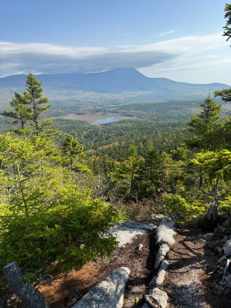
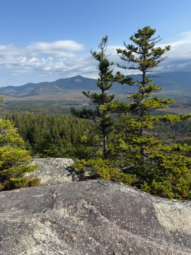
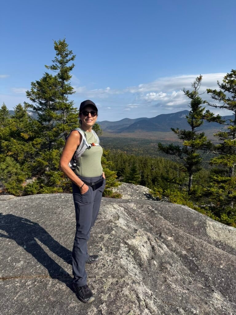
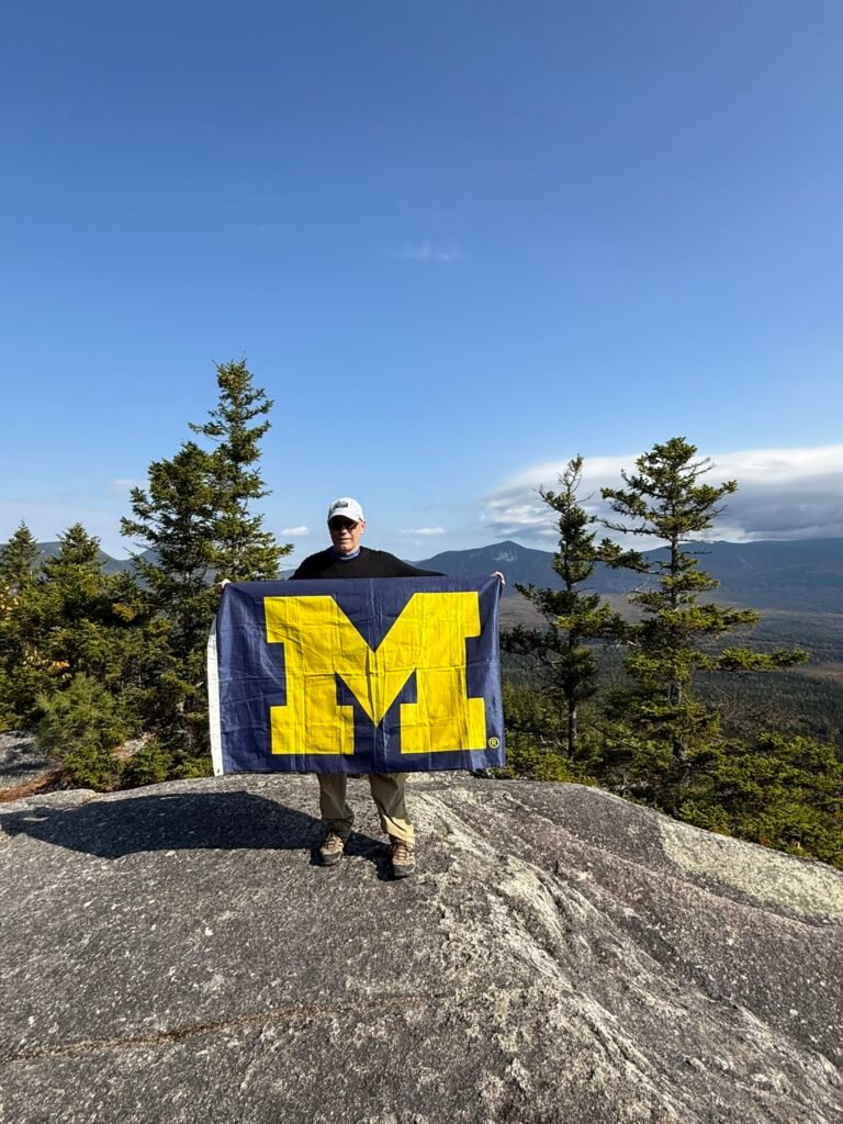
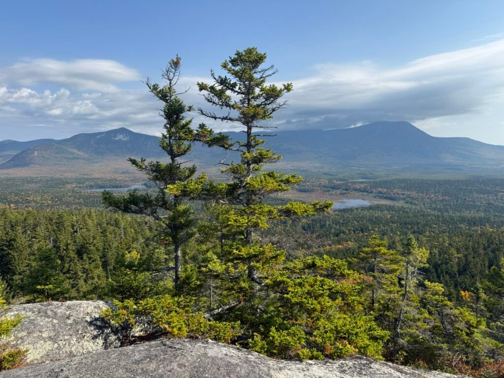
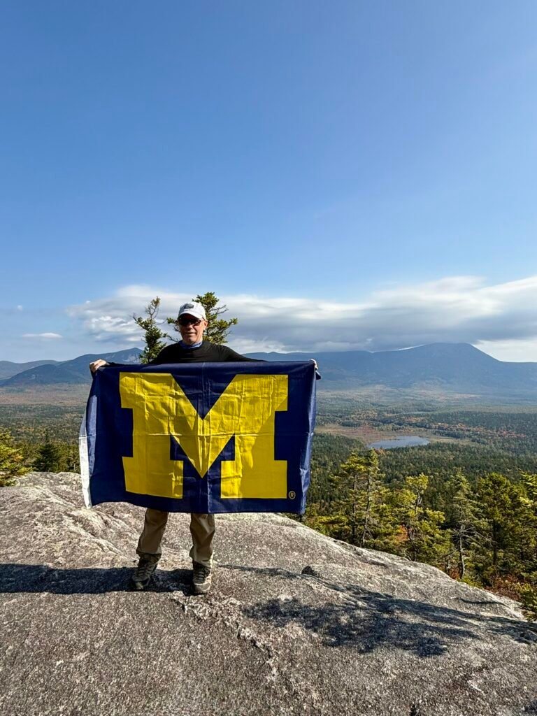
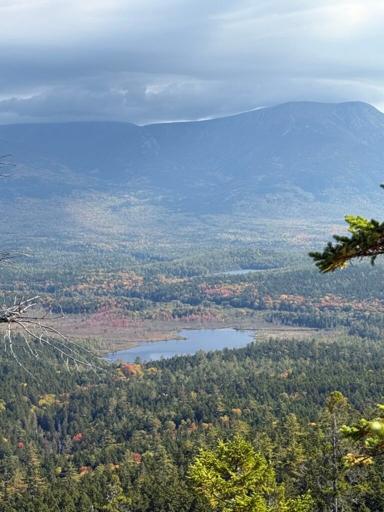
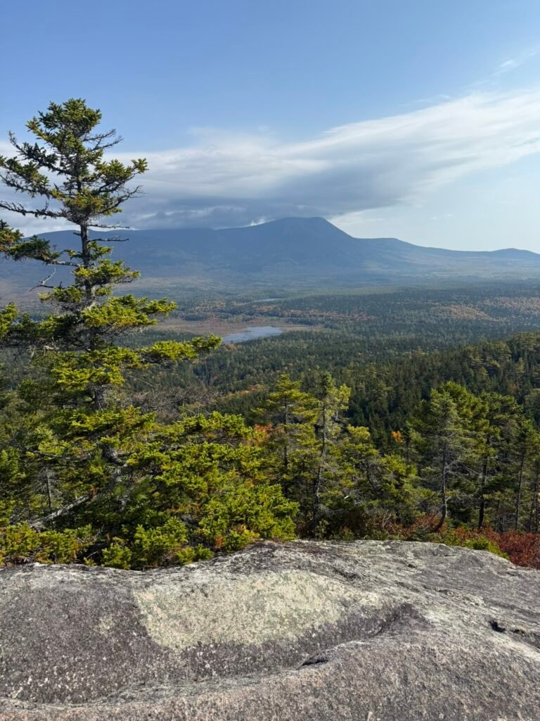
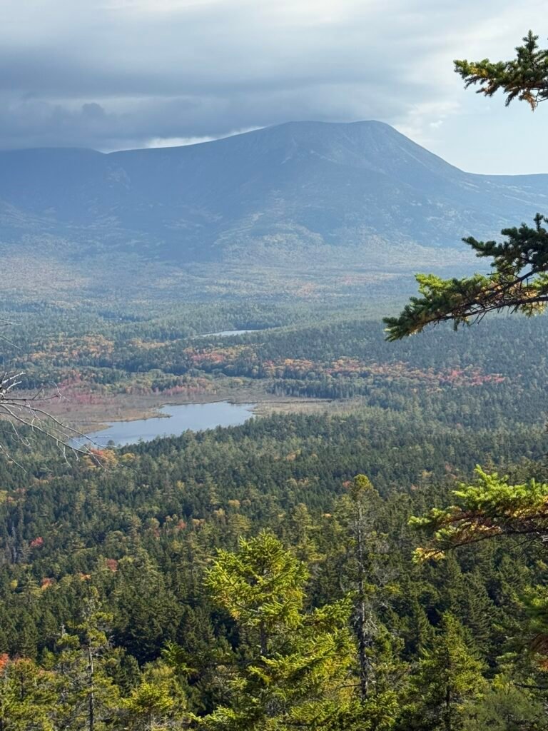
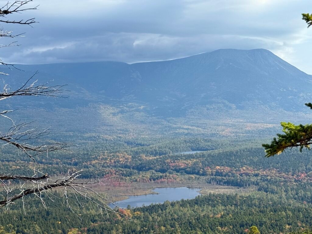
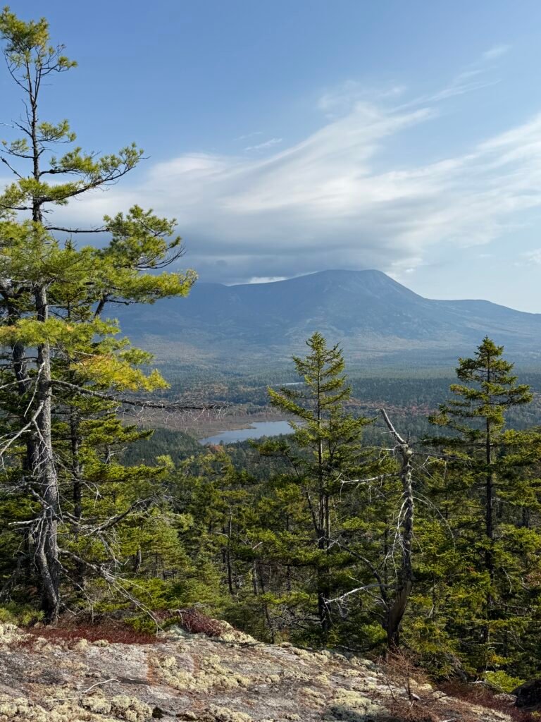
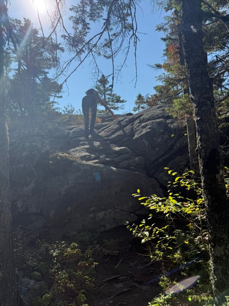
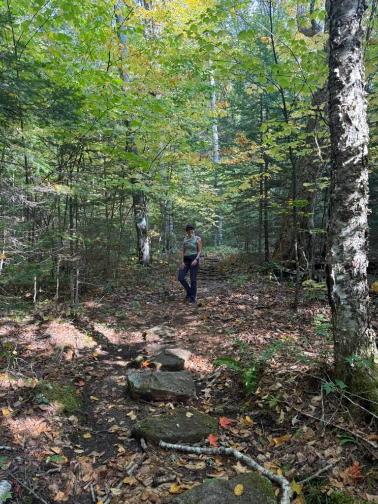
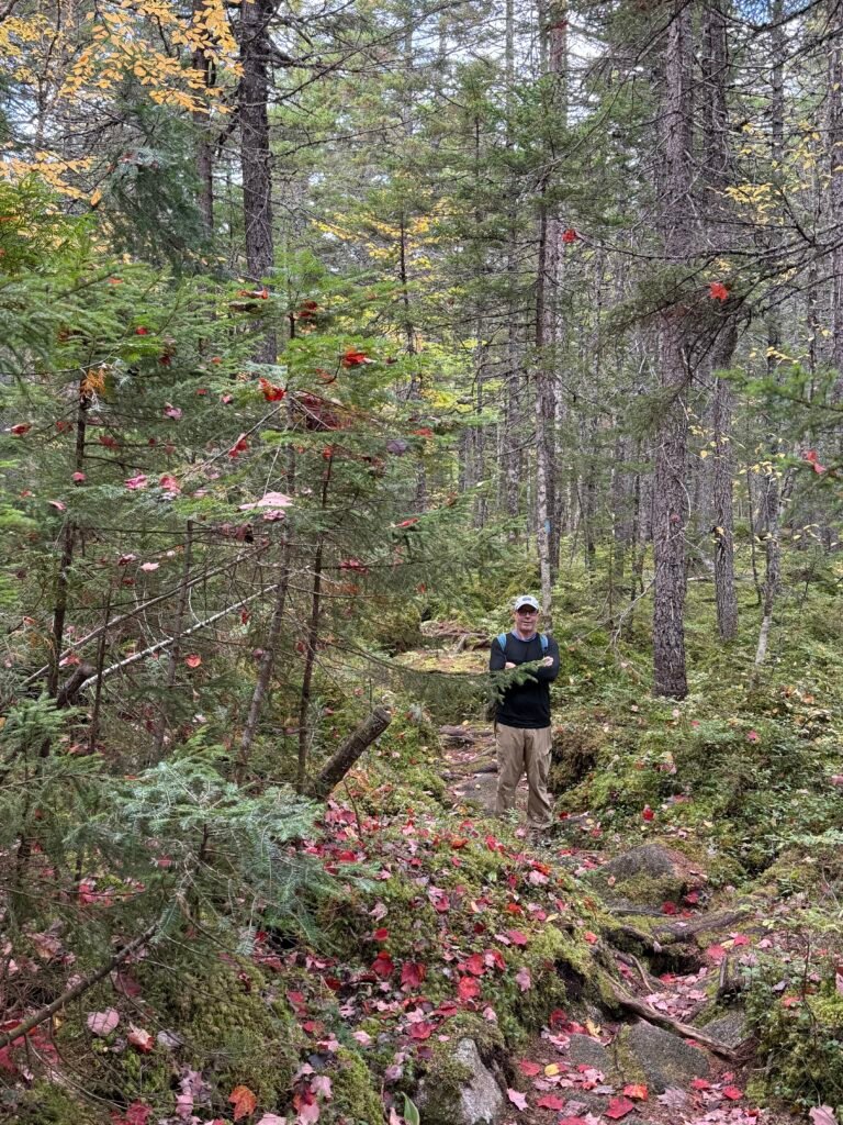
We hike Sentinel Mountain and loved it. Awesome views from the top.
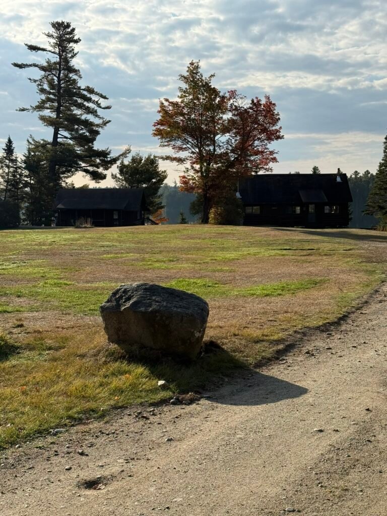
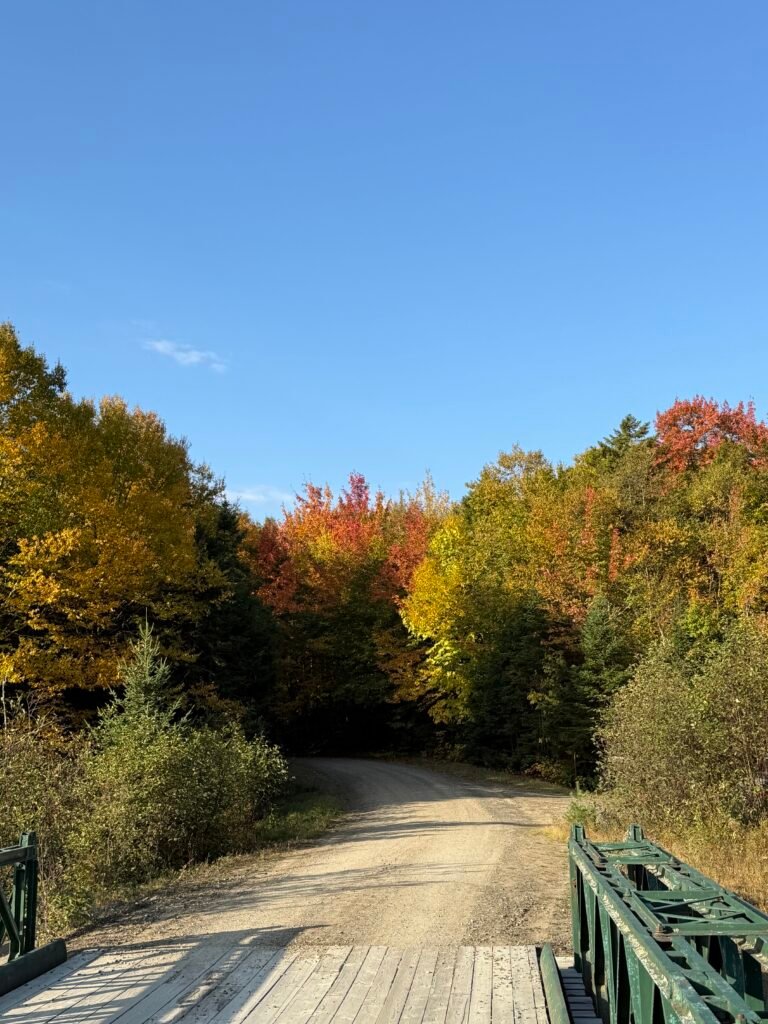
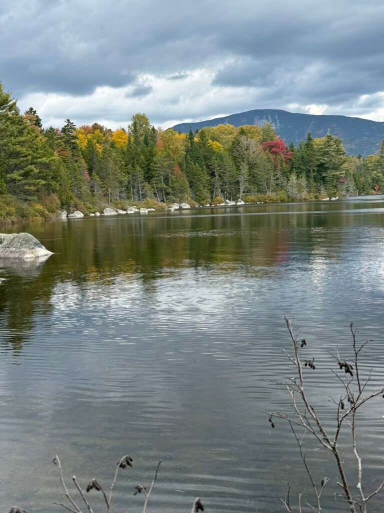
The hike begins at the Kidney Pond trailhead (near Kidney Pond Campground).
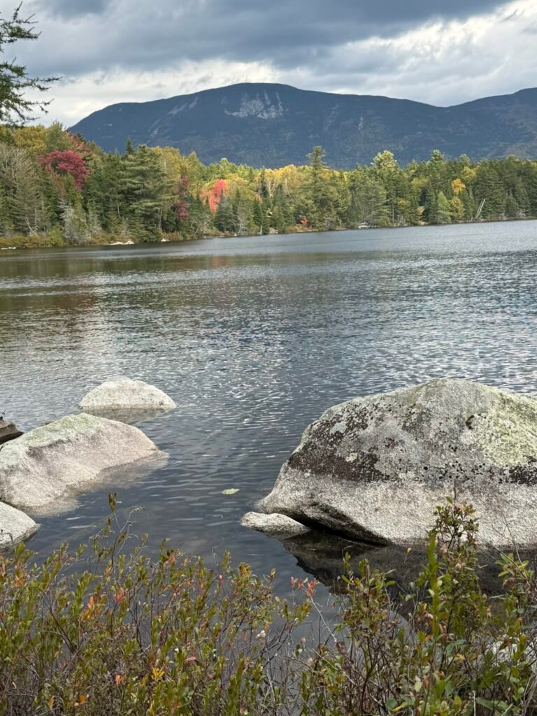
First ~0.5 mile is along Kidney Pond Trail, fairly flat, with views of the pond.
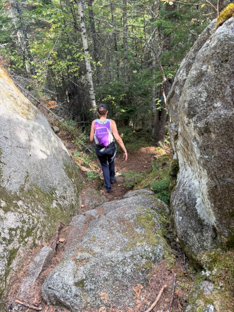
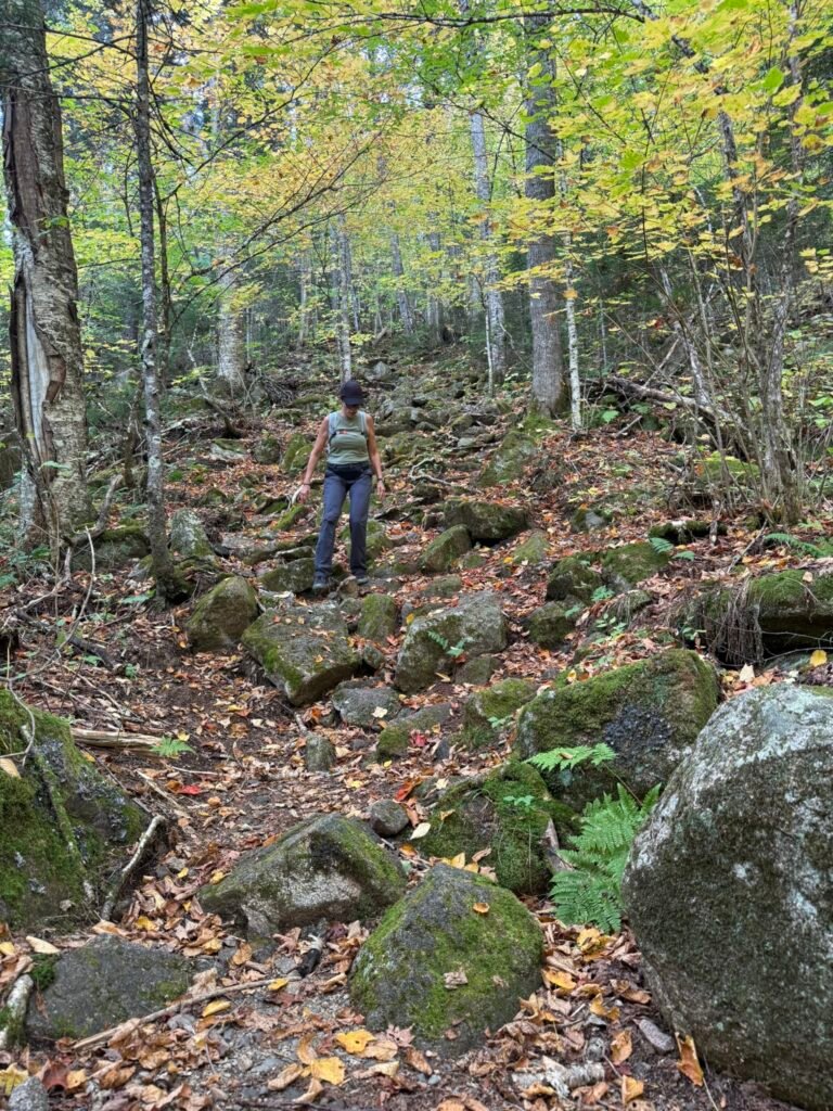
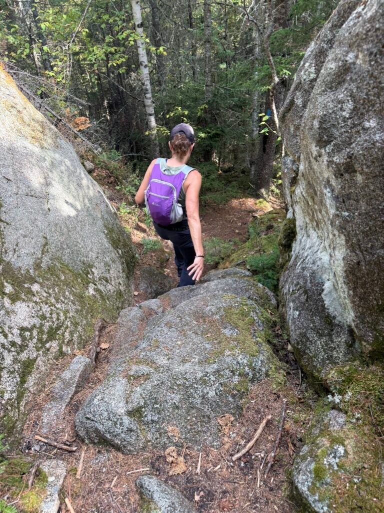
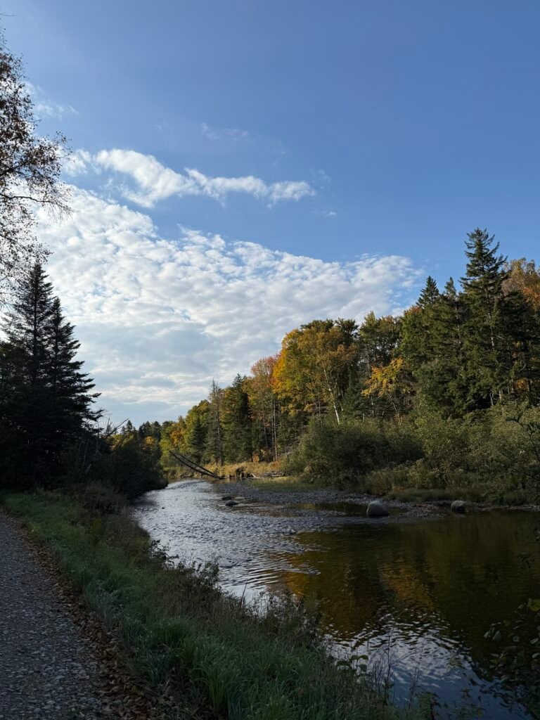
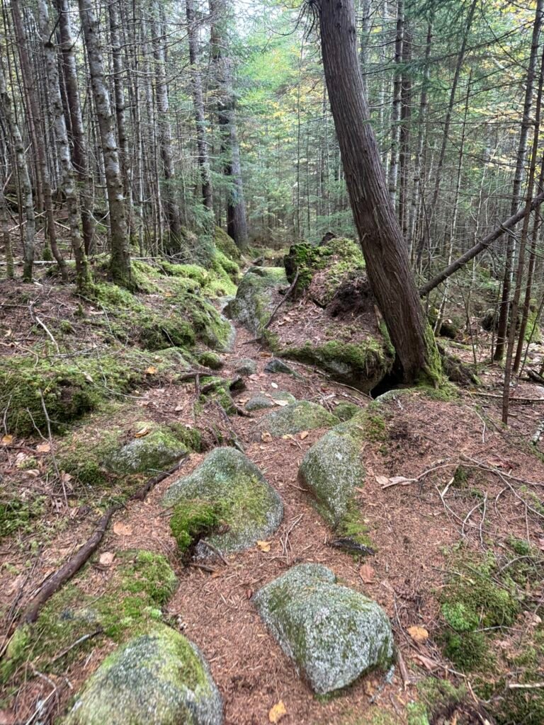
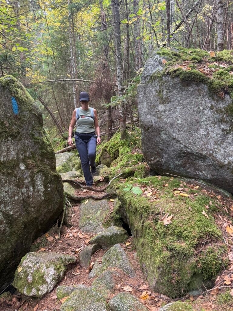
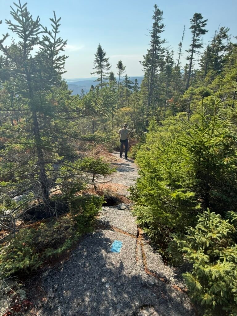
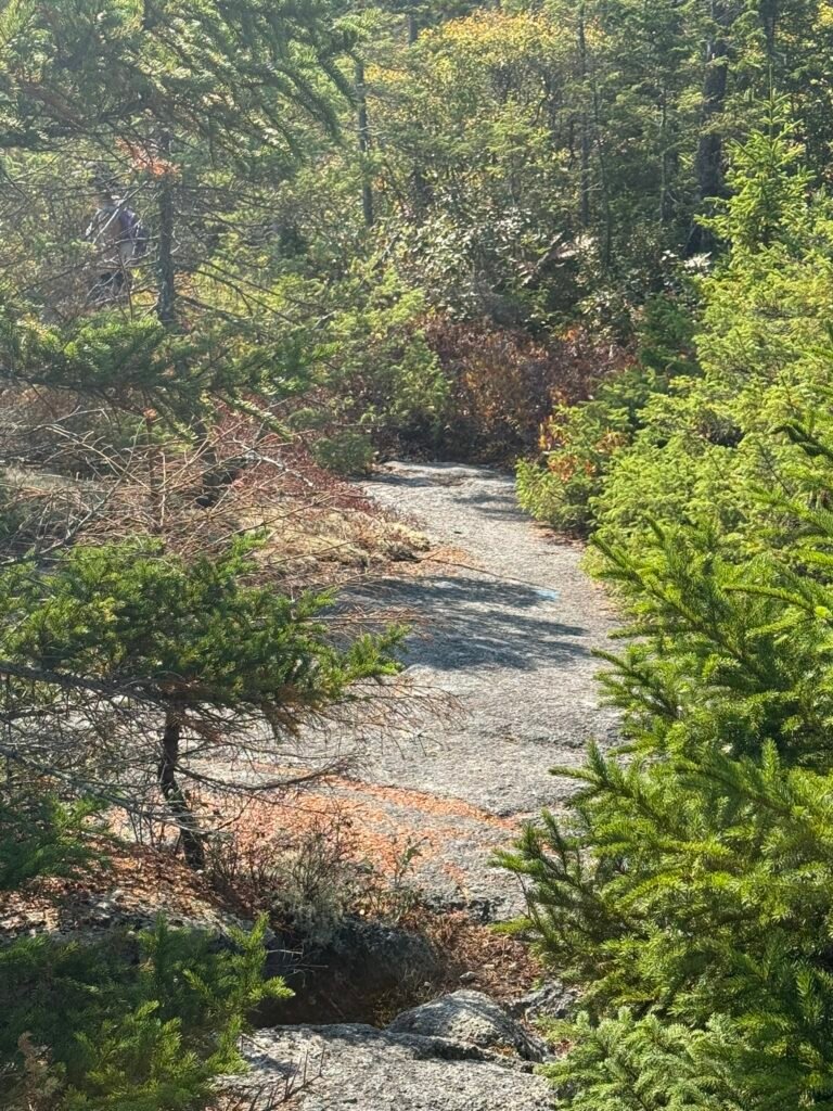
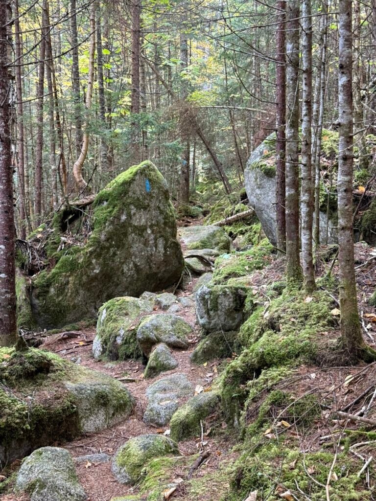
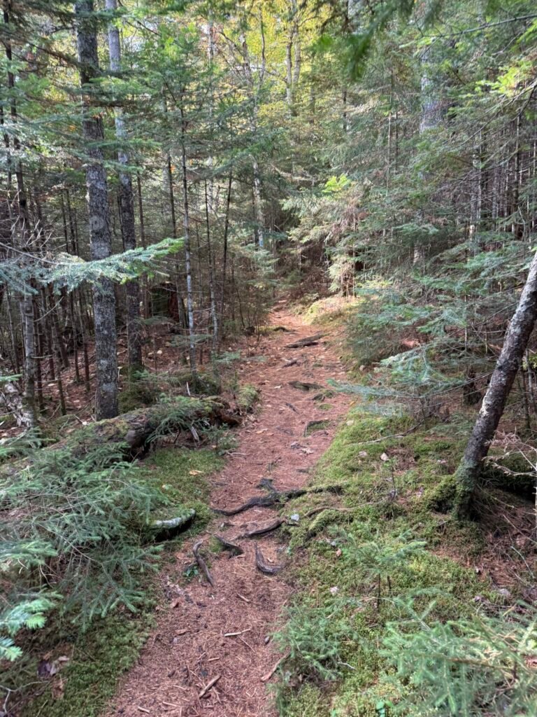
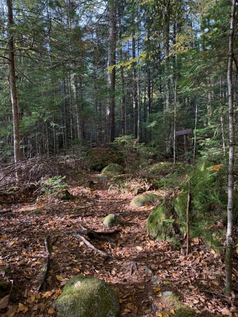
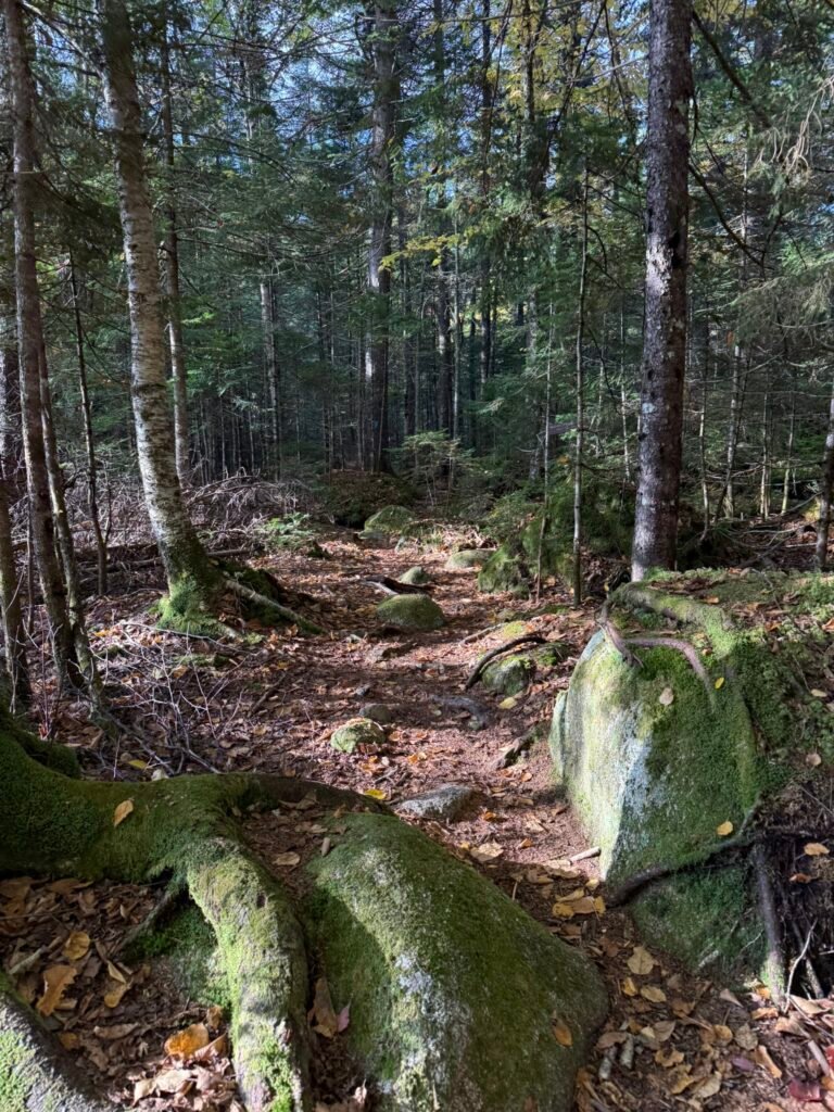
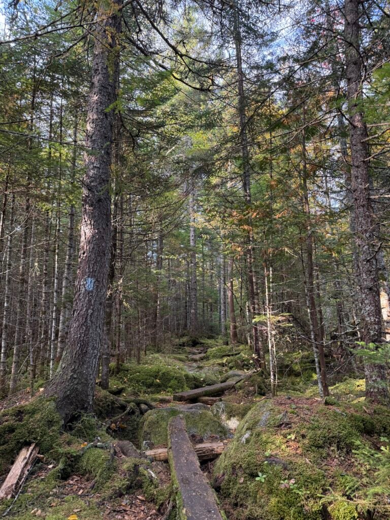
Then you turn onto the Sentinel Mountain Trail. The terrain gets more varied: forested, some bog bridges, exposed roots and rocks.
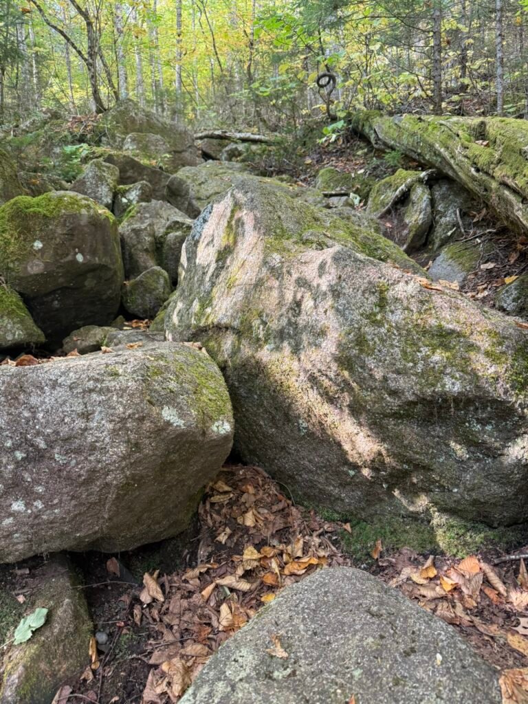
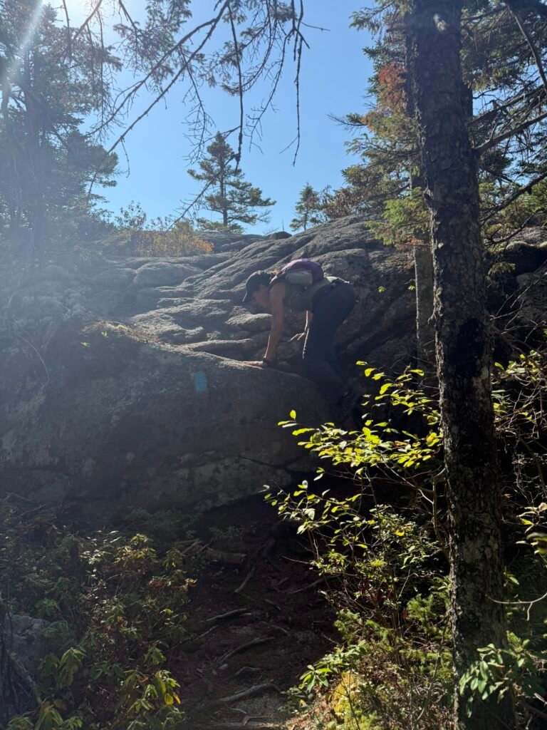
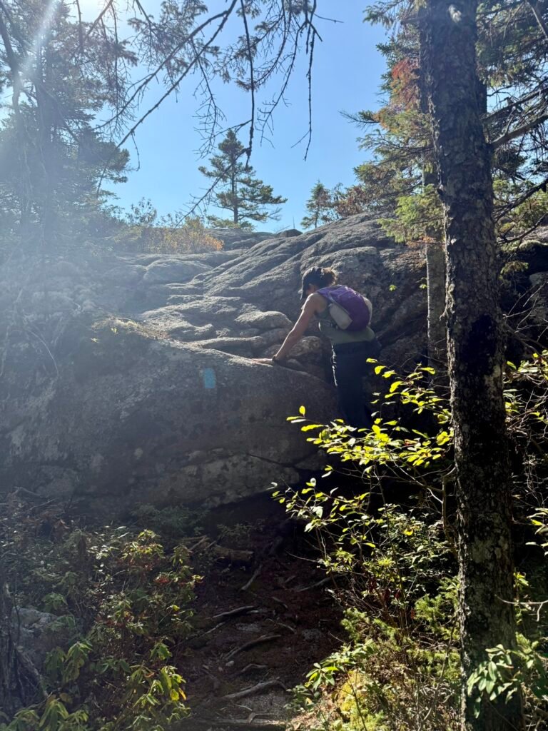
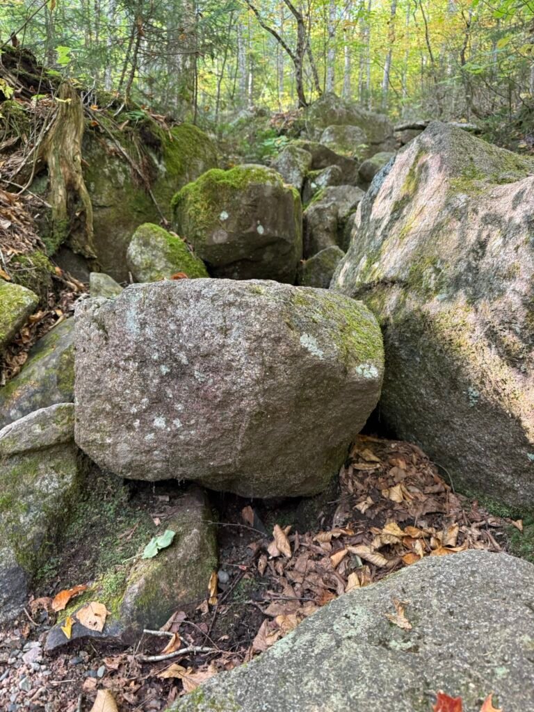
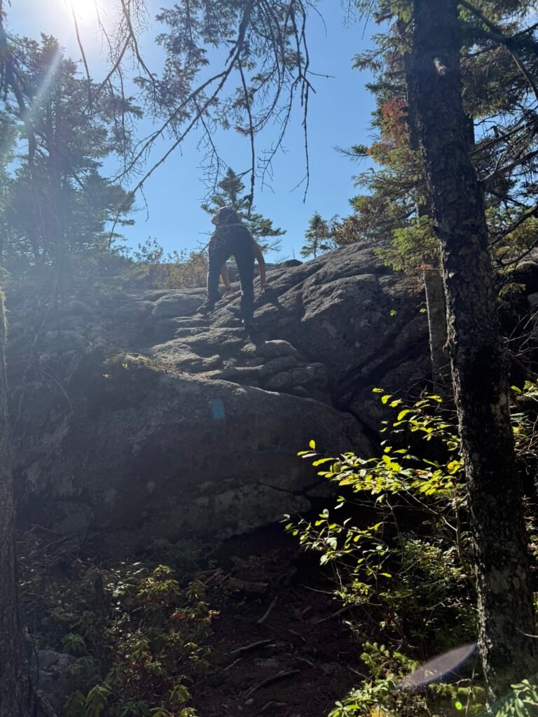
After crossing Beaver Brook (via boulders / stepping stones) and gradual ascent, you reach steeper section as you near the summit.

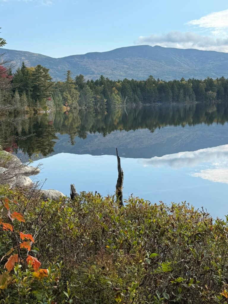
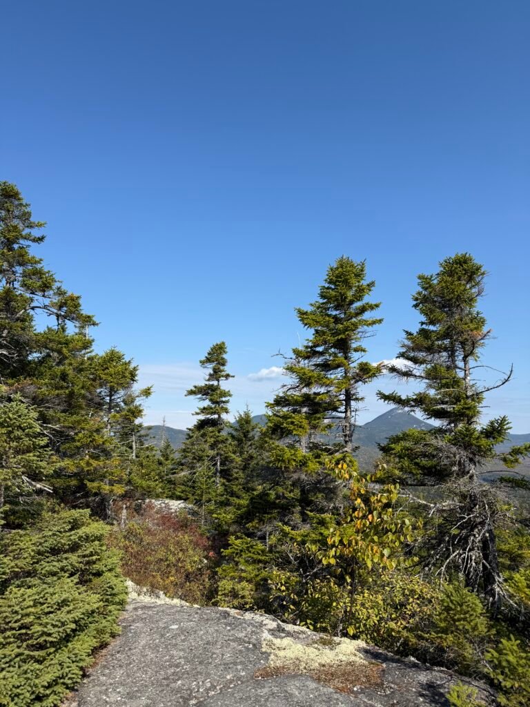
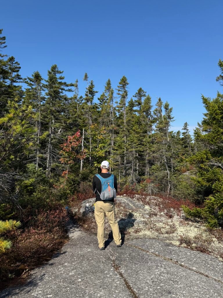
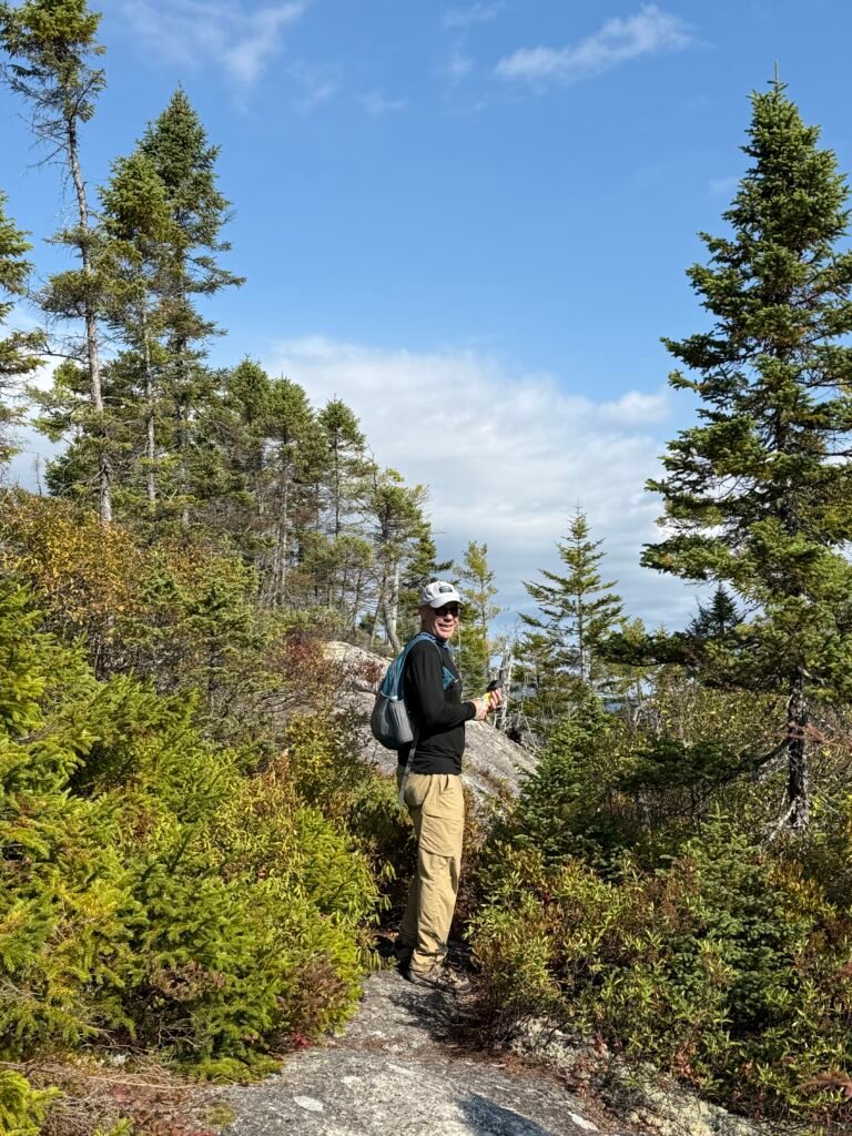
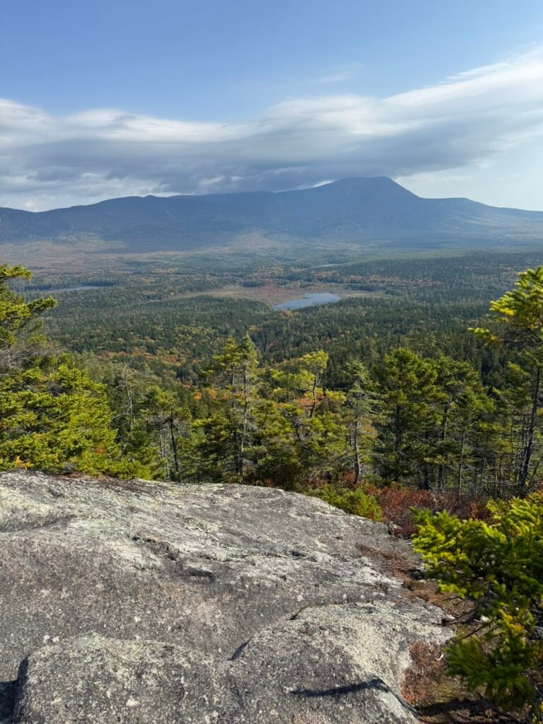
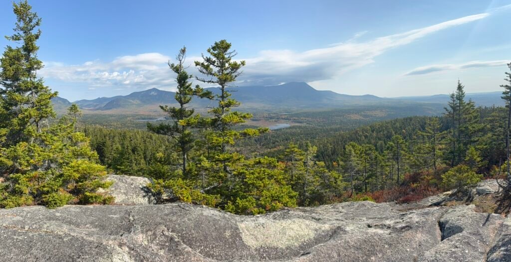
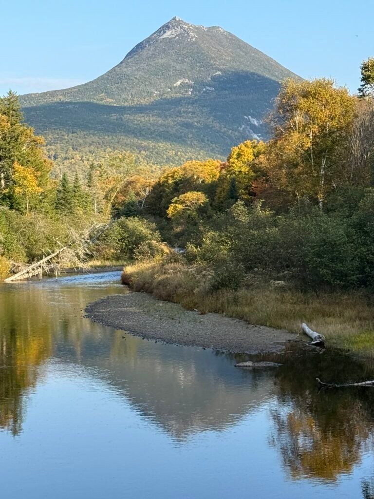
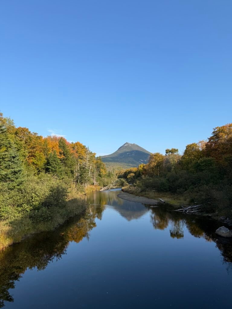
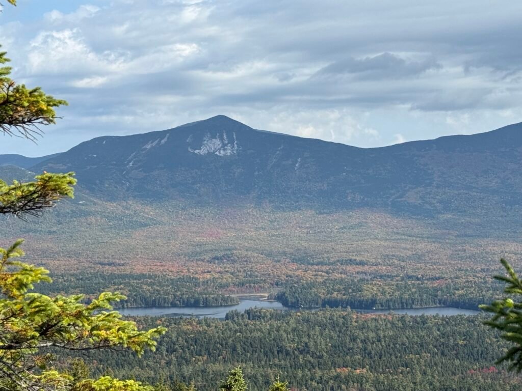
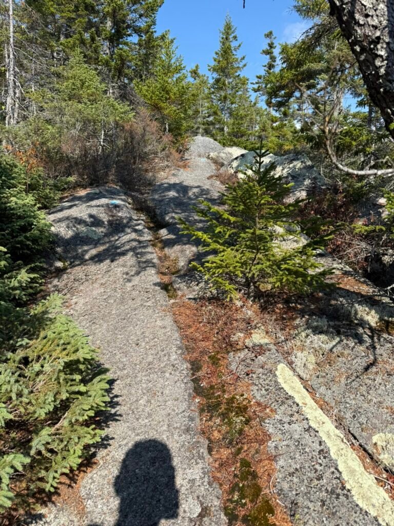
Once at the top, there’s a 0.6-mile loop around the summit with multiple overlooks including a view toward Katahdin and other nearby peaks. About 6.5 miles round trip with an elevation gain of almost 2000 feet. Not overly difficult, but not easy.